T
Seller's Agent in 2015
Thomas Wallace
Wallace & Co. Sotheby's
Estimated Value: $2,224,000 - $3,247,186
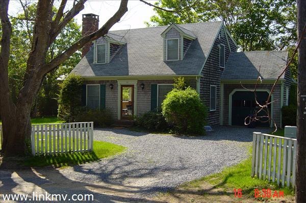
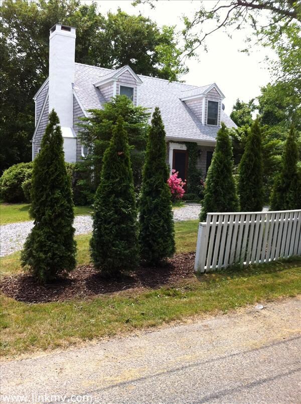
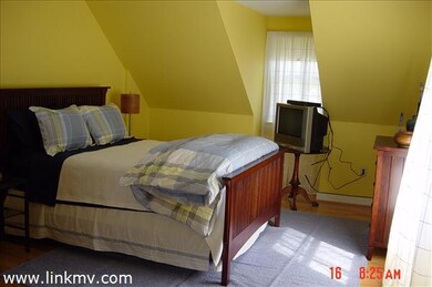
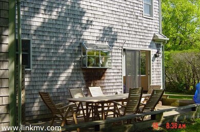
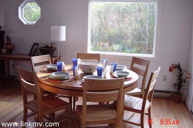
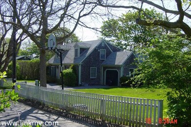
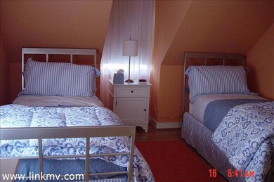
Charming 3 bedroom/2 full bath Cape, on a quiet Lane not far from the village center. Combination of hardwood and tile floors, woodburning fireplace, nice yard with underground irrigation, and a private patio for outdoor dining and entertaining. House can be expanded.
Last Agent to Sell the Property
Thomas Wallace
Wallace & Co. Sotheby's Listed on: 12/05/2011
Last Buyer's Agent
Wendy Harman
Compass | Point B
| Date | Buyer | Sale Price | Title Company |
|---|---|---|---|
| Klauber Adam | $840,000 | -- | |
| Antik Randall W | $730,000 | -- |
| Date | Status | Borrower | Loan Amount |
|---|---|---|---|
| Closed | Klauber Adam | $672,000 | |
| Previous Owner | Antik Randall W | $700,000 | |
| Previous Owner | Antik Randall W | $120,000 |
| Date | Event | Price | List to Sale | Price per Sq Ft |
|---|---|---|---|---|
| 09/22/2015 09/22/15 | Sold | $840,000 | -6.1% | $659 / Sq Ft |
| 05/01/2015 05/01/15 | Pending | -- | -- | -- |
| 12/05/2011 12/05/11 | For Sale | $895,000 | -- | $703 / Sq Ft |
| Year | Tax Paid | Tax Assessment Tax Assessment Total Assessment is a certain percentage of the fair market value that is determined by local assessors to be the total taxable value of land and additions on the property. | Land | Improvement |
|---|---|---|---|---|
| 2025 | $6,418 | $2,421,800 | $964,200 | $1,457,600 |
| 2024 | $5,691 | $2,231,600 | $964,200 | $1,267,400 |
| 2023 | $5,548 | $2,201,400 | $1,004,400 | $1,197,000 |
| 2022 | $5,116 | $1,688,600 | $947,000 | $741,600 |
| 2021 | $5,083 | $1,549,600 | $860,900 | $688,700 |
| 2020 | $4,811 | $1,436,100 | $782,600 | $653,500 |
| 2019 | $5,810 | $1,501,400 | $847,900 | $653,500 |
| 2018 | $5,131 | $1,325,800 | $818,200 | $507,600 |
| 2017 | $3,128 | $881,000 | $629,400 | $251,600 |
| 2016 | $2,981 | $823,400 | $629,400 | $194,000 |
| 2015 | $2,681 | $772,700 | $571,900 | $200,800 |
T
Seller's Agent in 2015
Thomas Wallace
Wallace & Co. Sotheby's
W
Buyer's Agent in 2015
Wendy Harman
Compass | Point B
Source: LINK (Vineyard)
MLS Number: 22296
APN: EDGA-000029A-000046