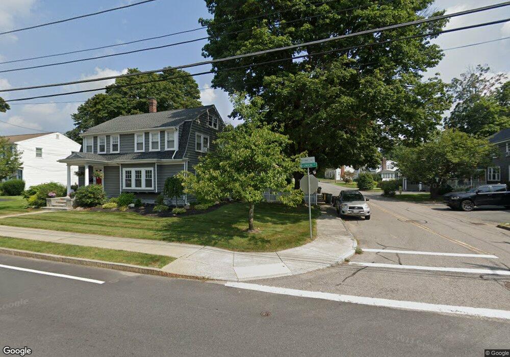
20 Pearl St Franklin, MA 02038
Downtown Franklin NeighborhoodEstimated Value: $534,308 - $623,000
3
Beds
1
Bath
1,508
Sq Ft
$383/Sq Ft
Est. Value
About This Home
This home is located at 20 Pearl St, Franklin, MA 02038 and is currently estimated at $578,077, approximately $383 per square foot. 20 Pearl St is a home located in Norfolk County with nearby schools including Helen Keller Elementary School, Annie Sullivan Middle School, and Franklin High School.
Ownership History
Date
Name
Owned For
Owner Type
Purchase Details
Closed on
Jul 31, 1990
Sold by
First Plymouth Nominee
Bought by
Laneve Timothy W
Current Estimated Value
Home Financials for this Owner
Home Financials are based on the most recent Mortgage that was taken out on this home.
Original Mortgage
$137,700
Interest Rate
10.01%
Mortgage Type
Purchase Money Mortgage
Purchase Details
Closed on
Nov 8, 1989
Sold by
Mtg Corp Of Ne
Bought by
First Plymouth Nom Cor
Home Financials for this Owner
Home Financials are based on the most recent Mortgage that was taken out on this home.
Original Mortgage
$105,000
Interest Rate
9.83%
Create a Home Valuation Report for This Property
The Home Valuation Report is an in-depth analysis detailing your home's value as well as a comparison with similar homes in the area
Home Values in the Area
Average Home Value in this Area
Purchase History
| Date | Buyer | Sale Price | Title Company |
|---|---|---|---|
| Laneve Timothy W | $136,000 | -- | |
| First Plymouth Nom Cor | $51,000 | -- |
Source: Public Records
Mortgage History
| Date | Status | Borrower | Loan Amount |
|---|---|---|---|
| Closed | First Plymouth Nom Cor | $141,990 | |
| Closed | First Plymouth Nom Cor | $137,700 | |
| Previous Owner | First Plymouth Nom Cor | $105,000 | |
| Previous Owner | First Plymouth Nom Cor | $75,000 |
Source: Public Records
Tax History
| Year | Tax Paid | Tax Assessment Tax Assessment Total Assessment is a certain percentage of the fair market value that is determined by local assessors to be the total taxable value of land and additions on the property. | Land | Improvement |
|---|---|---|---|---|
| 2025 | $5,237 | $450,700 | $234,200 | $216,500 |
| 2024 | $5,059 | $429,100 | $234,200 | $194,900 |
| 2023 | $5,354 | $425,600 | $255,700 | $169,900 |
| 2022 | $4,842 | $344,600 | $195,200 | $149,400 |
| 2021 | $4,730 | $322,900 | $203,200 | $119,700 |
| 2020 | $4,623 | $318,600 | $205,000 | $113,600 |
| 2019 | $4,304 | $293,600 | $179,900 | $113,700 |
| 2018 | $4,177 | $285,100 | $183,500 | $101,600 |
| 2017 | $4,104 | $281,500 | $179,900 | $101,600 |
| 2016 | $3,995 | $275,500 | $186,900 | $88,600 |
| 2015 | $3,821 | $257,500 | $168,900 | $88,600 |
| 2014 | $3,650 | $252,600 | $164,000 | $88,600 |
Source: Public Records
Map
Nearby Homes
- 120 Union St Unit 1
- 88 Crescent St
- 14 Pleasant St Unit B
- 70 Oak St
- 90 E Central St Unit 103
- 90 E Central St Unit 106
- 90 E Central St Unit 304
- 90 E Central St Unit 202
- 90 E Central St Unit 105
- 90 E Central St Unit 301
- 17 Longhill Rd
- 99 Summer St
- 30 Longobardi Dr Unit 30
- 374-378 Union St
- 3 Washington St
- 1 Washington St
- 62 Uncas Ave
- 64 Uncas Ave
- 76 Uncas Ave
- 66 Uncas Ave
Your Personal Tour Guide
Ask me questions while you tour the home.