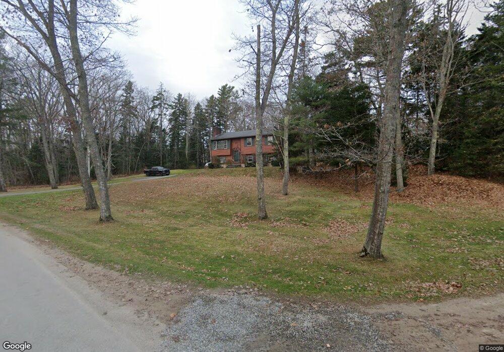
20 Pine Ledge Rd Harpswell, ME 04079
Harpswell Neck NeighborhoodEstimated Value: $532,328 - $929,000
3
Beds
2
Baths
1,568
Sq Ft
$411/Sq Ft
Est. Value
About This Home
This home is located at 20 Pine Ledge Rd, Harpswell, ME 04079 and is currently estimated at $644,082, approximately $410 per square foot. 20 Pine Ledge Rd is a home with nearby schools including Mt Ararat High School.
Ownership History
Date
Name
Owned For
Owner Type
Purchase Details
Closed on
Aug 31, 2015
Sold by
Kenney Terence F and Kenney Julie A
Bought by
Walker Nicole and Walker Seth
Current Estimated Value
Home Financials for this Owner
Home Financials are based on the most recent Mortgage that was taken out on this home.
Original Mortgage
$172,066
Outstanding Balance
$135,971
Interest Rate
4.09%
Mortgage Type
Purchase Money Mortgage
Estimated Equity
$508,111
Create a Home Valuation Report for This Property
The Home Valuation Report is an in-depth analysis detailing your home's value as well as a comparison with similar homes in the area
Home Values in the Area
Average Home Value in this Area
Purchase History
| Date | Buyer | Sale Price | Title Company |
|---|---|---|---|
| Walker Nicole | -- | -- |
Source: Public Records
Mortgage History
| Date | Status | Borrower | Loan Amount |
|---|---|---|---|
| Open | Walker Nicole | $172,066 |
Source: Public Records
Tax History
| Year | Tax Paid | Tax Assessment Tax Assessment Total Assessment is a certain percentage of the fair market value that is determined by local assessors to be the total taxable value of land and additions on the property. | Land | Improvement |
|---|---|---|---|---|
| 2024 | $1,786 | $280,800 | $76,700 | $204,100 |
| 2023 | $1,713 | $280,800 | $76,700 | $204,100 |
| 2022 | $1,618 | $274,300 | $76,700 | $197,600 |
| 2021 | $1,424 | $210,700 | $57,100 | $153,600 |
| 2020 | $2,428 | $210,700 | $57,100 | $153,600 |
| 2019 | $4,027 | $210,700 | $57,100 | $153,600 |
| 2018 | $1,365 | $210,700 | $57,100 | $153,600 |
| 2017 | $1,361 | $210,700 | $57,100 | $153,600 |
| 2016 | $1,348 | $210,700 | $57,100 | $153,600 |
| 2015 | $1,315 | $210,700 | $57,100 | $153,600 |
| 2013 | $1,218 | $210,700 | $57,100 | $153,600 |
Source: Public Records
Map
Nearby Homes
- 30 Driftwood Tide Ln
- 242 Long Reach Ln
- Map 80 Lot 18-0 White Island
- 21 Spring Hill Rd
- 7 Shearwater Way
- lot C Long Point Rd
- Lot 2B Allen Point Rd
- 46 Blackstone Club Rd
- 0 Gundalo Gap Rd Unit 1638108
- 0 Bayview Rd Unit 2 1632776
- 646 Gurnet Rd
- 29 & 30 Nob Hill Ave
- 83 Central Ave
- 1 Mallard Pond Rd
- 250 Mere Point Rd
- 291 Maquoit Rd
- 6 Chebeague Ln
- 260 Coombs Rd
- 87 Lowells Cove Rd
- 138 Coombs Rd
- 28 Pine Ledge Rd
- 77 Hildreth Rd
- 30 Pine Ledge Rd
- 65 Hildreth Rd
- 17 Pine Ledge Rd
- 69 Hildreth Rd
- Lot 73 Hildreth Rd
- 101 Hildreth Rd
- 59 Hildreth Rd
- 80 Hildreth Rd
- 4 Hildreth Rd
- Lot 73-TBD Hildreth Rd
- 3 Ledge Haven Place
- 90 Hildreth Rd
- 94 Hildreth Rd
- 53 Hildreth Rd
- 7 Ledge Haven Place
- 108 Hildreth Rd
- 111 Hildreth Rd
- 58 Hildreth Rd
Your Personal Tour Guide
Ask me questions while you tour the home.