20 Pulpit Ln Edgartown, MA 02539
Edgartown NeighborhoodEstimated Value: $1,940,000 - $2,200,000
3
Beds
2
Baths
2,013
Sq Ft
$1,033/Sq Ft
Est. Value
About This Home
This home is located at 20 Pulpit Ln, Edgartown, MA 02539 and is currently estimated at $2,080,343, approximately $1,033 per square foot. 20 Pulpit Ln is a home located in Dukes County with nearby schools including Edgartown Elementary School and Martha's Vineyard Regional High School.
Ownership History
Date
Name
Owned For
Owner Type
Purchase Details
Closed on
Dec 9, 2019
Sold by
Baletsa Gregory S and Baletsa Debra L
Bought by
Baletsa Steven G and Baletsa David G
Current Estimated Value
Purchase Details
Closed on
Dec 10, 1997
Sold by
Chute Mark J
Bought by
Baletsa Gregory S and Baletsa Debra L
Home Financials for this Owner
Home Financials are based on the most recent Mortgage that was taken out on this home.
Original Mortgage
$150,000
Interest Rate
7.14%
Mortgage Type
Purchase Money Mortgage
Create a Home Valuation Report for This Property
The Home Valuation Report is an in-depth analysis detailing your home's value as well as a comparison with similar homes in the area
Home Values in the Area
Average Home Value in this Area
Purchase History
| Date | Buyer | Sale Price | Title Company |
|---|---|---|---|
| Baletsa Steven G | -- | None Available | |
| Baletsa Steven G | -- | None Available | |
| Baletsa Gregory S | $209,000 | -- | |
| Baletsa Gregory S | $209,000 | -- |
Source: Public Records
Mortgage History
| Date | Status | Borrower | Loan Amount |
|---|---|---|---|
| Previous Owner | Baletsa Gregory S | $150,000 |
Source: Public Records
Tax History
| Year | Tax Paid | Tax Assessment Tax Assessment Total Assessment is a certain percentage of the fair market value that is determined by local assessors to be the total taxable value of land and additions on the property. | Land | Improvement |
|---|---|---|---|---|
| 2025 | $4,667 | $1,761,200 | $888,500 | $872,700 |
| 2024 | $4,189 | $1,642,700 | $888,500 | $754,200 |
| 2023 | $3,761 | $1,492,600 | $740,700 | $751,900 |
| 2022 | $3,539 | $1,168,100 | $695,300 | $472,800 |
| 2021 | $3,420 | $1,042,700 | $604,700 | $438,000 |
| 2020 | $3,415 | $1,019,400 | $604,700 | $414,700 |
| 2019 | $3,360 | $868,200 | $453,500 | $414,700 |
| 2018 | $3,226 | $833,700 | $508,500 | $325,200 |
| 2017 | $2,466 | $694,700 | $439,800 | $254,900 |
| 2016 | $2,211 | $610,900 | $398,600 | $212,300 |
| 2015 | $2,150 | $619,500 | $398,600 | $220,900 |
Source: Public Records
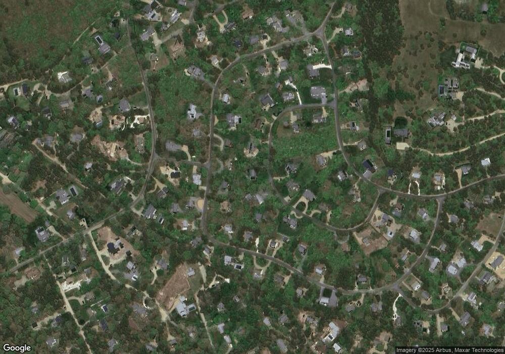
Map
Nearby Homes
- 42 Road To the Plains
- 11A Duarte Cir
- 19 Kitts Field Cir
- 10 Duende Ln
- 8 Court St
- 7 Martha's Way
- 2 Farmers Rd
- 23 Thaxter Ln
- 114 Meeting House Way
- 114 Meeting House Way
- 5 Louis Field Rd Unit 121.3
- 5 Louis Field Rd
- 39 Slough Cove Rd Unit 12.2 (part of)
- 39 Slough Cove Rd
- 43 Peases Point Way S
- 7 Marthas Rd
- 52 S Summer St
- 23 Pinehurst Rd
- 38 Pinehurst Rd
- 10 Peases Point Way N
- 18 Pulpit Ln
- 43 Schoolhouse Rd
- 22 Pulpit Ln
- 39 Schoolhouse Rd
- 19 Pulpit Ln
- 45 Schoolhouse Rd
- 17 Pulpit Ln
- 16 Pulpit Ln
- 37 Schoolhouse Rd
- 24 Pulpit Ln
- 40 Schoolhouse Rd
- 47 Schoolhouse Rd
- 13 Pulpit Ln
- 33 Schoolhouse Rd
- 5 Pulpit Ln
- 14 Pulpit Ln
- 29 Schoolhouse Rd
- 25 Pulpit Ln
- 46 Schoolhouse Rd
- 27 Schoolhouse Rd
Your Personal Tour Guide
Ask me questions while you tour the home.