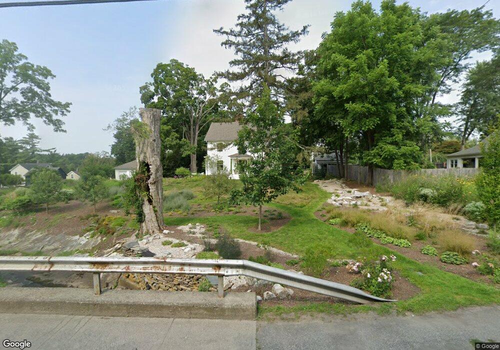
20 S Maple Ave Millerton, NY 12546
North East NeighborhoodEstimated Value: $555,000 - $590,000
4
Beds
3
Baths
3,564
Sq Ft
$161/Sq Ft
Est. Value
About This Home
This home is located at 20 S Maple Ave, Millerton, NY 12546 and is currently estimated at $573,776, approximately $160 per square foot. 20 S Maple Ave is a home located in Dutchess County with nearby schools including Webutuck Elementary School, Eugene Brooks Intermediate School, and Webutuck High School.
Ownership History
Date
Name
Owned For
Owner Type
Purchase Details
Closed on
Jan 29, 2016
Sold by
Clark John
Bought by
Ramos Eliot
Current Estimated Value
Home Financials for this Owner
Home Financials are based on the most recent Mortgage that was taken out on this home.
Original Mortgage
$224,000
Outstanding Balance
$172,858
Interest Rate
3%
Mortgage Type
New Conventional
Estimated Equity
$400,918
Purchase Details
Closed on
Jul 13, 2009
Sold by
Clark James
Bought by
Clark John
Purchase Details
Closed on
Oct 19, 2007
Sold by
Clark John
Bought by
Clark James
Create a Home Valuation Report for This Property
The Home Valuation Report is an in-depth analysis detailing your home's value as well as a comparison with similar homes in the area
Home Values in the Area
Average Home Value in this Area
Purchase History
| Date | Buyer | Sale Price | Title Company |
|---|---|---|---|
| Ramos Eliot | $280,000 | Gary L Murphy | |
| Clark John | -- | Rebecca M Blahut | |
| Clark James | -- | -- | |
| Clark James | -- | -- |
Source: Public Records
Mortgage History
| Date | Status | Borrower | Loan Amount |
|---|---|---|---|
| Open | Ramos Eliot | $224,000 |
Source: Public Records
Tax History
| Year | Tax Paid | Tax Assessment Tax Assessment Total Assessment is a certain percentage of the fair market value that is determined by local assessors to be the total taxable value of land and additions on the property. | Land | Improvement |
|---|---|---|---|---|
| 2024 | $11,713 | $408,700 | $64,700 | $344,000 |
| 2023 | $7,301 | $389,200 | $64,700 | $324,500 |
| 2022 | $7,106 | $360,400 | $59,900 | $300,500 |
| 2021 | $6,874 | $321,800 | $56,000 | $265,800 |
| 2020 | $6,916 | $309,400 | $56,000 | $253,400 |
| 2019 | $6,943 | $321,900 | $107,400 | $214,500 |
| 2018 | $7,372 | $321,900 | $107,400 | $214,500 |
| 2017 | $7,584 | $321,900 | $107,400 | $214,500 |
| 2016 | $8,717 | $380,300 | $107,400 | $272,900 |
| 2015 | -- | $380,300 | $107,400 | $272,900 |
| 2014 | -- | $380,300 | $107,400 | $272,900 |
Source: Public Records
Map
Nearby Homes
- 24 Dutchess Ave
- 5846 S Elm Ave
- 490 Mill St
- 80 Rudd Pond Rd
- 5 Country View Rd
- 41 Beilke Rd
- 22 Beilke Rd
- 0 Mill Rd Unit KEY932153
- 9 Overlook Dr
- 24 Ore Hill Rd
- 77 Belgo Rd
- 0 Ore Hill Rd Unit 24132985
- 151 Lake Ln
- 5627 Route 22
- 106 Indian Mountain Rd
- 0 Smithfield Rd Unit KEY879008
- 0 Smithfield Rd Unit 157012
- 0 Smithfield Rd Unit KEY857365
- 317 Skunks Misery Rd
- A Skunks Misery Rd
Your Personal Tour Guide
Ask me questions while you tour the home.