Estimated Value: $215,000 - $218,303
4
Beds
2
Baths
1,000
Sq Ft
$217/Sq Ft
Est. Value
About This Home
This home is located at 20 Timber Dr, Union, MO 63084 and is currently estimated at $216,768, approximately $216 per square foot. 20 Timber Dr is a home located in Franklin County with nearby schools including Union High School and Immaculate Conception School.
Ownership History
Date
Name
Owned For
Owner Type
Purchase Details
Closed on
Feb 19, 2019
Sold by
Bolte Rentals Llc
Bought by
Pelton Joseph and Pelton Rachel
Current Estimated Value
Home Financials for this Owner
Home Financials are based on the most recent Mortgage that was taken out on this home.
Original Mortgage
$104,000
Outstanding Balance
$91,062
Interest Rate
4.4%
Mortgage Type
VA
Estimated Equity
$125,706
Purchase Details
Closed on
Jan 19, 2010
Sold by
Bolte Dale and Bolte Sandra
Bought by
Bolte Rentals Llc
Purchase Details
Closed on
Dec 1, 2009
Sold by
Federal Home Loan Mortgage Corporation
Bought by
Bolte Dale and Bolte Sandra
Purchase Details
Closed on
Jun 26, 2009
Sold by
Williams Kim and Williams Debra L
Bought by
Federal Home Loan Mortgae Corp
Create a Home Valuation Report for This Property
The Home Valuation Report is an in-depth analysis detailing your home's value as well as a comparison with similar homes in the area
Home Values in the Area
Average Home Value in this Area
Purchase History
| Date | Buyer | Sale Price | Title Company |
|---|---|---|---|
| Pelton Joseph | -- | None Available | |
| Bolte Rentals Llc | -- | None Available | |
| Bolte Dale | -- | Stewart Title | |
| Federal Home Loan Mortgae Corp | $90,068 | None Available |
Source: Public Records
Mortgage History
| Date | Status | Borrower | Loan Amount |
|---|---|---|---|
| Open | Pelton Joseph | $104,000 |
Source: Public Records
Tax History
| Year | Tax Paid | Tax Assessment Tax Assessment Total Assessment is a certain percentage of the fair market value that is determined by local assessors to be the total taxable value of land and additions on the property. | Land | Improvement |
|---|---|---|---|---|
| 2025 | $1,407 | $23,594 | $0 | $0 |
| 2024 | $1,407 | $20,630 | $0 | $0 |
| 2023 | $1,243 | $20,630 | $0 | $0 |
| 2022 | $1,190 | $19,699 | $0 | $0 |
| 2021 | $1,192 | $19,699 | $0 | $0 |
| 2020 | $1,085 | $17,647 | $0 | $0 |
| 2019 | $1,082 | $17,647 | $0 | $0 |
| 2018 | $998 | $17,083 | $0 | $0 |
| 2017 | $1,001 | $17,083 | $0 | $0 |
| 2016 | $1,031 | $17,203 | $0 | $0 |
| 2015 | $1,015 | $17,203 | $0 | $0 |
| 2014 | $986 | $16,705 | $0 | $0 |
Source: Public Records
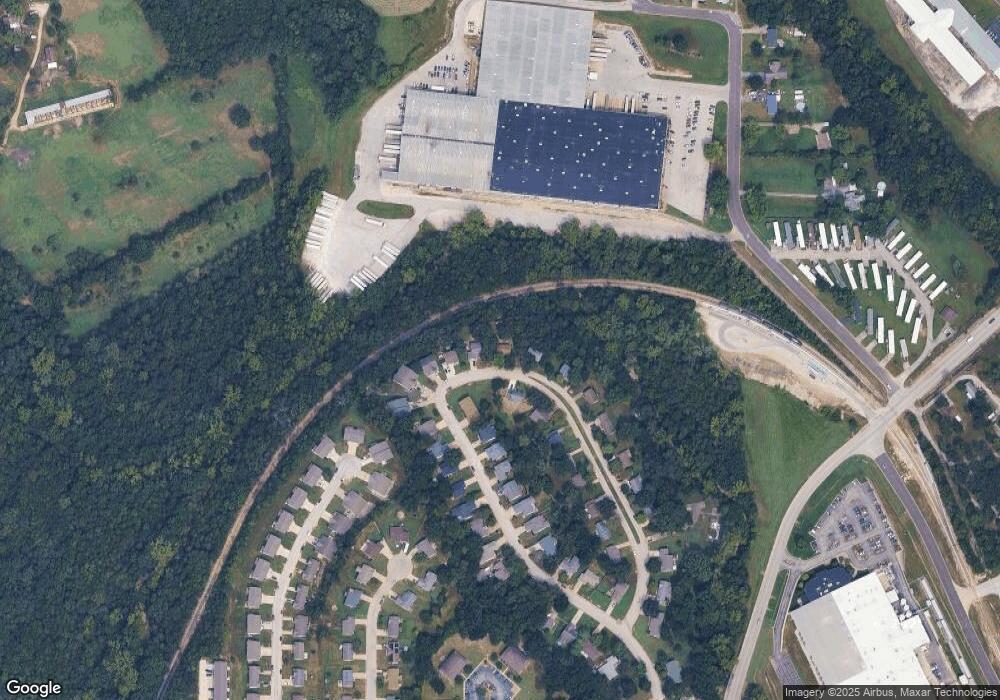
Map
Nearby Homes
- 21 Forest Ln
- 54 Hickory Cir
- 0 Heard Ct
- 406 Emma Ln
- 914 W State St
- 4 Lindner Ln
- 1008 N Washington Ave
- 613 W State St
- 725 W Main St
- 435 Eve Estates Dr
- 413 W State St
- 207 E Park Ave
- 910 N Church St
- 3732 Highway A
- 413 Rosedale Ave
- 408 Hall Ave
- 626 Lindsey Dr
- 0 Lot 5 Clearview Dr Unit 19010510
- 0 Lot 3 Clearview Dr Unit MIS26011988
- 0 Lot 4 Clearview Dr Unit 19010507
Your Personal Tour Guide
Ask me questions while you tour the home.