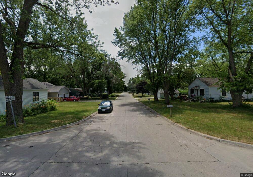
200 3rd St SE Bondurant, IA 50035
Estimated Value: $159,548 - $206,000
2
Beds
1
Bath
1,084
Sq Ft
$164/Sq Ft
Est. Value
About This Home
This home is located at 200 3rd St SE, Bondurant, IA 50035 and is currently estimated at $178,183, approximately $164 per square foot. 200 3rd St SE is a home located in Polk County with nearby schools including Anderson Elementary School, Morris Elementary School, and Bondurant - Farrar Middle School.
Ownership History
Date
Name
Owned For
Owner Type
Purchase Details
Closed on
Apr 29, 2019
Sold by
Ward Paul E and Ward Diana S
Bought by
City Of Bondurant Iowa
Current Estimated Value
Purchase Details
Closed on
Nov 4, 2014
Sold by
Person Gill Gordon and Person Gill Nancy Ann
Bought by
Peel Robert
Purchase Details
Closed on
May 11, 1999
Sold by
Kuehl Jeffrey W and Kuehl Cynthia A
Bought by
Ward Paul E and Ward Diana S
Home Financials for this Owner
Home Financials are based on the most recent Mortgage that was taken out on this home.
Original Mortgage
$38,675
Interest Rate
6.66%
Mortgage Type
Balloon
Create a Home Valuation Report for This Property
The Home Valuation Report is an in-depth analysis detailing your home's value as well as a comparison with similar homes in the area
Home Values in the Area
Average Home Value in this Area
Purchase History
| Date | Buyer | Sale Price | Title Company |
|---|---|---|---|
| City Of Bondurant Iowa | $110,000 | None Available | |
| Peel Robert | $100,000 | None Available | |
| Ward Paul E | $38,500 | -- |
Source: Public Records
Mortgage History
| Date | Status | Borrower | Loan Amount |
|---|---|---|---|
| Previous Owner | Ward Paul E | $38,675 |
Source: Public Records
Tax History Compared to Growth
Tax History
| Year | Tax Paid | Tax Assessment Tax Assessment Total Assessment is a certain percentage of the fair market value that is determined by local assessors to be the total taxable value of land and additions on the property. | Land | Improvement |
|---|---|---|---|---|
| 2025 | -- | -- | -- | -- |
| 2024 | -- | -- | -- | -- |
| 2023 | $0 | $0 | $0 | $0 |
| 2022 | -- | $0 | $0 | $0 |
| 2021 | $1,986 | $0 | $0 | $0 |
| 2020 | $1,986 | $101,800 | $47,500 | $54,300 |
| 2019 | $1,986 | $101,800 | $47,500 | $54,300 |
| 2018 | $1,986 | $88,800 | $41,200 | $47,600 |
| 2017 | $1,778 | $88,800 | $41,200 | $47,600 |
| 2016 | $1,736 | $78,500 | $36,300 | $42,200 |
| 2015 | $1,736 | $78,500 | $36,300 | $42,200 |
| 2014 | $1,654 | $75,600 | $34,900 | $40,700 |
Source: Public Records
Map
Nearby Homes
- 411 2nd St SE
- 800 9th Ct SE
- 509 Fireside Dr NW
- 505 Cleveland Ave SE
- 816 9th Ct SE
- 105 3rd St NE
- 705 Jefferson Ave SE
- 802 Cleveland Ave SE
- 511 11th Ct SE
- 106 4th St NE
- 503 Lincoln St NE
- 00 2nd St NW
- 205 Mallard Pointe Dr NW
- Hamilton Plan at Prairie Point View
- Bellhaven Plan at Prairie Point View
- 420 Eva Point Dr SW
- 713 4th St NW
- 901 Dee St SE
- 901 8th St NW
- 905 8th St NW
- 201 3rd St SE
- 206 Main St SE
- 204 Main St SE
- 300 Lincoln St SE
- 203 2nd St NW
- 200 Lincoln St SE
- 301 Main St SE
- 200 Main St SE
- 108-106 Main St SE
- 300 Main St SE
- 302 Lincoln St SE
- 305 Main St SE
- 113 Main St SE
- 103 3rd St SE
- 111 Main St SE
- 100 3rd St SE
- 207 Lincoln St SE
- 205 Lincoln St SE
- 304 Main St SE
- 203 Grant St S