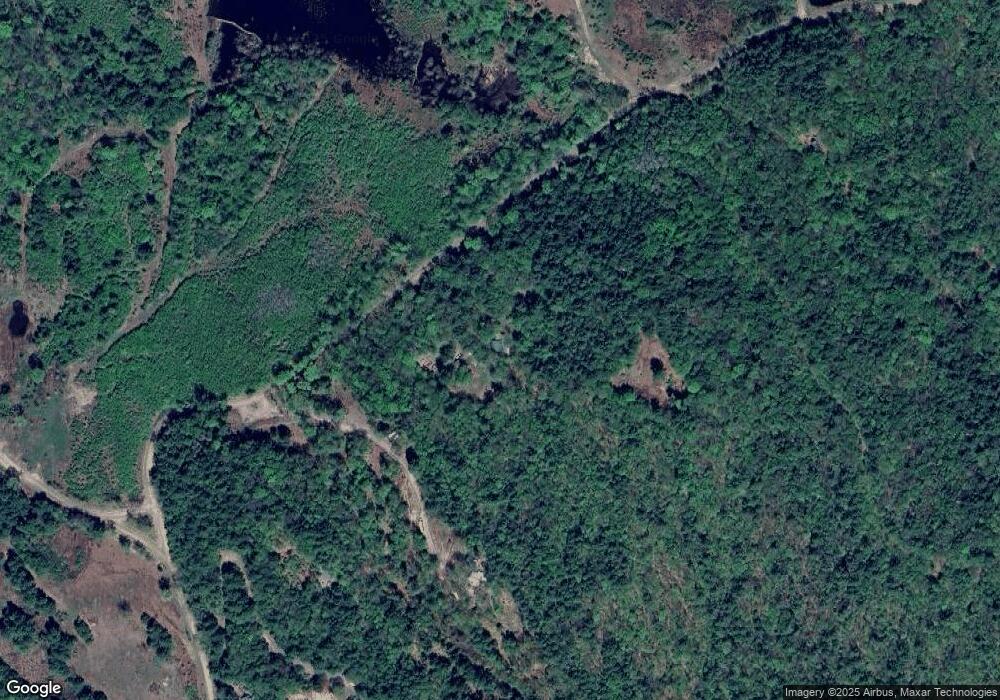
200 Pratt Rd Alstead, NH 03602
Estimated Value: $371,000 - $540,000
2
Beds
2
Baths
2,173
Sq Ft
$206/Sq Ft
Est. Value
About This Home
This home is located at 200 Pratt Rd, Alstead, NH 03602 and is currently estimated at $447,274, approximately $205 per square foot. 200 Pratt Rd is a home located in Cheshire County with nearby schools including Alstead Primary School, Vilas Elementary School, and Fall Mountain Regional High School.
Ownership History
Date
Name
Owned For
Owner Type
Purchase Details
Closed on
May 6, 2025
Sold by
Carter David H and Jones Bronwen L
Bought by
Carter & Jones Ft and Masiello
Current Estimated Value
Purchase Details
Closed on
May 4, 2018
Sold by
Carter David H
Bought by
Carter David H and Jones Bronwen L
Create a Home Valuation Report for This Property
The Home Valuation Report is an in-depth analysis detailing your home's value as well as a comparison with similar homes in the area
Home Values in the Area
Average Home Value in this Area
Purchase History
| Date | Buyer | Sale Price | Title Company |
|---|---|---|---|
| Carter & Jones Ft | -- | None Available | |
| Carter & Jones Ft | -- | None Available | |
| Carter David H | -- | -- | |
| Carter David H | -- | -- |
Source: Public Records
Tax History Compared to Growth
Tax History
| Year | Tax Paid | Tax Assessment Tax Assessment Total Assessment is a certain percentage of the fair market value that is determined by local assessors to be the total taxable value of land and additions on the property. | Land | Improvement |
|---|---|---|---|---|
| 2024 | $6,168 | $228,600 | $120,700 | $107,900 |
| 2023 | $4,045 | $159,046 | $54,746 | $104,300 |
| 2022 | $3,919 | $159,046 | $54,746 | $104,300 |
| 2021 | $3,698 | $159,046 | $54,746 | $104,300 |
| 2020 | $3,883 | $159,029 | $54,729 | $104,300 |
| 2019 | $3,838 | $137,794 | $41,494 | $96,300 |
| 2018 | $0 | $137,953 | $41,653 | $96,300 |
| 2017 | $3,673 | $137,702 | $41,402 | $96,300 |
| 2016 | $0 | $137,570 | $41,270 | $96,300 |
| 2015 | $3,650 | $137,570 | $41,270 | $96,300 |
| 2014 | $3,725 | $156,532 | $48,832 | $107,700 |
| 2013 | $4,195 | $156,532 | $48,832 | $107,700 |
Source: Public Records
Map
Nearby Homes
- 473 Pratt Rd
- 33 Maclean Rd
- 96 Maclean Rd
- 00 Alstead Center Rd
- 55 Sunset Cir
- 363 March Hill Rd
- 00 Cold River Rd Unit 3014.0
- 100 River St
- 33 Dearborn Cir
- 61 North Rd
- 16 Vilas Rd
- 32 Blueberry Hill Ln
- 26 Old North Main St
- 561 Main St
- 27 Shadowland Rd
- 24 Westminster St
- 61 Elm St
- 31 Pleasant St
- 31 Wentworth Rd
- 42 Old Keene Rd
- 176 Pratt Rd
- 130 Pratt Rd
- 106 Pratt Rd
- 23 Burr Way
- 105 Pratt Rd
- 435 Homestead Rd
- 435 Homestead Rd
- 282 Pratt Rd
- 87 Longhouse Way
- 99 Pratt Rd
- 372 Homestead Rd
- 314 Pratt Rd
- 317 Pratt Rd
- 331 Homestead Rd
- 317 Homestead Rd
- 38 Rust Farm Ln
- Map 52 Lot 2C Pratt Rd
- Map 52 Lot 2B Pratt Rd
- Map 52 Lot 2A Pratt Rd
- 320A Pratt Rd
