Estimated Value: $265,000 - $282,871
2
Beds
2
Baths
1,373
Sq Ft
$202/Sq Ft
Est. Value
About This Home
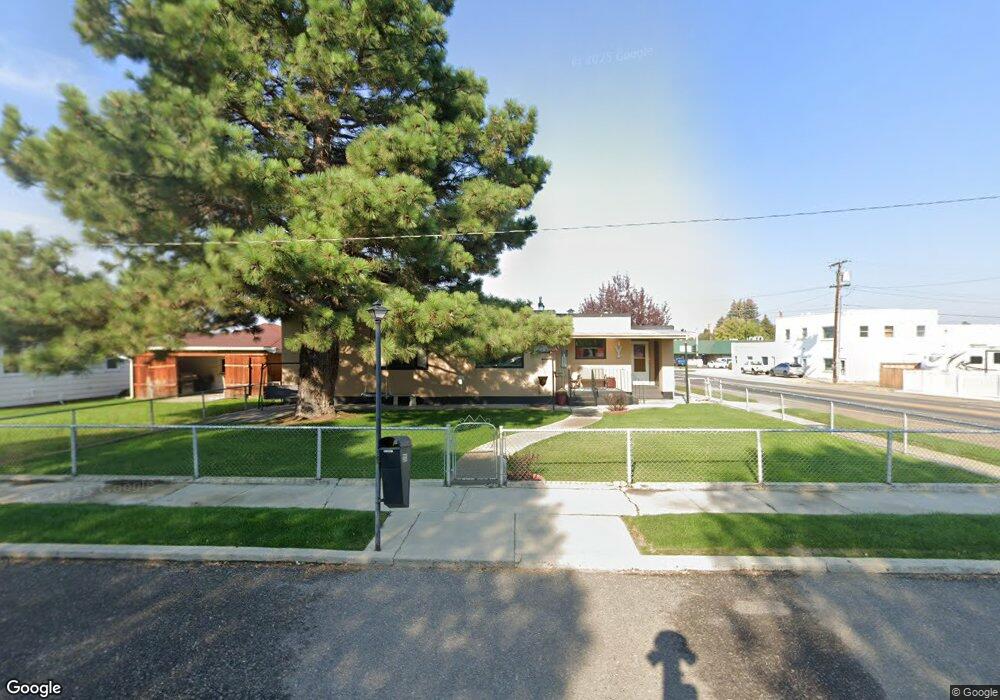
This home is located at 2001 Adams Ave, Butte, MT 59701 and is currently estimated at $277,718, approximately $202 per square foot. 2001 Adams Ave is a home located in Silver Bow County with nearby schools including Whittier School, East Middle School, and Butte High School.
Ownership History
Date
Name
Owned For
Owner Type
Purchase Details
Closed on
Dec 20, 2022
Sold by
Yerkich Peter J
Bought by
Yerkich Peter J
Current Estimated Value
Purchase Details
Closed on
Nov 28, 2018
Sold by
Yerkich Peter J
Bought by
Yerkich Peter J and Yerkich Lisa J
Purchase Details
Closed on
Sep 22, 2007
Sold by
Miller Paul C
Bought by
Yerkich Peter J
Home Financials for this Owner
Home Financials are based on the most recent Mortgage that was taken out on this home.
Original Mortgage
$83,341
Interest Rate
6.57%
Create a Home Valuation Report for This Property
The Home Valuation Report is an in-depth analysis detailing your home's value as well as a comparison with similar homes in the area
Home Values in the Area
Average Home Value in this Area
Purchase History
| Date | Buyer | Sale Price | Title Company |
|---|---|---|---|
| Yerkich Peter J | -- | -- | |
| Yerkich Peter J | -- | None Available | |
| Yerkich Peter J | -- | -- |
Source: Public Records
Mortgage History
| Date | Status | Borrower | Loan Amount |
|---|---|---|---|
| Previous Owner | Yerkich Peter J | $83,341 |
Source: Public Records
Tax History Compared to Growth
Tax History
| Year | Tax Paid | Tax Assessment Tax Assessment Total Assessment is a certain percentage of the fair market value that is determined by local assessors to be the total taxable value of land and additions on the property. | Land | Improvement |
|---|---|---|---|---|
| 2025 | $2,047 | $256,200 | $0 | $0 |
| 2024 | $2,596 | $237,700 | $0 | $0 |
| 2023 | $2,587 | $237,700 | $0 | $0 |
| 2022 | $1,959 | $130,300 | $0 | $0 |
| 2021 | $1,444 | $130,300 | $0 | $0 |
| 2020 | $1,979 | $121,500 | $0 | $0 |
| 2019 | $1,980 | $121,500 | $0 | $0 |
| 2018 | $1,779 | $107,600 | $0 | $0 |
| 2017 | $1,092 | $107,600 | $0 | $0 |
| 2016 | $1,585 | $99,900 | $0 | $0 |
| 2015 | $1,054 | $99,900 | $0 | $0 |
| 2014 | $1,656 | $59,519 | $0 | $0 |
Source: Public Records
Map
Nearby Homes
- 2565 St Ann St
- 2245 South Dr
- 2320 South Dr
- 1906 Sherman Ave
- 1824 Massachusetts Ave
- 2318 Argyle St
- 2263 West Dr
- 2212 Massachusetts Ave
- 2319 Princeton St
- 1851 Massachusetts Ave
- 2000 Florida Ave
- 2007 Florida Ave
- 2030 Argyle St
- 1801 Yale Ave
- 2219 Amherst Ave
- 2526 Locust St
- 1875 Harrison Ave
- 1727 A St
- 1806 C St
- 2400 Silver Bow
- 2013 Adams Ave
- 2341 Cobban St
- 2000 Adams Ave
- 2010 Adams Ave
- 2017 Adams Ave
- 1931 Adams Ave
- 1925 Adams Ave
- 2012 Farragut Ave
- 2020 Adams Ave
- 1934 Adams Ave
- 2026 Adams Ave
- 1921 Adams Ave
- 2001 Thornton Ave
- 1920 Adams Ave
- 2021 Thornton Ave
- 1919 Adams Ave
- 2032 Adams Ave
- 1925 Thornton Ave
- 2309 Cobban St
- 1916 Adams Ave