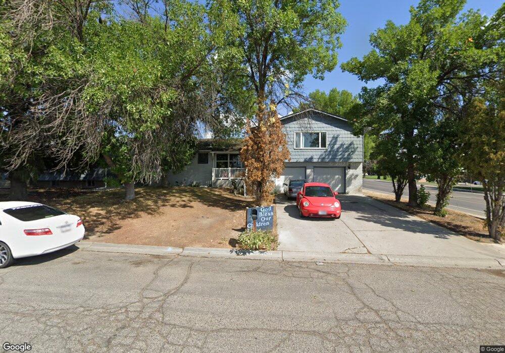
2001 Canyon Dr Billings, MT 59102
West End NeighborhoodEstimated Value: $362,000 - $382,000
5
Beds
3
Baths
2,739
Sq Ft
$136/Sq Ft
Est. Value
About This Home
This home is located at 2001 Canyon Dr, Billings, MT 59102 and is currently estimated at $371,235, approximately $135 per square foot. 2001 Canyon Dr is a home located in Yellowstone County with nearby schools including Miles Avenue School, Will James Junior High School, and Billings West High School.
Ownership History
Date
Name
Owned For
Owner Type
Purchase Details
Closed on
Jul 24, 2024
Sold by
Kuntz Kathleen
Bought by
Bonilla Chrystal
Current Estimated Value
Home Financials for this Owner
Home Financials are based on the most recent Mortgage that was taken out on this home.
Original Mortgage
$324,000
Outstanding Balance
$270,238
Interest Rate
1%
Mortgage Type
Seller Take Back
Estimated Equity
$100,997
Purchase Details
Closed on
Oct 15, 2014
Sold by
Secretary Of Housing Urban Develo
Bought by
Kuntz Kathleen
Purchase Details
Closed on
May 27, 2014
Sold by
Citimortgage Inc
Bought by
The Secretary Of Hud
Purchase Details
Closed on
May 9, 2014
Sold by
Stone Brian W and Stone Susan D
Bought by
Citimortgage
Create a Home Valuation Report for This Property
The Home Valuation Report is an in-depth analysis detailing your home's value as well as a comparison with similar homes in the area
Home Values in the Area
Average Home Value in this Area
Purchase History
| Date | Buyer | Sale Price | Title Company |
|---|---|---|---|
| Bonilla Chrystal | -- | First Montana Title | |
| Kuntz Kathleen | -- | -- | |
| The Secretary Of Hud | -- | None Available | |
| Citimortgage | $134,545 | None Available |
Source: Public Records
Mortgage History
| Date | Status | Borrower | Loan Amount |
|---|---|---|---|
| Open | Bonilla Chrystal | $324,000 |
Source: Public Records
Tax History
| Year | Tax Paid | Tax Assessment Tax Assessment Total Assessment is a certain percentage of the fair market value that is determined by local assessors to be the total taxable value of land and additions on the property. | Land | Improvement |
|---|---|---|---|---|
| 2025 | $3,520 | $389,500 | $55,783 | $333,717 |
| 2024 | $3,520 | $366,300 | $49,941 | $316,359 |
| 2023 | $3,520 | $366,300 | $49,941 | $316,359 |
| 2022 | $2,742 | $247,200 | $0 | $0 |
| 2021 | $2,611 | $247,200 | $0 | $0 |
| 2020 | $2,597 | $234,300 | $0 | $0 |
| 2019 | $2,479 | $234,300 | $0 | $0 |
| 2018 | $2,465 | $229,100 | $0 | $0 |
| 2017 | $2,394 | $229,100 | $0 | $0 |
| 2016 | $2,248 | $217,500 | $0 | $0 |
| 2015 | $2,198 | $217,500 | $0 | $0 |
| 2014 | $2,069 | $108,756 | $0 | $0 |
Source: Public Records
Map
Nearby Homes
- 2 Mcbride St
- 5 Vista Dr
- 16 19th St W
- 98 Cache Dr
- 14 Bonanza Dr
- 10 Prairie View Dr
- 15 Mountain Side Cir
- 1216 Eldorado Dr
- 1204 Eldorado Dr
- 1736 Broadwater Ave
- 1205 Lynn Ave
- 1245 Cook Ave
- 226 Moore Ln
- 370 Delta Cir
- 1132 Saint Johns Ave
- 1925 Yellowstone Ave
- 0 Wyatt Cir Unit 356590
- 1331 Terry Ave
- 1342 Custer Ave
- 2930 Lynn Ave
- 2007 Canyon Dr
- 2015 Canyon Dr
- 2002 George St
- 2008 George St
- 2017 Canyon Dr
- 2020 George St
- 2022 George St
- 2019 Canyon Dr
- 2021 Canyon Dr
- 2028 George St
- 2003 George St
- 2007 George St
- 547 S 20th St W
- 2013 George St
- 2034 George St
- 2021 George St
- 2029 Canyon Dr
- 2027 George St
- 2040 George St
- 2031 George St
Your Personal Tour Guide
Ask me questions while you tour the home.