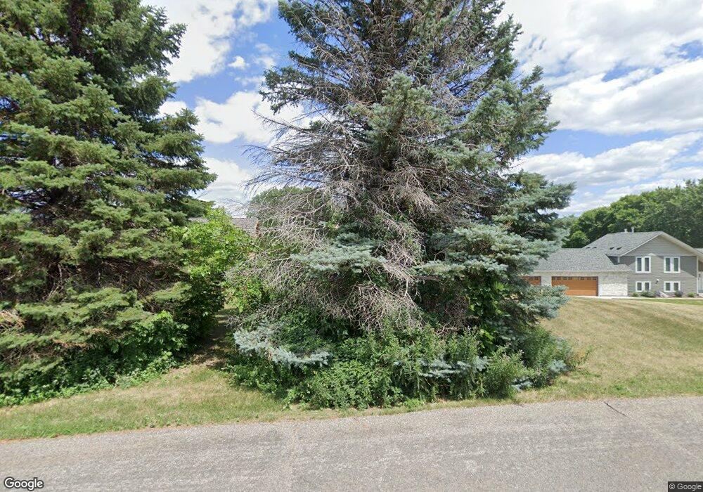
2003 Boulder Point Shakopee, MN 55379
Estimated Value: $303,055 - $321,000
2
Beds
2
Baths
1,577
Sq Ft
$197/Sq Ft
Est. Value
About This Home
This home is located at 2003 Boulder Point, Shakopee, MN 55379 and is currently estimated at $311,014, approximately $197 per square foot. 2003 Boulder Point is a home located in Scott County with nearby schools including Sweeney Elementary School, East Middle School, and Shakopee Senior High School.
Ownership History
Date
Name
Owned For
Owner Type
Purchase Details
Closed on
Dec 24, 2014
Sold by
Roske Dennis A and Roske Karen L
Bought by
Interv Dennis A and Interv Karn L Roske Revocable
Current Estimated Value
Purchase Details
Closed on
Jun 26, 2007
Sold by
Lusigman Keith J
Bought by
Roske Dennis A and Roske Karen L
Purchase Details
Closed on
Jun 13, 2003
Sold by
Winter Bristol Julie A
Bought by
Lusignan Keith J
Purchase Details
Closed on
Apr 28, 2000
Sold by
Bilski John R and Bilski Twyla J
Bought by
Bristol Julie A Winter
Purchase Details
Closed on
Dec 29, 1999
Sold by
Pulte Homes Of Minnesota
Bought by
Bilski John R
Create a Home Valuation Report for This Property
The Home Valuation Report is an in-depth analysis detailing your home's value as well as a comparison with similar homes in the area
Home Values in the Area
Average Home Value in this Area
Purchase History
| Date | Buyer | Sale Price | Title Company |
|---|---|---|---|
| Interv Dennis A | -- | None Available | |
| Roske Dennis A | $209,000 | -- | |
| Lusignan Keith J | $196,000 | -- | |
| Bristol Julie A Winter | $144,000 | -- | |
| Bilski John R | $137,685 | -- |
Source: Public Records
Tax History
| Year | Tax Paid | Tax Assessment Tax Assessment Total Assessment is a certain percentage of the fair market value that is determined by local assessors to be the total taxable value of land and additions on the property. | Land | Improvement |
|---|---|---|---|---|
| 2025 | $2,868 | $312,100 | $114,200 | $197,900 |
| 2024 | $2,948 | $288,700 | $108,700 | $180,000 |
| 2023 | $3,036 | $284,400 | $106,600 | $177,800 |
| 2022 | $2,604 | $288,000 | $109,200 | $178,800 |
| 2021 | $2,290 | $218,600 | $81,200 | $137,400 |
| 2020 | $2,330 | $213,000 | $74,800 | $138,200 |
| 2019 | $2,316 | $193,900 | $47,200 | $146,700 |
| 2018 | $2,194 | $0 | $0 | $0 |
| 2016 | $2,030 | $0 | $0 | $0 |
| 2014 | -- | $0 | $0 | $0 |
Source: Public Records
Map
Nearby Homes
- 2075 13th Ave W
- 1266 Polk St S
- 1279 Taylor St Unit 5
- 1195 Van Buren St S
- 1126 Harrison St S
- 1589 Norbert Ln
- 1664 Lund Way
- 1586 Norbert Ln
- 1649 Lund Way
- 1663 Lund Way
- 1587 Norbert Ln
- 1585 Norbert Ln
- 1584 Norbert Ln
- 1588 Norbert Ln
- 1652 Lund Way
- 1186 Quincy St
- 1016 Van Buren St S
- 1813 6th Ave W
- 1647 Zumbro Ave
- 1412 10th Ave W
- 2007 Boulder Point
- 2011 Boulder Point
- 2055 Boulder Point
- 2000 13th Ave W
- 2059 Boulder Point
- 2004 Boulder Point
- 2008 Boulder Point
- 2042 13th Ave W
- 1993 Boulder Point
- 2012 Boulder Point
- 2044 13th Ave W
- 9100 13th Ave W
- 9100 13th Ave E
- 9081 13th Ave E
- 2063 Boulder Point
- 2046 13th Ave W
- 1989 Boulder Point
- 1301 Polk St S
- 2056 Boulder Point
- 2048 13th Ave W
Your Personal Tour Guide
Ask me questions while you tour the home.