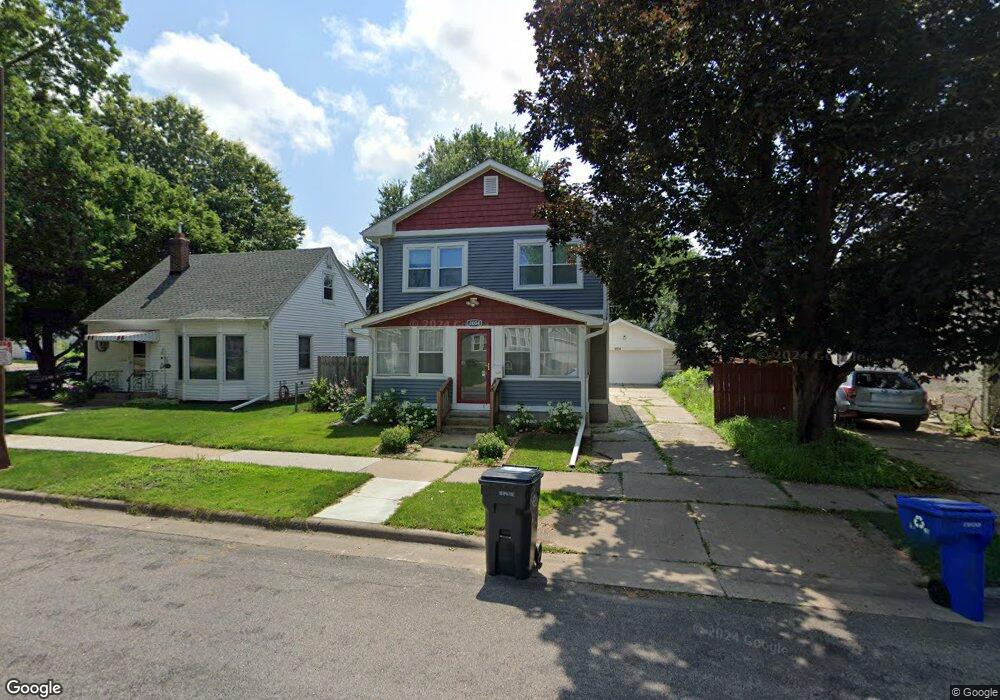
2004 Nokomis Ave Saint Paul, MN 55119
Beaver Lake Heights NeighborhoodEstimated Value: $306,000 - $324,781
3
Beds
3
Baths
1,591
Sq Ft
$197/Sq Ft
Est. Value
About This Home
This home is located at 2004 Nokomis Ave, Saint Paul, MN 55119 and is currently estimated at $314,195, approximately $197 per square foot. 2004 Nokomis Ave is a home located in Ramsey County with nearby schools including Hazel Park Preparatory Academy, Txuj Ci HMong Language and Culture Upper Campus, and Johnson Senior High School.
Ownership History
Date
Name
Owned For
Owner Type
Purchase Details
Closed on
May 31, 2017
Sold by
Cardenas David Chimbo and Pena Delia M
Bought by
Branch Mathew Alan and Vang Mina Nkaujlee
Current Estimated Value
Home Financials for this Owner
Home Financials are based on the most recent Mortgage that was taken out on this home.
Original Mortgage
$216,015
Outstanding Balance
$179,729
Interest Rate
4.03%
Mortgage Type
FHA
Estimated Equity
$134,466
Purchase Details
Closed on
Jun 23, 2015
Bought by
Cardenas David David
Purchase Details
Closed on
Mar 7, 2014
Sold by
Klemenko Timothy M
Bought by
Deutsche Bank National Trust Company
Purchase Details
Closed on
Aug 27, 1998
Sold by
Woodward Christine M and Woodward Aaron T
Bought by
Klemenko Timothy M and Klemenko Denise M
Create a Home Valuation Report for This Property
The Home Valuation Report is an in-depth analysis detailing your home's value as well as a comparison with similar homes in the area
Home Values in the Area
Average Home Value in this Area
Purchase History
| Date | Buyer | Sale Price | Title Company |
|---|---|---|---|
| Branch Mathew Alan | $226,667 | Executive Title | |
| Cardenas David David | $42,100 | -- | |
| Deutsche Bank National Trust Company | $149,155 | None Available | |
| Klemenko Timothy M | $75,000 | -- |
Source: Public Records
Mortgage History
| Date | Status | Borrower | Loan Amount |
|---|---|---|---|
| Open | Branch Mathew Alan | $216,015 |
Source: Public Records
Tax History Compared to Growth
Tax History
| Year | Tax Paid | Tax Assessment Tax Assessment Total Assessment is a certain percentage of the fair market value that is determined by local assessors to be the total taxable value of land and additions on the property. | Land | Improvement |
|---|---|---|---|---|
| 2025 | $4,270 | $328,300 | $30,000 | $298,300 |
| 2023 | $4,270 | $275,800 | $25,000 | $250,800 |
| 2022 | $4,202 | $283,600 | $25,000 | $258,600 |
| 2021 | $3,896 | $253,500 | $25,000 | $228,500 |
| 2020 | $3,834 | $247,100 | $15,100 | $232,000 |
| 2019 | $3,356 | $224,400 | $15,100 | $209,300 |
| 2018 | $1,642 | $209,900 | $15,100 | $194,800 |
| 2017 | $4,934 | $112,400 | $15,100 | $97,300 |
| 2016 | $3,994 | $0 | $0 | $0 |
| 2015 | $1,282 | $102,300 | $15,100 | $87,200 |
| 2014 | $2,498 | $0 | $0 | $0 |
Source: Public Records
Map
Nearby Homes
- 834 Iroquois Ave
- 2002 Nortonia Ave
- 2015 Bush Ave E
- 2054 Nortonia Ave
- 2037 Manitou Ave
- 1950 Case Ave E
- 2160 Nokomis Ave
- 2106 Stillwater Ave E
- 2121 Minnehaha Ave E
- 2161 Ross Ave E
- 2112 Minnehaha Ave E
- 2175 Bush Ave E
- 1803 Bush Ave E
- 2172 Reaney Ave E
- 1824 Sims Ave
- 1784 Sims Ave
- 1766 Ross Ave
- 1764 Bush Ave
- 2220 Reaney Ave E
- 1769 York Ave
- 1990 Nokomis Ave
- 2008 Nokomis Ave
- 1986 Nokomis Ave
- 2005 Nortonia Ave
- 2011 Nortonia Ave
- 2015 Nortonia Ave
- 2015 2015 Nortonia-Avenue-
- 1984 Nokomis Ave
- 2001 Nortonia Ave
- 1999 Nokomis Ave
- 1985 Nokomis Ave
- 2011 Nokomis Ave
- 1978 Nokomis Ave
- 824 Iroquois Ave
- 1993 Nortonia Ave
- 829 Algonquin Ave
- 2006 Nortonia Ave
- 2021 Nortonia Ave
- 1972 Nokomis Ave
- 2010 Nortonia Ave