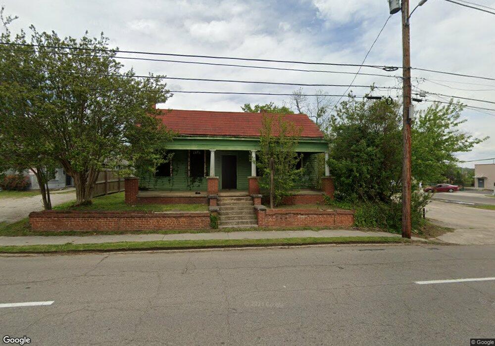
2005 Broad St Augusta, GA 30904
West End NeighborhoodEstimated Value: $38,000 - $100,000
2
Beds
1
Bath
1,395
Sq Ft
$50/Sq Ft
Est. Value
About This Home
This home is located at 2005 Broad St, Augusta, GA 30904 and is currently estimated at $69,291, approximately $49 per square foot. 2005 Broad St is a home located in Richmond County with nearby schools including Lamar Elementary School, W.S. Hornsby Elementary School, and Johnson Magnet.
Ownership History
Date
Name
Owned For
Owner Type
Purchase Details
Closed on
Sep 9, 2014
Sold by
Eidson Tyler L
Bought by
Sharon Baptist Church Of Augus
Current Estimated Value
Purchase Details
Closed on
Oct 9, 2008
Sold by
Eidson Tyler L
Bought by
Eidson Tyler L
Purchase Details
Closed on
Sep 27, 2006
Sold by
Eidson Tyler L
Bought by
Eidson Tyler L
Home Financials for this Owner
Home Financials are based on the most recent Mortgage that was taken out on this home.
Original Mortgage
$7,520
Interest Rate
6.36%
Mortgage Type
Purchase Money Mortgage
Purchase Details
Closed on
May 20, 1998
Sold by
Carroll Dorothy R
Bought by
Eidson Tyler L
Purchase Details
Closed on
Dec 31, 1986
Sold by
Robertson Etta Mae Soper
Bought by
Carroll Dorothy R
Create a Home Valuation Report for This Property
The Home Valuation Report is an in-depth analysis detailing your home's value as well as a comparison with similar homes in the area
Home Values in the Area
Average Home Value in this Area
Purchase History
| Date | Buyer | Sale Price | Title Company |
|---|---|---|---|
| Sharon Baptist Church Of Augus | -- | -- | |
| Eidson Tyler L | $4,325 | None Available | |
| Eidson Tyler L | $7,524 | None Available | |
| Eidson Tyler L | $7,000 | -- | |
| Carroll Dorothy R | -- | -- |
Source: Public Records
Mortgage History
| Date | Status | Borrower | Loan Amount |
|---|---|---|---|
| Previous Owner | Eidson Tyler L | $7,520 |
Source: Public Records
Tax History Compared to Growth
Tax History
| Year | Tax Paid | Tax Assessment Tax Assessment Total Assessment is a certain percentage of the fair market value that is determined by local assessors to be the total taxable value of land and additions on the property. | Land | Improvement |
|---|---|---|---|---|
| 2025 | $372 | $12,506 | $2,352 | $10,154 |
| 2024 | $372 | $12,170 | $2,352 | $9,818 |
| 2023 | $311 | $11,392 | $2,352 | $9,040 |
| 2022 | $249 | $8,158 | $2,352 | $5,806 |
| 2021 | $208 | $6,198 | $2,362 | $3,836 |
| 2020 | $259 | $7,836 | $4,000 | $3,836 |
| 2019 | $277 | $7,836 | $4,000 | $3,836 |
| 2018 | $590 | $7,836 | $4,000 | $3,836 |
| 2017 | $595 | $8,000 | $4,000 | $4,000 |
| 2016 | $595 | $8,000 | $4,000 | $4,000 |
| 2015 | $597 | $8,000 | $4,000 | $4,000 |
| 2014 | $597 | $8,000 | $4,000 | $4,000 |
Source: Public Records
Map
Nearby Homes
- 1918 Division St Unit 3
- 1918 Division St
- 2021 Ellis St
- 2025 Ellis St
- 2048 Edgar St
- 1916 Battle Row
- 2100 Lake Ave
- 608 Eve St
- 1918 Walker St
- 1916 Walker St
- 1836 Greene St
- 1968 Battle Row
- 1827 Hicks St
- 1929 Watkins St
- 605 Eve St
- 1915 Watkins St
- 1858 Walker St
- 1851 Wilhelm Ln
- 542 Hickman Rd
- 1825 Watkins St