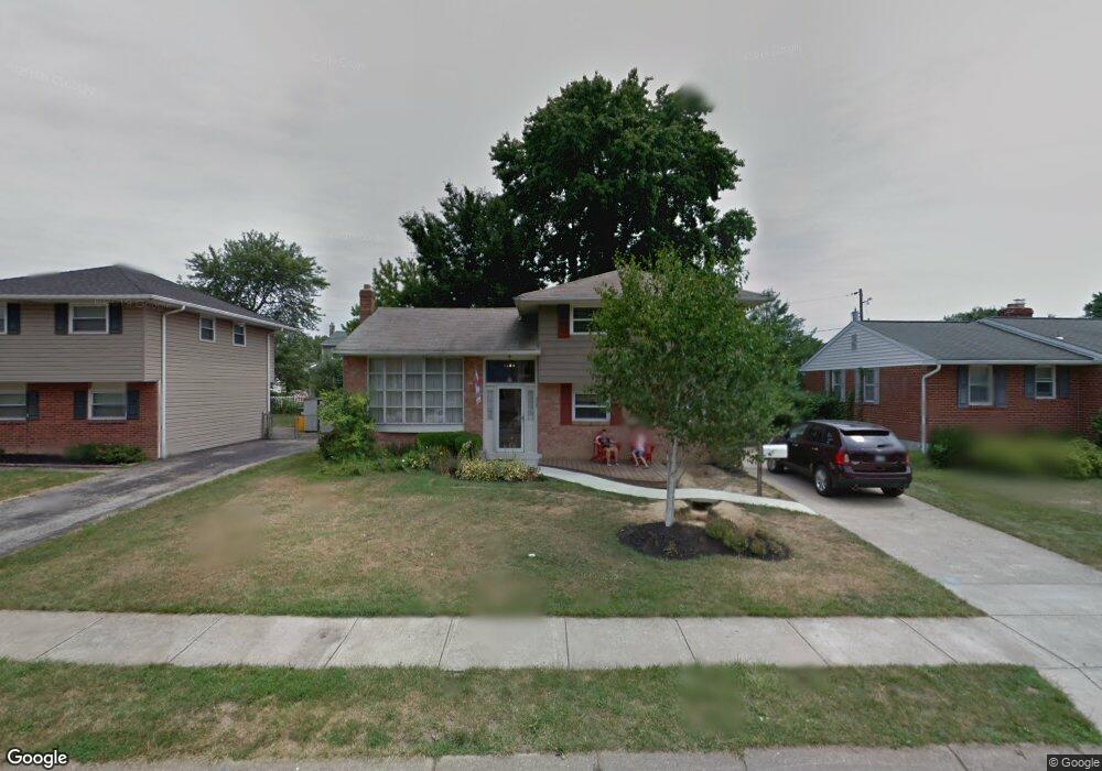
2005 Carol Dr Wilmington, DE 19808
Christiana NeighborhoodEstimated Value: $337,000 - $415,000
4
Beds
2
Baths
943
Sq Ft
$388/Sq Ft
Est. Value
About This Home
This home is located at 2005 Carol Dr, Wilmington, DE 19808 and is currently estimated at $366,246, approximately $388 per square foot. 2005 Carol Dr is a home located in New Castle County with nearby schools including Forest Oak Elementary School, Dickinson (John) High School, and Stanton Middle School.
Ownership History
Date
Name
Owned For
Owner Type
Purchase Details
Closed on
Sep 9, 2022
Sold by
Walsh Claire G and Walsh Robert M
Bought by
Walsh Robert M and Walsh Claire G
Current Estimated Value
Home Financials for this Owner
Home Financials are based on the most recent Mortgage that was taken out on this home.
Original Mortgage
$248,270
Outstanding Balance
$237,136
Interest Rate
5.22%
Mortgage Type
FHA
Estimated Equity
$129,110
Purchase Details
Closed on
Jun 18, 2004
Sold by
Plystak William A and Plystak Arlene C
Bought by
Walsh R Matthew and Veasey Claire G
Home Financials for this Owner
Home Financials are based on the most recent Mortgage that was taken out on this home.
Original Mortgage
$147,704
Interest Rate
6.12%
Mortgage Type
Purchase Money Mortgage
Create a Home Valuation Report for This Property
The Home Valuation Report is an in-depth analysis detailing your home's value as well as a comparison with similar homes in the area
Home Values in the Area
Average Home Value in this Area
Purchase History
| Date | Buyer | Sale Price | Title Company |
|---|---|---|---|
| Walsh Robert M | -- | None Listed On Document | |
| Walsh R Matthew | $184,630 | -- |
Source: Public Records
Mortgage History
| Date | Status | Borrower | Loan Amount |
|---|---|---|---|
| Open | Walsh Robert M | $248,270 | |
| Previous Owner | Walsh R Matthew | $147,704 | |
| Closed | Walsh R Matthew | $36,900 |
Source: Public Records
Tax History Compared to Growth
Tax History
| Year | Tax Paid | Tax Assessment Tax Assessment Total Assessment is a certain percentage of the fair market value that is determined by local assessors to be the total taxable value of land and additions on the property. | Land | Improvement |
|---|---|---|---|---|
| 2024 | $1,870 | $50,600 | $11,100 | $39,500 |
| 2023 | $1,649 | $50,600 | $11,100 | $39,500 |
| 2022 | $1,669 | $50,600 | $11,100 | $39,500 |
| 2021 | $1,669 | $50,600 | $11,100 | $39,500 |
| 2020 | $1,674 | $50,600 | $11,100 | $39,500 |
| 2019 | $2,070 | $50,600 | $11,100 | $39,500 |
| 2018 | $356 | $50,600 | $11,100 | $39,500 |
| 2017 | $1,546 | $50,600 | $11,100 | $39,500 |
| 2016 | $1,546 | $50,600 | $11,100 | $39,500 |
| 2015 | $1,448 | $50,600 | $11,100 | $39,500 |
| 2014 | $1,340 | $50,600 | $11,100 | $39,500 |
Source: Public Records
Map
Nearby Homes
- 2 Marta Dr
- 24 Marta Dr
- 906 8th St
- 2107 Othoson Ave
- 75 Kathy Ln Unit 656
- 74 Kathy Ln Unit A661
- 54 Kathy Ln Unit 671
- 1024 11th Ave
- 928 10th Ave Unit 731
- 134 Meadowood Dr
- 459 5th Ave
- 47 Holly St Unit 37
- 813 9th Ave Unit 483
- 10 Alcott Dr
- 409 5th Ave
- 207 Creekside Dr Unit 167
- 402 Creekside Dr Unit 402
- 128 Ash St Unit 107
- 89 Cedar St
- 51 Holly St