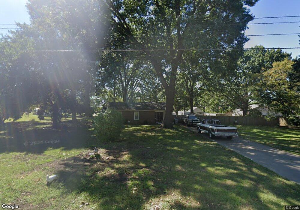
2006 S Osage St Independence, MO 64055
Three Trails NeighborhoodEstimated Value: $210,000 - $260,135
2
Beds
2
Baths
1,425
Sq Ft
$171/Sq Ft
Est. Value
About This Home
This home is located at 2006 S Osage St, Independence, MO 64055 and is currently estimated at $243,784, approximately $171 per square foot. 2006 S Osage St is a home located in Jackson County with nearby schools including John W. Luff Elementary School, Bridger Middle School, and Pioneer Ridge Middle School.
Ownership History
Date
Name
Owned For
Owner Type
Purchase Details
Closed on
Mar 4, 2013
Sold by
Payne Frank D
Bought by
Payne Frank D
Current Estimated Value
Home Financials for this Owner
Home Financials are based on the most recent Mortgage that was taken out on this home.
Original Mortgage
$64,861
Interest Rate
3.44%
Mortgage Type
VA
Create a Home Valuation Report for This Property
The Home Valuation Report is an in-depth analysis detailing your home's value as well as a comparison with similar homes in the area
Home Values in the Area
Average Home Value in this Area
Purchase History
| Date | Buyer | Sale Price | Title Company |
|---|---|---|---|
| Payne Frank D | -- | Continental Title |
Source: Public Records
Mortgage History
| Date | Status | Borrower | Loan Amount |
|---|---|---|---|
| Closed | Payne Frank D | $64,861 |
Source: Public Records
Tax History
| Year | Tax Paid | Tax Assessment Tax Assessment Total Assessment is a certain percentage of the fair market value that is determined by local assessors to be the total taxable value of land and additions on the property. | Land | Improvement |
|---|---|---|---|---|
| 2025 | $2,205 | $32,164 | $7,380 | $24,784 |
| 2024 | $2,155 | $31,829 | $13,678 | $18,151 |
| 2023 | $2,155 | $31,829 | $2,926 | $28,903 |
| 2022 | $1,796 | $24,320 | $4,425 | $19,895 |
| 2021 | $1,796 | $24,320 | $4,425 | $19,895 |
| 2020 | $1,725 | $22,695 | $4,425 | $18,270 |
| 2019 | $1,697 | $22,695 | $4,425 | $18,270 |
| 2018 | $1,547 | $19,752 | $3,851 | $15,901 |
| 2016 | $1,523 | $19,257 | $7,828 | $11,429 |
Source: Public Records
Map
Nearby Homes
- 301 E Partridge Ave Unit K
- 220 E Hansen Ct
- 303 E Partridge Ave Unit 39
- 1400 S Dodgion Ave
- 311 E Hansen Ct Unit 73
- 1815 & 1719 S Osage St
- 1530 S Pearl St
- 12905 E 33rd St S
- 12806 E 33rd St S
- 14600 E 33rd St S
- 700 E Gudgell Ave
- 633 E Leslie Dr
- 1954 S Lake Terrace
- 421 E Angus St
- 12901 E Mccoy St
- 3412 S Emery St
- 1309 S Main St
- 735 E Devon St
- 1339 S Hocker Ave
- 12502 E 33rd St S
- 2007 S Osage St
- 2004 S Osage St
- 2005 S Osage St
- 2009 S Osage St
- 1998 S Osage Street Bedroom 2a
- 2002 S Leslie Dr
- 2011 S Osage St
- 2003 S Osage St
- 2010 S Osage St
- 2005 S Leslie Dr
- 2000 S Leslie Dr
- 1934 S Osage St
- 2001 S Leslie Dr
- 1931 S Osage St
- 1932 S Osage St
- 1948 S Leslie Dr
- 1941 S Leslie Dr
- 1929 S Osage St
- 1946 S Leslie Dr
- 1939 S Leslie Dr
Your Personal Tour Guide
Ask me questions while you tour the home.