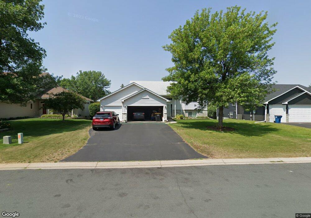
2006 Williams St Shakopee, MN 55379
Estimated Value: $428,000 - $450,000
4
Beds
3
Baths
1,269
Sq Ft
$346/Sq Ft
Est. Value
About This Home
This home is located at 2006 Williams St, Shakopee, MN 55379 and is currently estimated at $439,177, approximately $346 per square foot. 2006 Williams St is a home located in Scott County with nearby schools including Sun Path Elementary School, Shakopee West Middle School, and Shakopee Senior High School.
Ownership History
Date
Name
Owned For
Owner Type
Purchase Details
Closed on
Nov 19, 2001
Sold by
T C Construction Inc
Bought by
Wong Elliot and Wong Marshelia
Current Estimated Value
Purchase Details
Closed on
May 24, 2001
Sold by
Pheasant Run Of Shakopee Ii Inc
Bought by
T C Construction Inc
Create a Home Valuation Report for This Property
The Home Valuation Report is an in-depth analysis detailing your home's value as well as a comparison with similar homes in the area
Home Values in the Area
Average Home Value in this Area
Purchase History
| Date | Buyer | Sale Price | Title Company |
|---|---|---|---|
| Wong Elliot | $228,809 | -- | |
| T C Construction Inc | $61,400 | -- |
Source: Public Records
Tax History Compared to Growth
Tax History
| Year | Tax Paid | Tax Assessment Tax Assessment Total Assessment is a certain percentage of the fair market value that is determined by local assessors to be the total taxable value of land and additions on the property. | Land | Improvement |
|---|---|---|---|---|
| 2025 | $4,148 | $398,100 | $139,600 | $258,500 |
| 2024 | $4,122 | $401,600 | $139,600 | $262,000 |
| 2023 | $4,372 | $386,400 | $134,200 | $252,200 |
| 2022 | $4,012 | $401,500 | $152,500 | $249,000 |
| 2021 | $3,576 | $321,100 | $122,000 | $199,100 |
| 2020 | $3,890 | $313,600 | $117,000 | $196,600 |
| 2019 | $3,982 | $300,600 | $104,000 | $196,600 |
| 2018 | $3,716 | $0 | $0 | $0 |
| 2016 | $3,620 | $0 | $0 | $0 |
| 2014 | -- | $0 | $0 | $0 |
Source: Public Records
Map
Nearby Homes
- 1895 Omega Dr
- 2518 Green Ash Ave
- 2529 Green Ash Ave
- 2052 Wilhelm Ct
- Berkley Plan at Arbor Bluff - Venture Collection
- 2551 Aspen Ct
- Clark Plan at Arbor Bluff - Venture Collection
- 2548 Aspen Ct
- Itasca Plan at Arbor Bluff - Landmark Collection
- Sequoia Plan at Arbor Bluff - Venture Collection
- Markham Plan at Arbor Bluff - Venture Collection
- 2340 Rock Elm Rd
- Lewis Plan at Arbor Bluff - Landmark Collection
- McKinley Plan at Arbor Bluff - Landmark Collection
- 2584 Aspen Ct
- 2606 Green Ash Ave
- Marquette Plan at Arbor Bluff - Venture Collection
- 2689 Aspen Dr
- Sinclair Plan at Arbor Bluff - Landmark Collection
- Burnham Plan at Arbor Bluff - Venture Collection
- 2014 Williams St
- 1998 Williams St
- 2005 Cardinal Dr
- 2013 Cardinal Dr
- 2022 Williams St
- 1997 Cardinal Dr
- 1989 Cardinal Dr
- 2009 Williams St
- 1981 Cardinal Dr
- 2021 Cardinal Dr
- 2017 Williams St
- 2001 Williams St
- 2030 Williams St
- 2025 Williams St
- 2029 Cardinal Dr
- 1993 Williams St
- 2033 Williams St
- 2038 Williams St
- 1985 Williams St
- 2010 Ormond Dr