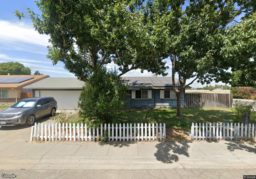
2008 North St Unit 9 Corning, CA 96021
Estimated Value: $221,000 - $357,000
3
Beds
2
Baths
1,280
Sq Ft
$242/Sq Ft
Est. Value
About This Home
This home is located at 2008 North St Unit 9, Corning, CA 96021 and is currently estimated at $310,191, approximately $242 per square foot. 2008 North St Unit 9 is a home located in Tehama County with nearby schools including Woodson Elementary School, Maywood Middle School, and Corning High School.
Ownership History
Date
Name
Owned For
Owner Type
Purchase Details
Closed on
Jan 14, 2021
Sold by
Tubbs Kenneth D
Bought by
Tubbs Shashawna
Current Estimated Value
Purchase Details
Closed on
May 28, 2008
Sold by
Sisneros Matthew G
Bought by
Tubbs Kenneth D
Home Financials for this Owner
Home Financials are based on the most recent Mortgage that was taken out on this home.
Original Mortgage
$171,311
Outstanding Balance
$108,914
Interest Rate
5.87%
Mortgage Type
FHA
Estimated Equity
$201,277
Create a Home Valuation Report for This Property
The Home Valuation Report is an in-depth analysis detailing your home's value as well as a comparison with similar homes in the area
Home Values in the Area
Average Home Value in this Area
Purchase History
| Date | Buyer | Sale Price | Title Company |
|---|---|---|---|
| Tubbs Shashawna | -- | None Available | |
| Tubbs Kenneth D | $174,000 | Northern California Title Co |
Source: Public Records
Mortgage History
| Date | Status | Borrower | Loan Amount |
|---|---|---|---|
| Open | Tubbs Kenneth D | $171,311 |
Source: Public Records
Tax History Compared to Growth
Tax History
| Year | Tax Paid | Tax Assessment Tax Assessment Total Assessment is a certain percentage of the fair market value that is determined by local assessors to be the total taxable value of land and additions on the property. | Land | Improvement |
|---|---|---|---|---|
| 2025 | $2,789 | $270,606 | $54,121 | $216,485 |
| 2023 | $2,737 | $260,100 | $52,020 | $208,080 |
| 2022 | $2,698 | $255,000 | $51,000 | $204,000 |
| 2021 | $2,195 | $211,143 | $72,807 | $138,336 |
| 2020 | $1,951 | $183,786 | $63,374 | $120,412 |
| 2019 | $1,818 | $175,034 | $60,356 | $114,678 |
| 2018 | $1,689 | $159,122 | $54,869 | $104,253 |
| 2017 | $1,556 | $144,656 | $49,881 | $94,775 |
| 2016 | $1,410 | $137,768 | $47,506 | $90,262 |
| 2015 | $1,423 | $137,768 | $47,506 | $90,262 |
| 2014 | $1,241 | $119,799 | $41,310 | $78,489 |
Source: Public Records
Map
Nearby Homes
- 2098 North St
- 342 Rio Vista Ct
- 1980 Colusa St
- 272 Rio Bravo Ct
- 1938 Colusa St
- 330 Houghton Ave
- 1547 Blackburn Ave
- 1701 Yolo St
- 2480 Houghton Ave
- 311 6th St
- 1013 Toomes Ave
- 1419 Yolo St
- 305 5th St
- 2018 Donnovan Ave
- 1414 Marin St
- 818 6th St
- 1495 South St
- 1214 Marin St
- 0 Toomes Ave Unit SN24222817
- 1195 West St