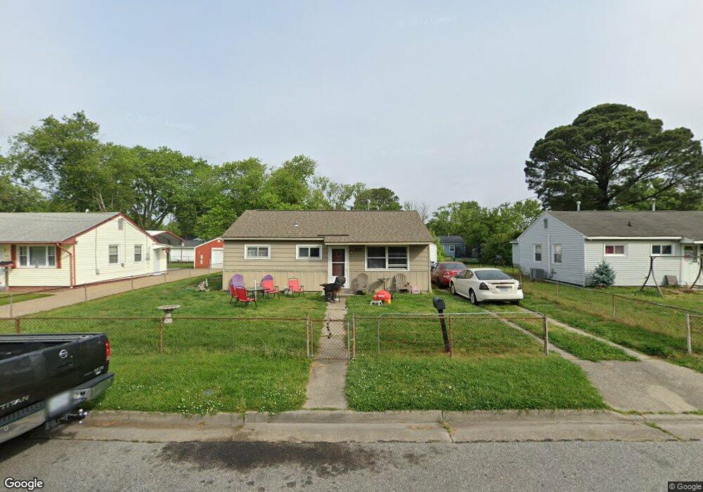
2009 Lansing Dr Hampton, VA 23663
Buckroe Beach NeighborhoodEstimated Value: $158,000 - $206,000
3
Beds
1
Bath
846
Sq Ft
$224/Sq Ft
Est. Value
About This Home
This home is located at 2009 Lansing Dr, Hampton, VA 23663 and is currently estimated at $189,890, approximately $224 per square foot. 2009 Lansing Dr is a home located in Hampton City with nearby schools including Benjamin Syms Middle School, Phoebus High School, and Gloria Dei Lutheran School.
Ownership History
Date
Name
Owned For
Owner Type
Purchase Details
Closed on
Feb 21, 2005
Sold by
Hunter Jonathan
Bought by
Chase Invest L L C
Current Estimated Value
Create a Home Valuation Report for This Property
The Home Valuation Report is an in-depth analysis detailing your home's value as well as a comparison with similar homes in the area
Home Values in the Area
Average Home Value in this Area
Purchase History
| Date | Buyer | Sale Price | Title Company |
|---|---|---|---|
| Chase Invest L L C | $60,000 | -- |
Source: Public Records
Tax History
| Year | Tax Paid | Tax Assessment Tax Assessment Total Assessment is a certain percentage of the fair market value that is determined by local assessors to be the total taxable value of land and additions on the property. | Land | Improvement |
|---|---|---|---|---|
| 2025 | $1,961 | $167,300 | $55,000 | $112,300 |
| 2024 | $1,718 | $149,400 | $55,000 | $94,400 |
| 2023 | $1,550 | $133,600 | $55,000 | $78,600 |
| 2022 | $1,412 | $119,700 | $50,000 | $69,700 |
| 2021 | $1,402 | $102,600 | $42,000 | $60,600 |
| 2020 | $1,187 | $95,700 | $38,300 | $57,400 |
| 2019 | $1,188 | $95,800 | $38,300 | $57,500 |
| 2018 | $1,288 | $96,300 | $38,300 | $58,000 |
| 2017 | $1,288 | $0 | $0 | $0 |
| 2016 | $1,288 | $96,300 | $0 | $0 |
| 2015 | $1,288 | $0 | $0 | $0 |
| 2014 | $1,321 | $96,300 | $38,300 | $58,000 |
Source: Public Records
Map
Nearby Homes
- 1938 Long Green Ln
- 1923 Rawood Dr
- 1915 Long Green Ln
- 1909 Long Green Ln
- 2004 Winfree Rd
- 1904 Nickerson Blvd
- 1527 Grove St
- 2007 Egger Cir
- 1814 Somerville Dr
- 1908 Hurst Dr
- 1841 Kensington Dr
- 604 Old Buckroe Rd
- 1530 Morgan Dr
- 438 Shelton Rd
- 1810 Beall Dr
- 2112 E Pembroke Ave
- 2051 Richard Ave
- 1622 Old Buckroe Rd
- 714 Grove St
- 1445 Oakcrest Dr
- 2007 Lansing Dr
- 2011 Lansing Dr
- 2005 Lansing Dr
- 2013 Lansing Dr
- 2008 Kensington Dr
- 2006 Kensington Dr
- 2010 Kensington Dr
- 2004 Kensington Dr
- 2012 Kensington Dr
- 2003 Lansing Dr
- 2008 Lansing Dr
- 2015 Lansing Dr
- 2010 Lansing Dr
- 2006 Lansing Dr
- 2012 Lansing Dr
- 2004 Lansing Dr
- 2002 Kensington Dr
- 2014 Kensington Dr
- 2014 Lansing Dr
- 2002 Lansing Dr
Your Personal Tour Guide
Ask me questions while you tour the home.