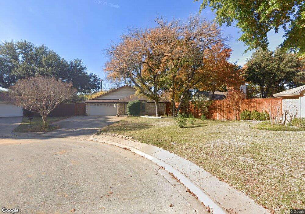
2009 Shadow Ct Grapevine, TX 76051
Estimated Value: $502,000 - $649,000
4
Beds
2
Baths
2,457
Sq Ft
$234/Sq Ft
Est. Value
About This Home
This home is located at 2009 Shadow Ct, Grapevine, TX 76051 and is currently estimated at $575,631, approximately $234 per square foot. 2009 Shadow Ct is a home located in Tarrant County with nearby schools including Cannon Elementary School, Grapevine Middle, and Grapevine High School.
Ownership History
Date
Name
Owned For
Owner Type
Purchase Details
Closed on
Mar 18, 2005
Sold by
Karshis John A
Bought by
Karshis Dawn R
Current Estimated Value
Purchase Details
Closed on
Aug 31, 2001
Sold by
Thomas Irvin G and Thomas Karen S
Bought by
Karshis John A and Karshis Dawn R
Home Financials for this Owner
Home Financials are based on the most recent Mortgage that was taken out on this home.
Original Mortgage
$167,900
Outstanding Balance
$77,025
Interest Rate
9.45%
Estimated Equity
$498,606
Create a Home Valuation Report for This Property
The Home Valuation Report is an in-depth analysis detailing your home's value as well as a comparison with similar homes in the area
Home Values in the Area
Average Home Value in this Area
Purchase History
| Date | Buyer | Sale Price | Title Company |
|---|---|---|---|
| Karshis Dawn R | -- | Transcontinental Title | |
| Karshis John A | -- | Rattikin Title Co |
Source: Public Records
Mortgage History
| Date | Status | Borrower | Loan Amount |
|---|---|---|---|
| Open | Karshis John A | $167,900 |
Source: Public Records
Tax History
| Year | Tax Paid | Tax Assessment Tax Assessment Total Assessment is a certain percentage of the fair market value that is determined by local assessors to be the total taxable value of land and additions on the property. | Land | Improvement |
|---|---|---|---|---|
| 2025 | $1,911 | $508,132 | $90,000 | $418,132 |
| 2024 | $1,911 | $508,132 | $90,000 | $418,132 |
| 2023 | $7,154 | $476,631 | $85,000 | $391,631 |
| 2022 | $7,686 | $418,294 | $50,000 | $368,294 |
| 2021 | $7,669 | $352,694 | $50,000 | $302,694 |
| 2020 | $7,814 | $355,259 | $50,000 | $305,259 |
| 2019 | $7,973 | $373,196 | $50,000 | $323,196 |
| 2018 | $1,890 | $317,850 | $50,000 | $267,850 |
| 2017 | $6,726 | $303,645 | $50,000 | $253,645 |
| 2016 | $6,114 | $276,005 | $50,000 | $226,005 |
| 2015 | $4,669 | $243,350 | $35,000 | $208,350 |
| 2014 | $4,669 | $218,500 | $25,000 | $193,500 |
Source: Public Records
Map
Nearby Homes
- 2013 Heatherbrook Dr
- 2136 Pritchard Dr
- 2221 Churchill Loop
- 2081 Holt Way
- 1313 Tillery Ct
- 2093 Holt Way
- 305 Bluebonnet Dr
- 2410 Bowie Ln
- 1707 Overlook Dr
- 1453 Hampton Rd
- 1068 Rosewood Dr
- 1428 Hampton Rd
- 941 Meadowbend Loop S
- 1093 Woodbriar Dr
- 6007 Laurel Ln
- 6011 Laurel Ln
- 2156 Sandell Dr
- 1206 Hillwood Way
- 1226 Eaton Ln
- 2869 Rainforest Ct
- 2010 Candle Ct
- 2012 Shadow Ct
- 2005 Shadow Ct
- 2006 Candle Ct
- 2020 Parkside Ct
- 2022 Parkside Ct
- 2012 Candle Ct
- 2010 Shadow Ct
- 2006 Shadow Ct
- 2024 Parkside Ct
- 308 Brookside Dr
- 302 Brookside Dr
- 2026 Parkside Ct
- 2009 Candle Ct
- 314 Brookside Dr
- 2005 Candle Ct
- 2011 Willow Ct
- 2019 Parkside Ct
- 2005 Willow Ct
- 214 Brookside Dr
Your Personal Tour Guide
Ask me questions while you tour the home.