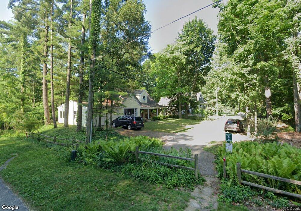
201 Forrest Ave Sawyer, MI 49125
Shorewood-Tower Hills-Harbert NeighborhoodEstimated Value: $703,000 - $905,000
3
Beds
1
Bath
1,718
Sq Ft
$447/Sq Ft
Est. Value
About This Home
This home is located at 201 Forrest Ave, Sawyer, MI 49125 and is currently estimated at $768,266, approximately $447 per square foot. 201 Forrest Ave is a home located in Berrien County with nearby schools including Chikaming Elementary School, Three Oaks Elementary School, and River Valley Middle/High School.
Ownership History
Date
Name
Owned For
Owner Type
Purchase Details
Closed on
Jan 26, 2022
Sold by
Barn Yard Living Trust
Bought by
Cunningham Karen and Stroebel Doris
Current Estimated Value
Purchase Details
Closed on
Apr 25, 2016
Sold by
Short Diane J
Bought by
Barn Yard Living Trust
Purchase Details
Closed on
Dec 23, 2011
Sold by
Erikson Bert P and Estate Of Violet J Erikson
Bought by
Cunningham Karen I and Short Diane J
Create a Home Valuation Report for This Property
The Home Valuation Report is an in-depth analysis detailing your home's value as well as a comparison with similar homes in the area
Home Values in the Area
Average Home Value in this Area
Purchase History
| Date | Buyer | Sale Price | Title Company |
|---|---|---|---|
| Cunningham Karen | $215,000 | Courtney Es Fisk Kreis Enderle | |
| Barn Yard Living Trust | -- | Attorney | |
| Cunningham Karen I | -- | None Available |
Source: Public Records
Tax History Compared to Growth
Tax History
| Year | Tax Paid | Tax Assessment Tax Assessment Total Assessment is a certain percentage of the fair market value that is determined by local assessors to be the total taxable value of land and additions on the property. | Land | Improvement |
|---|---|---|---|---|
| 2025 | $5,543 | $298,800 | $0 | $0 |
| 2024 | $4,786 | $288,500 | $0 | $0 |
| 2023 | $4,558 | $212,700 | $0 | $0 |
| 2022 | $4,341 | $197,800 | $0 | $0 |
| 2021 | $4,748 | $197,200 | $129,700 | $67,500 |
| 2020 | $4,690 | $177,700 | $0 | $0 |
| 2019 | $4,514 | $193,700 | $102,700 | $91,000 |
| 2018 | $4,400 | $193,700 | $0 | $0 |
| 2017 | $4,319 | $226,800 | $0 | $0 |
| 2016 | $4,118 | $177,500 | $0 | $0 |
| 2015 | $4,101 | $175,000 | $0 | $0 |
| 2014 | $3,650 | $185,200 | $0 | $0 |
Source: Public Records
Map
Nearby Homes
- 6490 E Chikaming
- 12370 Dunes Rd
- 6265 Elm Dr
- 0 Tower Hill Dr
- 12980 Crestview Dr
- 6454 Sweetbriar Ct
- 6440 Sweetbriar Ct
- 13025 Red Arrow Hwy
- 12435 Sandpiper Ln
- 13176 Red Arrow Hwy
- 5831 Browntown Rd
- 12856 Flynn Rd
- ABC Greenbush Ct
- ABC Greenbush Rd
- 5650 Lily Ln
- VL # 1 + 3 S Dune Rd
- VL # 2 S Dune Rd
- VL # 2 + 4 S Dune Rd
- VL # 1 S Dune Rd
- 5407 Browntown Rd
- 203 Forrest Ave
- 6530 W Lake Ln
- 205 Forrest Ave
- 302 Orchard Blvd
- 6482 Lake Ln
- 6460 E Lake Ln
- 304 Orchard Blvd
- 206 Forrest Ave
- 207 Forrest Ave
- 6460 Lake Ln
- 1 Tower Hill Rd Unit 51
- 1 Tower Hill Rd
- 208 Forrest Ave
- 231 Ridge Ave
- 12547 Tower Hill Rd
- 6519 Ravenswood
- 6444 E Lake Ln
- 235 Ridge Ave
- 305 Orchard Blvd
- 6539 Ravenswood