201 Knight Ln Conway, NH 03818
Estimated Value: $367,000 - $478,000
3
Beds
2
Baths
1,400
Sq Ft
$311/Sq Ft
Est. Value
About This Home
This home is located at 201 Knight Ln, Conway, NH 03818 and is currently estimated at $436,045, approximately $311 per square foot. 201 Knight Ln is a home with nearby schools including A. Crosby Kennett Middle School, Kennett High School, and Robert Frost Charter School.
Ownership History
Date
Name
Owned For
Owner Type
Purchase Details
Closed on
Sep 28, 2020
Sold by
Knight Roy A and White Barbara
Bought by
Plante Timothy E and Emery Kristil
Current Estimated Value
Home Financials for this Owner
Home Financials are based on the most recent Mortgage that was taken out on this home.
Original Mortgage
$151,515
Outstanding Balance
$134,765
Interest Rate
2.9%
Mortgage Type
New Conventional
Estimated Equity
$301,280
Create a Home Valuation Report for This Property
The Home Valuation Report is an in-depth analysis detailing your home's value as well as a comparison with similar homes in the area
Home Values in the Area
Average Home Value in this Area
Purchase History
| Date | Buyer | Sale Price | Title Company |
|---|---|---|---|
| Plante Timothy E | $150,000 | None Available |
Source: Public Records
Mortgage History
| Date | Status | Borrower | Loan Amount |
|---|---|---|---|
| Open | Plante Timothy E | $151,515 |
Source: Public Records
Tax History Compared to Growth
Tax History
| Year | Tax Paid | Tax Assessment Tax Assessment Total Assessment is a certain percentage of the fair market value that is determined by local assessors to be the total taxable value of land and additions on the property. | Land | Improvement |
|---|---|---|---|---|
| 2024 | $4,983 | $411,800 | $70,900 | $340,900 |
| 2023 | $4,551 | $417,100 | $70,900 | $346,200 |
| 2022 | $4,047 | $224,100 | $69,900 | $154,200 |
| 2021 | $3,662 | $224,100 | $69,900 | $154,200 |
| 2020 | $3,886 | $224,100 | $69,900 | $154,200 |
| 2019 | $3,881 | $224,100 | $69,900 | $154,200 |
| 2018 | $3,969 | $190,200 | $59,900 | $130,300 |
| 2017 | $3,800 | $190,200 | $59,900 | $130,300 |
| 2016 | $3,673 | $190,200 | $59,900 | $130,300 |
| 2015 | $3,631 | $190,200 | $59,900 | $130,300 |
| 2014 | $3,587 | $190,200 | $59,900 | $130,300 |
| 2013 | $3,508 | $196,400 | $59,900 | $136,500 |
Source: Public Records
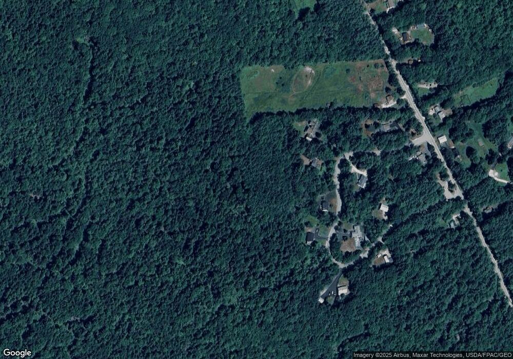
Map
Nearby Homes
- 48 Maple Manor Rd
- 108 Maple Manor Rd
- 592 Eaton Rd
- 1111 Stark Rd
- 66 Woodland Grove
- 237 Eaton Rd
- 18 Woodland Grove Rd
- 369 Tasker Hill Rd
- 101 Odell Hill Rd
- 196 E Main St Unit 5 (old 103)
- 149 Allard Hill Rd
- 58 Wilder St
- 00 Stritch Rd Unit 58
- 00 Tamarack Overlook
- 20 Washington St
- 258 Odell Hill Rd
- 6 Main St
- 86 I St
- 9 E Side Rd
- 0 W Side Rd Unit 54 5049810
- 202 Knight Ln
- 76 Maple Manor Rd
- 92 Maple Manor Rd
- 63 Maple Manor Rd
- 127 Maple Manor Rd
- 147 Maple Manor Rd
- 14 Maple Manor Rd
- 134 Maple Manor Rd
- 692 Stark Rd
- 5 Maple Manor Rd
- 150 Maple Manor Rd
- 615 Stark Rd
- 195 Maple Manor Rd
- 729 Stark Rd
- 1566 Stark Rd
- 709 Stark Rd
- 768 Stark Rd
- 677 Stark Rd
- 691 Stark Rd
- 643 Stark Rd