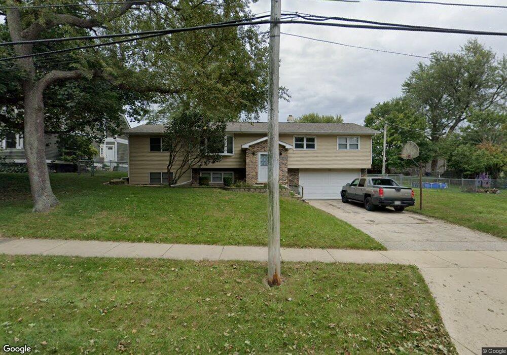
201 S River Rd Algonquin, IL 60102
Estimated Value: $339,785 - $402,000
Studio
1
Bath
1,724
Sq Ft
$219/Sq Ft
Est. Value
About This Home
This home is located at 201 S River Rd, Algonquin, IL 60102 and is currently estimated at $376,946, approximately $218 per square foot. 201 S River Rd is a home located in McHenry County with nearby schools including Eastview Elementary School, Algonquin Middle School, and Dundee-Crown High School.
Ownership History
Date
Name
Owned For
Owner Type
Purchase Details
Closed on
Jul 17, 2012
Sold by
Sullivan Roxanne
Bought by
Sullivan Michael P
Current Estimated Value
Home Financials for this Owner
Home Financials are based on the most recent Mortgage that was taken out on this home.
Original Mortgage
$160,000
Interest Rate
3.6%
Mortgage Type
New Conventional
Purchase Details
Closed on
May 28, 2005
Sold by
Sullivan Michael P and Sullivan Roxanne
Bought by
Sullivan Michael P and Sullivan Roxanne
Create a Home Valuation Report for This Property
The Home Valuation Report is an in-depth analysis detailing your home's value as well as a comparison with similar homes in the area
Purchase History
| Date | Buyer | Sale Price | Title Company |
|---|---|---|---|
| Sullivan Michael P | -- | Fatic | |
| Sullivan Michael P | -- | Burnet Title Llc |
Source: Public Records
Mortgage History
| Date | Status | Borrower | Loan Amount |
|---|---|---|---|
| Closed | Sullivan Michael P | $160,000 |
Source: Public Records
Tax History
| Year | Tax Paid | Tax Assessment Tax Assessment Total Assessment is a certain percentage of the fair market value that is determined by local assessors to be the total taxable value of land and additions on the property. | Land | Improvement |
|---|---|---|---|---|
| 2024 | $8,089 | $111,407 | $11,429 | $99,978 |
| 2023 | $7,671 | $99,640 | $10,222 | $89,418 |
| 2022 | $7,701 | $95,803 | $18,262 | $77,541 |
| 2021 | $7,387 | $89,252 | $17,013 | $72,239 |
| 2020 | $7,192 | $86,093 | $16,411 | $69,682 |
| 2019 | $7,015 | $82,401 | $15,707 | $66,694 |
| 2018 | $6,684 | $76,121 | $14,510 | $61,611 |
| 2017 | $6,543 | $71,710 | $13,669 | $58,041 |
| 2016 | $6,442 | $67,257 | $12,820 | $54,437 |
| 2013 | -- | $62,062 | $11,960 | $50,102 |
Source: Public Records
Map
Nearby Homes
- 0 River Dr N Unit MRD12473279
- 407 La Fox River Dr
- 600 E Algonquin Rd
- 21 Division St
- 719 Webster St
- 953 Old Oak Cir
- 1188 E Algonquin Rd
- 720 Ash St
- 1200 Hillside View
- 615 Harper Dr
- Lot #3-5 Hayes Rd
- 730 Chestnut Ct
- 1031 Timberwood Ln
- 0 Natoma Trail
- lot 25 Wabican Trail
- Lot 4 b Ryan Pkwy
- 1770 E Algonquin Rd
- 1625 Powder Horn Dr
- 1730 Tanglewood Dr
- 1420 Greenridge Ave
- 115 S River Rd
- 213 S River Rd
- 140 S Hubbard St
- 204 S Hubbard St
- 116 S Hubbard St
- 109 S River Rd
- 214 S Hubbard St
- 120 S Hubbard St
- 103 S River Rd
- 101 Ridge St
- 302 S Hubbard St
- 209 S Hubbard St
- 309 S River Rd
- 200 Ridge St
- 2 S River Rd
- 308 S Hubbard St
- 300 S River Rd
- 20 S Hubbard St
- 108 Jackson St
- 317 S River Rd
Your Personal Tour Guide
Ask me questions while you tour the home.