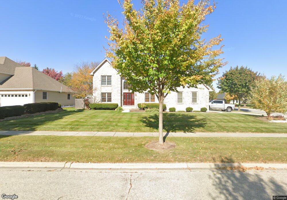
2010 Carlisle St Algonquin, IL 60102
Estimated Value: $445,000 - $527,000
4
Beds
4
Baths
2,900
Sq Ft
$170/Sq Ft
Est. Value
About This Home
This home is located at 2010 Carlisle St, Algonquin, IL 60102 and is currently estimated at $492,300, approximately $169 per square foot. 2010 Carlisle St is a home located in McHenry County with nearby schools including Westfield Community School, Kenneth E Neubert Elementary School, and Harry D Jacobs High School.
Ownership History
Date
Name
Owned For
Owner Type
Purchase Details
Closed on
Feb 13, 2018
Sold by
Agular Raul and Agular Patricia
Bought by
Agular Raul and Agular Patricia R
Current Estimated Value
Purchase Details
Closed on
Jan 31, 1996
Sold by
Goldschmidt Robert L and Goldschmidt Traci A
Bought by
Aguilar Raul and Aguilar Patricia
Home Financials for this Owner
Home Financials are based on the most recent Mortgage that was taken out on this home.
Original Mortgage
$212,000
Outstanding Balance
$6,930
Interest Rate
7%
Estimated Equity
$485,370
Create a Home Valuation Report for This Property
The Home Valuation Report is an in-depth analysis detailing your home's value as well as a comparison with similar homes in the area
Purchase History
| Date | Buyer | Sale Price | Title Company |
|---|---|---|---|
| Agular Raul | -- | None Available | |
| Aguilar Raul | $246,000 | Attorneys Natl Title Network |
Source: Public Records
Mortgage History
| Date | Status | Borrower | Loan Amount |
|---|---|---|---|
| Open | Aguilar Raul | $212,000 |
Source: Public Records
Tax History
| Year | Tax Paid | Tax Assessment Tax Assessment Total Assessment is a certain percentage of the fair market value that is determined by local assessors to be the total taxable value of land and additions on the property. | Land | Improvement |
|---|---|---|---|---|
| 2024 | $11,910 | $168,251 | $35,048 | $133,203 |
| 2023 | $11,257 | $150,479 | $31,346 | $119,133 |
| 2022 | $9,617 | $123,137 | $38,258 | $84,879 |
| 2021 | $9,647 | $114,717 | $35,642 | $79,075 |
| 2020 | $9,397 | $110,656 | $34,380 | $76,276 |
| 2019 | $10,480 | $120,128 | $32,906 | $87,222 |
| 2018 | $10,006 | $110,973 | $30,398 | $80,575 |
| 2017 | $9,813 | $104,544 | $28,637 | $75,907 |
| 2016 | $9,680 | $98,053 | $26,859 | $71,194 |
| 2013 | -- | $80,091 | $25,055 | $55,036 |
Source: Public Records
Map
Nearby Homes
- 2051 Carlisle St
- 18 Peach Tree Ct Unit 4154
- 2054 Peach Tree Ln Unit 4171
- 2069 Peach Tree Ln Unit 4116
- 1157 Sawmill Ln
- 1900 Waverly Ln
- 760 Regal Ln
- 1621 Glengarry Ct Unit 131
- 1002 Interloch Ct Unit 152
- 1820 Crofton Dr
- 2380 Dawson Ln Unit 165
- 681 Majestic Dr
- 1453 Millbrook Dr
- 1181 Glenmont St
- 2612 Loren Ln Unit 293
- 700 Fairfield Ln
- 1030 Glenmont St
- SWC Talaga and Algonquin Rd
- 1221 Glenmont St
- 1920 Jester Ln
- 2030 Carlisle St
- 2011 Tunbridge Trail
- 2050 Carlisle St
- 2021 Tunbridge Trail
- 1385 Stonegate Rd
- 1405 Stonegate Rd
- 2031 Carlisle St
- 2001 Tunbridge Ct
- 2031 Tunbridge Trail
- 2070 Carlisle St
- 2070 Carlisle St
- 2071 Carlisle St
- 2041 Tunbridge Trail
- 1991 Tunbridge Ct
- 2041 Tunbridge Trail
- 2091 Carlisle St
- 1380 Darlington Ct
- 1400 Darlington Ct
- 2090 Carlisle St
- 2090 Carlisle St
Your Personal Tour Guide
Ask me questions while you tour the home.