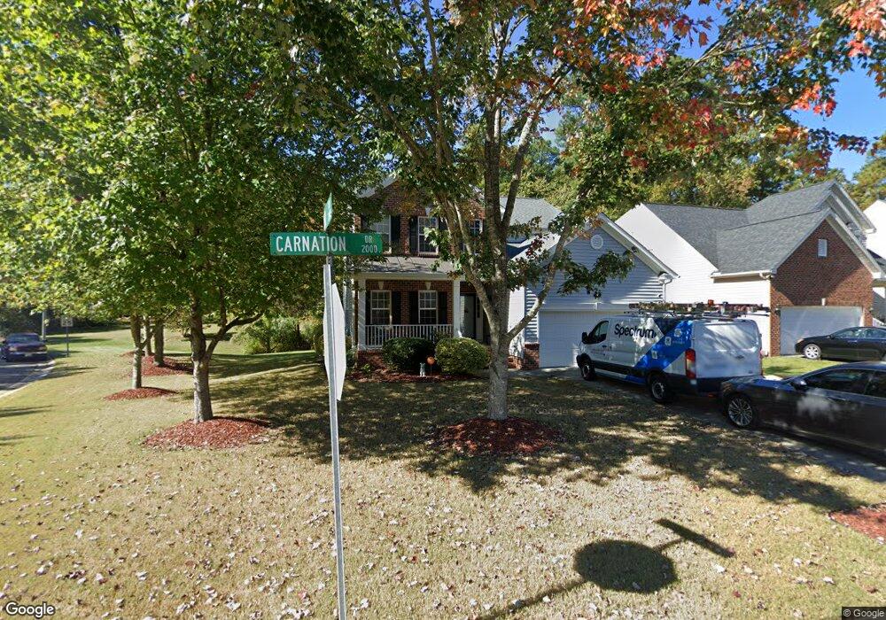
2010 Carnation Dr Durham, NC 27703
South Durham NeighborhoodEstimated Value: $474,000 - $537,000
4
Beds
3
Baths
2,554
Sq Ft
$197/Sq Ft
Est. Value
About This Home
This home is located at 2010 Carnation Dr, Durham, NC 27703 and is currently estimated at $503,318, approximately $197 per square foot. 2010 Carnation Dr is a home located in Durham County with nearby schools including Bethesda Elementary School, John W Neal Middle School, and Southern School of Energy & Sustainability.
Ownership History
Date
Name
Owned For
Owner Type
Purchase Details
Closed on
Apr 19, 2004
Sold by
Centex Homes
Bought by
Andrews Karen Inez
Current Estimated Value
Home Financials for this Owner
Home Financials are based on the most recent Mortgage that was taken out on this home.
Original Mortgage
$164,250
Outstanding Balance
$76,646
Interest Rate
5.54%
Mortgage Type
Purchase Money Mortgage
Estimated Equity
$426,672
Create a Home Valuation Report for This Property
The Home Valuation Report is an in-depth analysis detailing your home's value as well as a comparison with similar homes in the area
Home Values in the Area
Average Home Value in this Area
Purchase History
| Date | Buyer | Sale Price | Title Company |
|---|---|---|---|
| Andrews Karen Inez | $205,500 | -- |
Source: Public Records
Mortgage History
| Date | Status | Borrower | Loan Amount |
|---|---|---|---|
| Open | Andrews Karen Inez | $164,250 |
Source: Public Records
Tax History
| Year | Tax Paid | Tax Assessment Tax Assessment Total Assessment is a certain percentage of the fair market value that is determined by local assessors to be the total taxable value of land and additions on the property. | Land | Improvement |
|---|---|---|---|---|
| 2025 | $5,404 | $545,179 | $137,550 | $407,629 |
| 2024 | $3,971 | $284,670 | $58,950 | $225,720 |
| 2023 | $3,729 | $284,670 | $58,950 | $225,720 |
| 2022 | $3,643 | $284,670 | $58,950 | $225,720 |
| 2021 | $3,626 | $284,670 | $58,950 | $225,720 |
| 2020 | $3,541 | $284,670 | $58,950 | $225,720 |
| 2019 | $3,541 | $284,670 | $58,950 | $225,720 |
| 2018 | $3,683 | $271,517 | $45,850 | $225,667 |
| 2017 | $3,656 | $271,517 | $45,850 | $225,667 |
| 2016 | $3,533 | $271,517 | $45,850 | $225,667 |
| 2015 | $3,991 | $288,271 | $52,933 | $235,338 |
| 2014 | $3,991 | $288,271 | $52,933 | $235,338 |
Source: Public Records
Map
Nearby Homes
- 3309 Forest Grove Ct
- 3503 Long Ridge Rd
- 1016 Hollis Cir
- 1251 Flyfish Ave
- 1222 Flyfish Ave
- 4514 Cottendale Dr
- 2216 Jollay St
- 102 Kingsley Woods Dr
- 5024 Dragonfly Dr
- 111 Lang St
- 909 Wood Chapel Ln
- 1200 Bluewater Way
- 12 Sameer Ct
- 1812 Shiva Ct
- 2214 Tw Alexander Dr
- 334 Westgrove Ct
- 4213 Congleton Place
- 19 Gandhi Dr
- 5226 Malik Dr
- 5216 Dilbagh Dr
- 2008 Carnation Dr
- 2006 Carnation Dr
- 2603 Oleander Dr
- 2516 Oleander Dr
- 2521 Oleander Dr
- 2521 Bonnie Brae Rd
- 2004 Carnation Dr
- 262 Oleander Dr
- 2003 Carnation Dr
- 2514 Oleander Dr
- 2519 Oleander Dr
- 2002 Carnation Dr
- 2610 Oleander Dr
- 2001 Carnation Dr
- 2517 Oleander Dr
- 2512 Oleander Dr
- 1918 Carnation Dr
- 4804 Mistletoe Ln
- 2612 Oleander Dr
- 2525 Bonnie Brae Rd
Your Personal Tour Guide
Ask me questions while you tour the home.