2010 River Rd Delaware, OH 43015
Estimated Value: $489,000 - $717,000
3
Beds
2
Baths
2,282
Sq Ft
$266/Sq Ft
Est. Value
About This Home
This home is located at 2010 River Rd, Delaware, OH 43015 and is currently estimated at $607,317, approximately $266 per square foot. 2010 River Rd is a home located in Delaware County with nearby schools including Buckeye Valley High School.
Ownership History
Date
Name
Owned For
Owner Type
Purchase Details
Closed on
Mar 31, 2005
Sold by
Pierce Joel B and Pierce Leslie A
Bought by
Wood John D and Wood Carla L
Current Estimated Value
Home Financials for this Owner
Home Financials are based on the most recent Mortgage that was taken out on this home.
Original Mortgage
$243,100
Interest Rate
5.71%
Mortgage Type
Fannie Mae Freddie Mac
Purchase Details
Closed on
Mar 6, 2003
Sold by
Koch Roger J
Bought by
Pierce Joel B and Pierce Leslie A
Purchase Details
Closed on
Oct 2, 2001
Sold by
Scioto Farms Ptns
Bought by
Koch Roger J
Create a Home Valuation Report for This Property
The Home Valuation Report is an in-depth analysis detailing your home's value as well as a comparison with similar homes in the area
Home Values in the Area
Average Home Value in this Area
Purchase History
| Date | Buyer | Sale Price | Title Company |
|---|---|---|---|
| Wood John D | $54,000 | Title First Agency Inc | |
| Pierce Joel B | $49,900 | -- | |
| Koch Roger J | $80,000 | -- |
Source: Public Records
Mortgage History
| Date | Status | Borrower | Loan Amount |
|---|---|---|---|
| Previous Owner | Wood John D | $243,100 |
Source: Public Records
Tax History
| Year | Tax Paid | Tax Assessment Tax Assessment Total Assessment is a certain percentage of the fair market value that is determined by local assessors to be the total taxable value of land and additions on the property. | Land | Improvement |
|---|---|---|---|---|
| 2024 | $6,507 | $176,760 | $40,290 | $136,470 |
| 2023 | $6,505 | $176,760 | $40,290 | $136,470 |
| 2022 | $5,518 | $133,210 | $26,880 | $106,330 |
| 2021 | $5,523 | $133,210 | $26,880 | $106,330 |
| 2020 | $5,550 | $133,210 | $26,880 | $106,330 |
| 2019 | $4,733 | $112,000 | $23,380 | $88,620 |
| 2018 | $4,803 | $112,000 | $23,380 | $88,620 |
| 2017 | $4,215 | $101,930 | $20,690 | $81,240 |
| 2016 | $3,904 | $101,930 | $20,690 | $81,240 |
| 2015 | $4,120 | $101,930 | $20,690 | $81,240 |
| 2014 | $3,872 | $101,930 | $20,690 | $81,240 |
| 2013 | $3,950 | $98,810 | $20,690 | $78,120 |
Source: Public Records
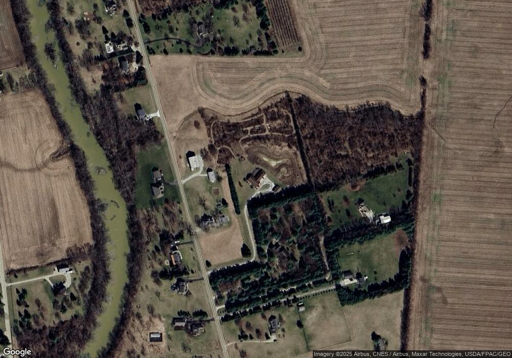
Map
Nearby Homes
- 1817 Lawrence Rd
- 0 Mink Street Rd Unit 226007139
- 715 Tyler Rd
- 6685 State Route 37 W
- 4389 State Route 203
- 0 Marsh Rd Unit 226008897
- 3935 N Section Line Rd
- 3734 Warrensburg Rd
- 3680 Warrensburg Rd
- 130 Cedar Creek St
- 240 Glemsbury Dr
- 159 Marblewood Dr
- 2961 Warrensburg Rd
- 615 S Section Line Rd
- 0 Carr Rd Unit 225016840
- 854 S Section Line Rd
- 573 Penwell Dr
- 309 Timbersmith Dr
- 1602 Troy Rd
- 45 W Park St
Your Personal Tour Guide
Ask me questions while you tour the home.