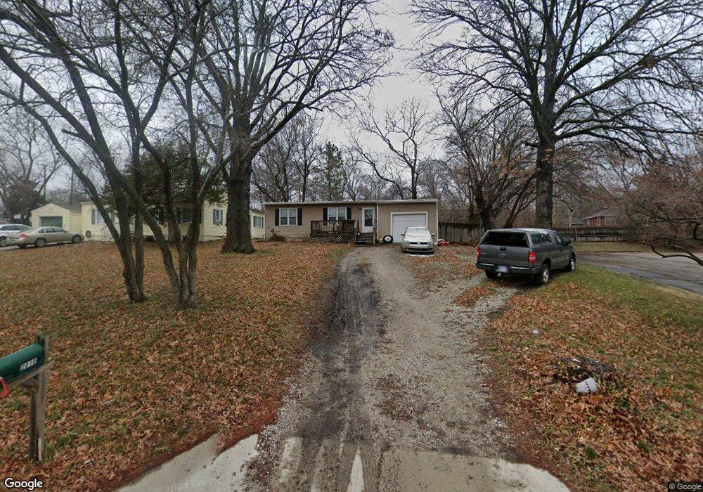
2010 University Dr Lawrence, KS 66044
Hillcrest NeighborhoodEstimated Value: $251,000 - $274,000
3
Beds
2
Baths
1,106
Sq Ft
$237/Sq Ft
Est. Value
About This Home
This home is located at 2010 University Dr, Lawrence, KS 66044 and is currently estimated at $262,256, approximately $237 per square foot. 2010 University Dr is a home located in Douglas County with nearby schools including Hillcrest Elementary School, West Middle School, and Lawrence Free State High School.
Ownership History
Date
Name
Owned For
Owner Type
Purchase Details
Closed on
Jul 30, 2008
Sold by
Slough James A and Slough Doni
Bought by
Ensz Nathan P
Current Estimated Value
Home Financials for this Owner
Home Financials are based on the most recent Mortgage that was taken out on this home.
Original Mortgage
$84,800
Outstanding Balance
$55,547
Interest Rate
6.29%
Mortgage Type
Purchase Money Mortgage
Estimated Equity
$206,709
Purchase Details
Closed on
Apr 27, 2001
Sold by
King George Stephen
Bought by
Slough James A
Home Financials for this Owner
Home Financials are based on the most recent Mortgage that was taken out on this home.
Original Mortgage
$60,800
Interest Rate
6.99%
Create a Home Valuation Report for This Property
The Home Valuation Report is an in-depth analysis detailing your home's value as well as a comparison with similar homes in the area
Home Values in the Area
Average Home Value in this Area
Purchase History
| Date | Buyer | Sale Price | Title Company |
|---|---|---|---|
| Ensz Nathan P | -- | First American Title | |
| Slough James A | -- | First American Title |
Source: Public Records
Mortgage History
| Date | Status | Borrower | Loan Amount |
|---|---|---|---|
| Open | Ensz Nathan P | $84,800 | |
| Previous Owner | Slough James A | $60,800 |
Source: Public Records
Tax History Compared to Growth
Tax History
| Year | Tax Paid | Tax Assessment Tax Assessment Total Assessment is a certain percentage of the fair market value that is determined by local assessors to be the total taxable value of land and additions on the property. | Land | Improvement |
|---|---|---|---|---|
| 2025 | $3,446 | $28,221 | $10,350 | $17,871 |
| 2024 | $3,315 | $27,181 | $10,120 | $17,061 |
| 2023 | $2,970 | $23,391 | $8,625 | $14,766 |
| 2022 | $2,768 | $21,666 | $6,325 | $15,341 |
| 2021 | $2,440 | $18,408 | $5,175 | $13,233 |
| 2020 | $2,266 | $17,204 | $5,175 | $12,029 |
| 2019 | $2,110 | $16,065 | $4,947 | $11,118 |
| 2018 | $2,115 | $15,985 | $4,720 | $11,265 |
| 2017 | $2,105 | $15,732 | $4,720 | $11,012 |
| 2016 | $1,918 | $14,996 | $5,175 | $9,821 |
| 2015 | -- | $15,019 | $5,175 | $9,844 |
| 2014 | -- | $14,628 | $5,175 | $9,453 |
Source: Public Records
Map
Nearby Homes
- 1321 Raintree Place
- 1336 Spencer Dr
- 917 Sunset Dr
- 2609 Westdale Rd
- 923 Crestline Dr
- 2901 University Dr
- 2901 University Dr Unit A, B, C, D, E, F
- 800 Madeline Ln
- 1014 Lawrence Ave
- 817 Maine St
- 735 Missouri St
- 1008 Lawrence Ave
- 1439 Applegate Ct
- 1801 Missouri St
- 1704 W 20th St
- 1633 W 20th St
- 1807 Alabama St
- 1620 W 20th Terrace
- 1021 Holiday Dr
- 1729 Mississippi St
- 2014 University Dr
- 2009 Stratford Rd
- 2020 University Dr
- 2015 Stratford Rd
- 2003 Stratford Rd
- 1302 Valley Ln
- 1300 Valley Ln
- 1301 Valley Ln
- 1919 Stratford Rd
- 2021 Stratford Rd
- 1310 Valley Ln
- 1915 Stratford Rd
- 1311 Valley Ln
- 1901 University Dr
- 2073 Stratford Rd
- 1239 Iowa St
- Lot 2 Stratford Rd
- 1316 Valley Ln
- 2008 Stratford Rd
- 2014 Stratford Rd