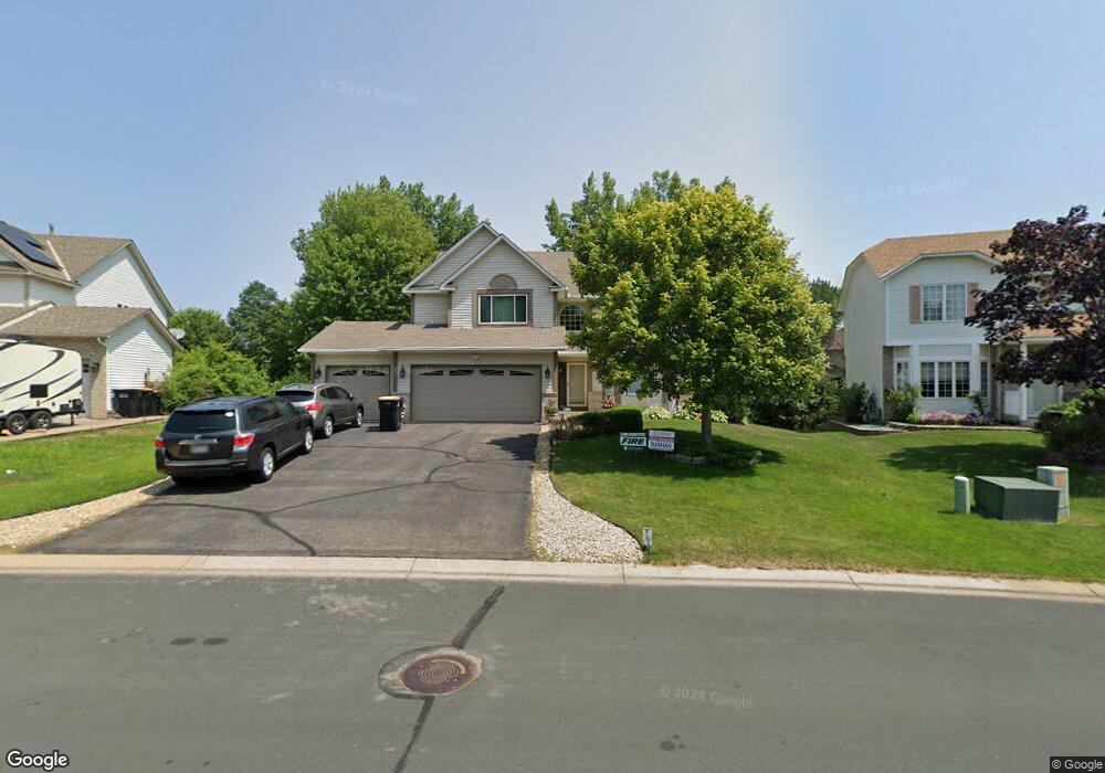
2011 Saint Francis Ave Shakopee, MN 55379
Estimated Value: $508,000 - $586,000
4
Beds
4
Baths
2,756
Sq Ft
$199/Sq Ft
Est. Value
About This Home
This home is located at 2011 Saint Francis Ave, Shakopee, MN 55379 and is currently estimated at $548,514, approximately $199 per square foot. 2011 Saint Francis Ave is a home located in Scott County with nearby schools including Sun Path Elementary School, Shakopee West Middle School, and Shakopee Senior High School.
Ownership History
Date
Name
Owned For
Owner Type
Purchase Details
Closed on
Jun 3, 2020
Sold by
Badali John J and Badali Pamela C
Bought by
Komtangi Terence K and Komtangi Pascaline N
Current Estimated Value
Home Financials for this Owner
Home Financials are based on the most recent Mortgage that was taken out on this home.
Original Mortgage
$389,651
Outstanding Balance
$346,040
Interest Rate
3.3%
Mortgage Type
FHA
Estimated Equity
$202,474
Purchase Details
Closed on
Mar 24, 2017
Sold by
Badali John J and Badali Pamela C
Bought by
Badali John J and Badali Pamela C
Purchase Details
Closed on
May 29, 1998
Sold by
Us Home Corp
Bought by
Badali John J and Brower Pamela C
Create a Home Valuation Report for This Property
The Home Valuation Report is an in-depth analysis detailing your home's value as well as a comparison with similar homes in the area
Home Values in the Area
Average Home Value in this Area
Purchase History
| Date | Buyer | Sale Price | Title Company |
|---|---|---|---|
| Komtangi Terence K | $398,500 | Titlenexus Llc | |
| Badali John J | -- | None Available | |
| Badali John J | $207,220 | -- |
Source: Public Records
Mortgage History
| Date | Status | Borrower | Loan Amount |
|---|---|---|---|
| Open | Komtangi Terence K | $389,651 |
Source: Public Records
Tax History Compared to Growth
Tax History
| Year | Tax Paid | Tax Assessment Tax Assessment Total Assessment is a certain percentage of the fair market value that is determined by local assessors to be the total taxable value of land and additions on the property. | Land | Improvement |
|---|---|---|---|---|
| 2025 | $5,566 | $518,000 | $153,300 | $364,700 |
| 2024 | $5,088 | $523,200 | $153,300 | $369,900 |
| 2023 | $5,340 | $475,100 | $148,600 | $326,500 |
| 2022 | $5,010 | $489,600 | $168,900 | $320,700 |
| 2021 | $4,468 | $388,300 | $134,500 | $253,800 |
| 2020 | $4,892 | $384,300 | $129,000 | $255,300 |
| 2019 | $5,018 | $370,000 | $114,700 | $255,300 |
| 2018 | $5,602 | $0 | $0 | $0 |
| 2016 | $5,190 | $0 | $0 | $0 |
| 2014 | -- | $0 | $0 | $0 |
Source: Public Records
Map
Nearby Homes
- 1844 Mockingbird Ave Unit 1102
- 1820 Mockingbird Ave
- 2052 Wilhelm Ct
- 1552 Dublin Ct
- 2471 Tyrone Dr
- 2447 Tyrone Dr
- 2399 Tyrone Dr
- 1511 England Way
- 2263 Tyrone Dr
- 1895 Omega Dr
- 1624 Philipp Way
- 2006 Tyrone Dr
- Lewis Plan at Summerland Place - Landmark Collection
- 2795 Downing Ave
- Vanderbilt Plan at Summerland Place - Landmark Collection
- Sinclair Plan at Summerland Place - Landmark Collection
- 2804 Trinity Dr
- 2388 Vierling Dr E
- Nokomis Plan at Summerland Place - The Tradition Collection
- Gregorian Plan at Summerland Place - The Tradition Collection
- 2021 Saint Francis Ave
- 1971 Saint Francis Ave
- 2086 Anton Way
- 2092 Anton Way
- 2080 Anton Way
- 2031 Saint Francis Ave
- 1961 Saint Francis Ave
- 2074 Anton Way
- 1974 Saint Francis Ave
- 1974 1974 St Francis Ave
- 2098 Anton Way
- 1964 Saint Francis Ave
- 2004 Saint Francis Ave
- 1951 Francis Ct
- 1941 Francis Ct
- 1954 Saint Francis Ave
- 2048 Anton Way
- 2061 Groveland Way
- 2083 Anton Way
- 2151 Groveland Way