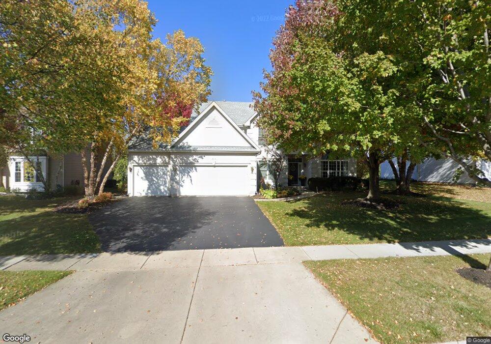
2012 Tunbridge Trail Algonquin, IL 60102
Estimated Value: $498,000 - $550,000
Studio
1
Bath
2,865
Sq Ft
$185/Sq Ft
Est. Value
About This Home
This home is located at 2012 Tunbridge Trail, Algonquin, IL 60102 and is currently estimated at $529,538, approximately $184 per square foot. 2012 Tunbridge Trail is a home located in McHenry County with nearby schools including Westfield Community School, Kenneth E Neubert Elementary School, and Harry D Jacobs High School.
Ownership History
Date
Name
Owned For
Owner Type
Purchase Details
Closed on
Nov 5, 1998
Sold by
Sentry Construction Inc
Bought by
Legacy Fine Custom Homes Inc
Current Estimated Value
Home Financials for this Owner
Home Financials are based on the most recent Mortgage that was taken out on this home.
Original Mortgage
$200,950
Outstanding Balance
$45,448
Interest Rate
7%
Estimated Equity
$484,090
Purchase Details
Closed on
Nov 1, 1998
Sold by
Legacy Fine Custom Homes Inc
Bought by
Hofer Kevin and Renee Hofer D
Home Financials for this Owner
Home Financials are based on the most recent Mortgage that was taken out on this home.
Original Mortgage
$200,950
Outstanding Balance
$45,448
Interest Rate
7%
Estimated Equity
$484,090
Create a Home Valuation Report for This Property
The Home Valuation Report is an in-depth analysis detailing your home's value as well as a comparison with similar homes in the area
Purchase History
| Date | Buyer | Sale Price | Title Company |
|---|---|---|---|
| Legacy Fine Custom Homes Inc | $65,000 | -- | |
| Hofer Kevin | $251,500 | -- |
Source: Public Records
Mortgage History
| Date | Status | Borrower | Loan Amount |
|---|---|---|---|
| Open | Hofer Kevin | $200,950 | |
| Closed | Hofer Kevin | $37,678 |
Source: Public Records
Tax History
| Year | Tax Paid | Tax Assessment Tax Assessment Total Assessment is a certain percentage of the fair market value that is determined by local assessors to be the total taxable value of land and additions on the property. | Land | Improvement |
|---|---|---|---|---|
| 2024 | $12,503 | $167,829 | $32,551 | $135,278 |
| 2023 | $11,896 | $150,102 | $29,113 | $120,989 |
| 2022 | $10,732 | $131,144 | $36,410 | $94,734 |
| 2021 | $10,309 | $122,176 | $33,920 | $88,256 |
| 2020 | $10,043 | $117,851 | $32,719 | $85,132 |
| 2019 | $9,807 | $112,798 | $31,316 | $81,482 |
| 2018 | $9,360 | $104,201 | $28,929 | $75,272 |
| 2017 | $9,178 | $98,164 | $27,253 | $70,911 |
| 2016 | $9,051 | $92,069 | $25,561 | $66,508 |
| 2013 | -- | $87,487 | $23,845 | $63,642 |
Source: Public Records
Map
Nearby Homes
- 1157 Sawmill Ln
- 760 Regal Ln
- 2380 Dawson Ln Unit 165
- 681 Majestic Dr
- 1820 Crofton Dr
- 2051 Carlisle St
- 1002 Interloch Ct Unit 152
- 1920 Jester Ln
- 20 Peach Tree Ct Unit 4153
- 18 Peach Tree Ct Unit 4154
- 700 Fairfield Ln
- 2069 Peach Tree Ln Unit 4116
- 1900 Waverly Ln
- 1 N Hubbard St
- SWC Talaga and Algonquin Rd
- 145 S Oakleaf Rd
- 895 Eineke Blvd
- 2612 Loren Ln Unit 293
- 7 Falcon Ridge Ct
- 135 Arquilla Dr
- 2022 Tunbridge Trail
- 2002 Tunbridge Trail
- 1135 Sawmill Ln
- 1137 Sawmill Ln
- 1133 Sawmill Ln
- 2032 Tunbridge Trail
- 2013 Tunbridge Trail
- 1139 Sawmill Ln
- 2023 Tunbridge Trail
- 2003 Tunbridge Trail
- 2042 Tunbridge Trail
- 1141 Sawmill Ln
- 6 Brindlewood Ct
- 2033 Tunbridge Trail
- 4 Brindlewood Ct
- 1131 Sawmill Ln
- 1122 Sawmill Ln
- 2052 Tunbridge Trail
- 1143 Sawmill Ln
- 2043 Tunbridge Trail
Your Personal Tour Guide
Ask me questions while you tour the home.