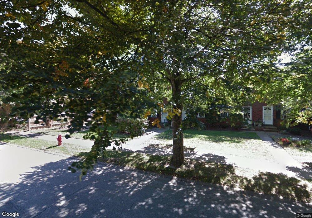
20133 Grannis Rd Unit 12 Cleveland, OH 44126
Estimated Value: $159,000 - $192,000
2
Beds
2
Baths
1,344
Sq Ft
$132/Sq Ft
Est. Value
About This Home
This home is located at 20133 Grannis Rd Unit 12, Cleveland, OH 44126 and is currently estimated at $177,679, approximately $132 per square foot. 20133 Grannis Rd Unit 12 is a home located in Cuyahoga County with nearby schools including Gilles-Sweet Elementary School, Lewis F Mayer Middle School, and Fairview High School.
Ownership History
Date
Name
Owned For
Owner Type
Purchase Details
Closed on
Jan 12, 2007
Sold by
Lennon Rev Richard G
Bought by
Oconnor Mary J
Current Estimated Value
Home Financials for this Owner
Home Financials are based on the most recent Mortgage that was taken out on this home.
Original Mortgage
$76,000
Interest Rate
6.21%
Mortgage Type
Unknown
Purchase Details
Closed on
Jan 6, 1998
Sold by
Estate Of Nazareno Deangelis
Bought by
Catholic Diocese Of Cleveland
Purchase Details
Closed on
Nov 20, 1987
Sold by
Kempke Helen C
Bought by
Deangelis Nazareno
Purchase Details
Closed on
Jan 1, 1975
Bought by
Kempke Helen C
Create a Home Valuation Report for This Property
The Home Valuation Report is an in-depth analysis detailing your home's value as well as a comparison with similar homes in the area
Home Values in the Area
Average Home Value in this Area
Purchase History
| Date | Buyer | Sale Price | Title Company |
|---|---|---|---|
| Oconnor Mary J | $95,000 | Real Living Title Agency L | |
| Catholic Diocese Of Cleveland | -- | -- | |
| Deangelis Nazareno | $57,000 | -- | |
| Kempke Helen C | -- | -- |
Source: Public Records
Mortgage History
| Date | Status | Borrower | Loan Amount |
|---|---|---|---|
| Closed | Oconnor Mary J | $76,000 |
Source: Public Records
Tax History Compared to Growth
Tax History
| Year | Tax Paid | Tax Assessment Tax Assessment Total Assessment is a certain percentage of the fair market value that is determined by local assessors to be the total taxable value of land and additions on the property. | Land | Improvement |
|---|---|---|---|---|
| 2024 | $3,320 | $47,250 | $4,725 | $42,525 |
| 2023 | $2,739 | $33,050 | $3,330 | $29,720 |
| 2022 | $2,672 | $33,040 | $3,330 | $29,720 |
| 2021 | $2,709 | $33,040 | $3,330 | $29,720 |
| 2020 | $2,459 | $26,220 | $2,630 | $23,590 |
| 2019 | $2,193 | $74,900 | $7,500 | $67,400 |
| 2018 | $2,198 | $26,220 | $2,630 | $23,590 |
| 2017 | $2,283 | $25,310 | $2,520 | $22,790 |
| 2016 | $2,269 | $25,310 | $2,520 | $22,790 |
| 2015 | $2,621 | $25,310 | $2,520 | $22,790 |
| 2014 | $2,621 | $29,760 | $2,980 | $26,780 |
Source: Public Records
Map
Nearby Homes
- 20187 Grannis Rd
- 4348 W 202nd St
- 19640 Lorain Rd
- 20663 Woodstock Ave
- 4336 W 196th St
- 20778 Woodstock Ave
- 19510 Lorain Rd Unit 201
- 20877 Fairpark Dr
- 19270 Lorain Rd
- 21143 Westwood Rd
- 19575 Henry Rd
- 4352 W 211th St
- 19190 S Sagamore Rd
- 21236 Northwood Ave
- 21237 Westwood Rd
- 3712 Addington Ct
- 18875 Riversouth Terrace Unit 27
- 18875 Riversouth Trace Unit 30
- 3420 W 210th St
- 3167 Linden Rd Unit 503
- 20139 Grannis Rd Unit 11
- 20181 Grannis Rd Unit 4
- 20169 Grannis Rd Unit 6
- 20199 Grannis Rd
- 20193 Grannis Rd
- 20145 Grannis Rd
- 20151 Grannis Rd
- 20175 Grannis Rd Unit V5
- 20175 Grannis Rd Unit 5
- 20199 Grannis Rd Unit 1
- 20187 Grannis Rd Unit 3
- 20145 Grannis Rd Unit 10
- 20151 Grannis Rd Unit 9
- 20163 Grannis Rd Unit 7
- 20127 Grannis Rd
- 20163 Grannis Rd
- 20157 Grannis Rd
- 20127 Grannis Rd Unit 13
- 20157 Grannis Rd Unit 8
- 4385 W 202nd St