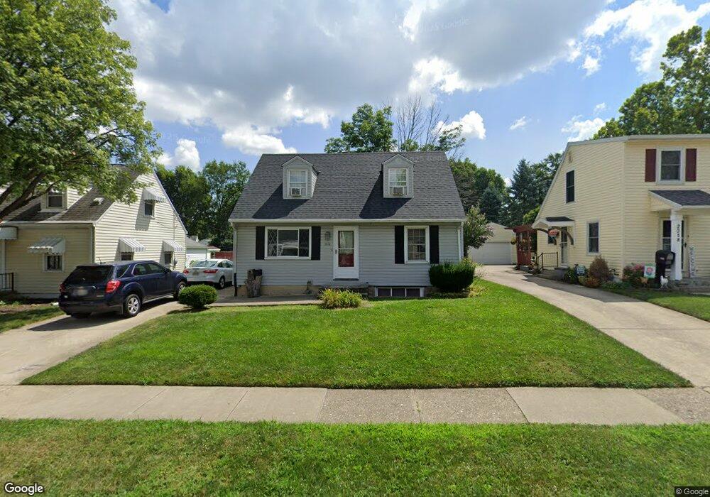
2014 Malcom Dr Dayton, OH 45420
Estimated Value: $177,935 - $205,000
3
Beds
1
Bath
1,098
Sq Ft
$174/Sq Ft
Est. Value
About This Home
This home is located at 2014 Malcom Dr, Dayton, OH 45420 and is currently estimated at $190,734, approximately $173 per square foot. 2014 Malcom Dr is a home located in Montgomery County with nearby schools including Greenmont Elementary School, Kettering Middle School, and Kettering Fairmont High School.
Ownership History
Date
Name
Owned For
Owner Type
Purchase Details
Closed on
Jan 9, 2006
Sold by
Hudson Matthew A and Hudson Andria M
Bought by
Kates Robert P and Kates Elizabeth J
Current Estimated Value
Purchase Details
Closed on
May 12, 2004
Sold by
Houck Wayne L and Houck Charla M
Bought by
Hudson Matthew A and Hudson Andria M
Home Financials for this Owner
Home Financials are based on the most recent Mortgage that was taken out on this home.
Original Mortgage
$111,000
Interest Rate
5.99%
Mortgage Type
Purchase Money Mortgage
Purchase Details
Closed on
Feb 14, 1995
Sold by
Young Betty G and Alcorn Thomas M
Bought by
Houck Wayne L
Create a Home Valuation Report for This Property
The Home Valuation Report is an in-depth analysis detailing your home's value as well as a comparison with similar homes in the area
Home Values in the Area
Average Home Value in this Area
Purchase History
| Date | Buyer | Sale Price | Title Company |
|---|---|---|---|
| Kates Robert P | $112,900 | None Available | |
| Hudson Matthew A | $111,000 | -- | |
| Houck Wayne L | -- | -- |
Source: Public Records
Mortgage History
| Date | Status | Borrower | Loan Amount |
|---|---|---|---|
| Previous Owner | Hudson Matthew A | $111,000 |
Source: Public Records
Tax History
| Year | Tax Paid | Tax Assessment Tax Assessment Total Assessment is a certain percentage of the fair market value that is determined by local assessors to be the total taxable value of land and additions on the property. | Land | Improvement |
|---|---|---|---|---|
| 2025 | $3,252 | $49,430 | $11,010 | $38,420 |
| 2024 | $3,162 | $49,430 | $11,010 | $38,420 |
| 2023 | $3,162 | $49,430 | $11,010 | $38,420 |
| 2022 | $2,741 | $34,510 | $7,700 | $26,810 |
| 2021 | $2,537 | $34,510 | $7,700 | $26,810 |
| 2020 | $2,545 | $34,510 | $7,700 | $26,810 |
| 2019 | $2,613 | $31,350 | $7,700 | $23,650 |
| 2018 | $2,627 | $31,350 | $7,700 | $23,650 |
| 2017 | $2,422 | $31,350 | $7,700 | $23,650 |
| 2016 | $2,268 | $27,540 | $7,700 | $19,840 |
| 2015 | $2,204 | $27,540 | $7,700 | $19,840 |
| 2014 | $2,204 | $27,540 | $7,700 | $19,840 |
| 2012 | -- | $31,580 | $8,400 | $23,180 |
Source: Public Records
Map
Nearby Homes
- 2291 Patterson Rd
- 1634 Horlacher Ave
- 1534 Horlacher Ave
- 1513 Horlacher Ave
- 2105 Pittsfield St
- 2251 Vale Dr
- 2004 Hazel Ave
- 1618 Briedweng Ave Unit 1616
- 1701 Rockhurst Ave
- 2009 Hazel Ave
- 2408 Homeland Ct
- 2618 Kennedy Ave
- 1814 Ewalt Ave
- 2301 Rockwell Ct
- 2808 Whitehorse Ave
- 3019 Dwight Ave
- 1409 Highview Ave
- 1629 Beaver Creek Ln
- 2957 Purdue Dr
- 1104 Chelsea Ave
Your Personal Tour Guide
Ask me questions while you tour the home.