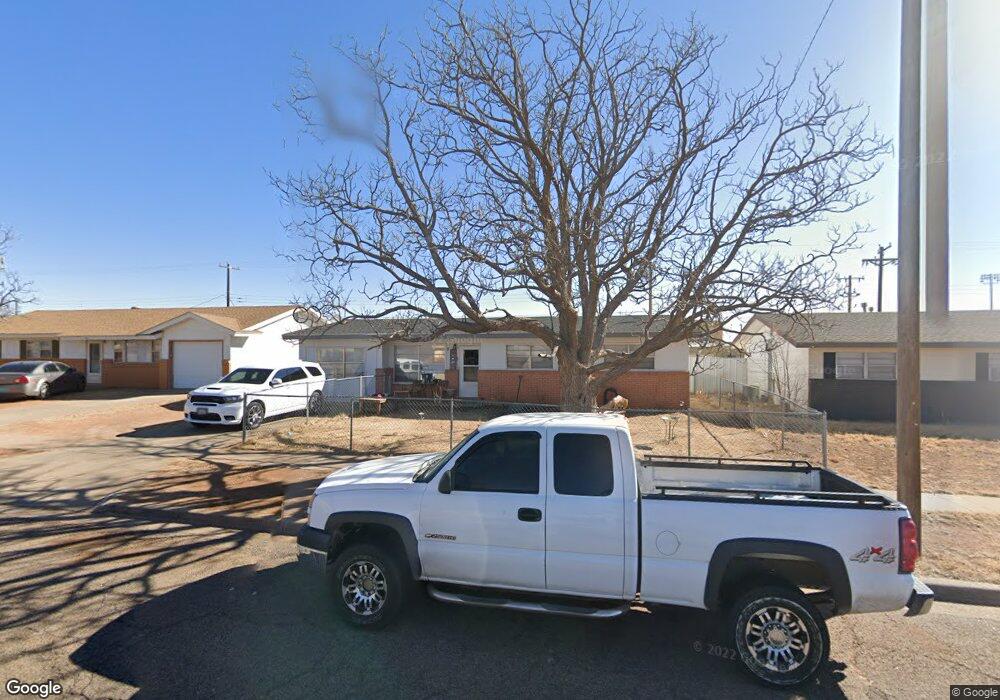
2015 Gerry Dr Clovis, NM 88101
Estimated Value: $121,823 - $173,000
Studio
--
Bath
--
Sq Ft
6,447
Sq Ft Lot
About This Home
This home is located at 2015 Gerry Dr, Clovis, NM 88101 and is currently estimated at $144,956. 2015 Gerry Dr is a home with nearby schools including Cameo Elementary School, WD Gattis Middle School, and Clovis High School.
Ownership History
Date
Name
Owned For
Owner Type
Purchase Details
Closed on
Dec 1, 2023
Sold by
Garcia Ernest
Bought by
Western Management Lllp
Current Estimated Value
Purchase Details
Closed on
Apr 1, 2016
Sold by
Hailey Aaron N
Bought by
Garcia Ernest
Home Financials for this Owner
Home Financials are based on the most recent Mortgage that was taken out on this home.
Original Mortgage
$78,500
Interest Rate
6.5%
Mortgage Type
New Conventional
Create a Home Valuation Report for This Property
The Home Valuation Report is an in-depth analysis detailing your home's value as well as a comparison with similar homes in the area
Purchase History
| Date | Buyer | Sale Price | Title Company |
|---|---|---|---|
| Western Management Lllp | -- | Curry Cnty Abstract & Title Co | |
| Garcia Ernest | $79,000 | Curry Cnty Abstract & Title Co |
Source: Public Records
Mortgage History
| Date | Status | Borrower | Loan Amount |
|---|---|---|---|
| Previous Owner | Garcia Ernest | $78,500 |
Source: Public Records
Tax History
| Year | Tax Paid | Tax Assessment Tax Assessment Total Assessment is a certain percentage of the fair market value that is determined by local assessors to be the total taxable value of land and additions on the property. | Land | Improvement |
|---|---|---|---|---|
| 2025 | $831 | $32,902 | $2,289 | $30,613 |
| 2024 | $831 | $31,945 | $2,223 | $29,722 |
| 2023 | $800 | $31,016 | $2,159 | $28,857 |
| 2022 | $759 | $30,114 | $2,097 | $28,017 |
| 2021 | $688 | $29,237 | $2,036 | $27,201 |
| 2020 | $686 | $28,965 | $1,977 | $26,988 |
| 2019 | $666 | $28,178 | $1,920 | $26,258 |
| 2018 | $642 | $27,359 | $1,865 | $25,494 |
| 2017 | $619 | $26,563 | $1,811 | $24,752 |
| 2016 | $619 | $26,884 | $1,759 | $25,125 |
| 2015 | $653 | $28,589 | $1,708 | $26,881 |
| 2014 | $654 | $28,842 | $1,659 | $27,183 |
Source: Public Records
Map
Nearby Homes
- 2037 N Hull St
- 216 Rosa Blvd
- 125 Columbia Ln
- 1821 Gerry Dr
- 1704 Laura Ln
- 224 Ruth St
- 908 Harvard St
- 1004 Kathie Dr
- 1621 Cameo St
- 716 W 19th St
- 209 Starlite Dr
- 2301 Duckworth Ave
- 1560 Westchester St
- 1545 Westchester St
- 620 W 17th St
- 1412 N Reid St
- 804 Kathie Dr
- 305 Starlite Dr
- 801 W Yucca Ave
- 1309 N Reid St
Your Personal Tour Guide
Ask me questions while you tour the home.