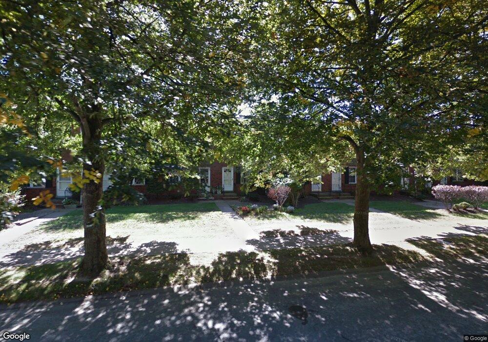
20151 Grannis Rd Cleveland, OH 44126
Estimated Value: $141,000 - $163,000
2
Beds
2
Baths
1,344
Sq Ft
$116/Sq Ft
Est. Value
About This Home
This home is located at 20151 Grannis Rd, Cleveland, OH 44126 and is currently estimated at $155,546, approximately $115 per square foot. 20151 Grannis Rd is a home located in Cuyahoga County with nearby schools including Gilles-Sweet Elementary School, Lewis F Mayer Middle School, and Fairview High School.
Ownership History
Date
Name
Owned For
Owner Type
Purchase Details
Closed on
Oct 9, 2019
Sold by
Mccafferty Joseph P and Brello Sandra J
Bought by
Schempp Robert
Current Estimated Value
Purchase Details
Closed on
Nov 3, 1983
Sold by
Cornell Charles H
Bought by
Brello Sandra J
Purchase Details
Closed on
Dec 5, 1978
Sold by
Cornell Charles H and Cornell Angela S
Bought by
Cornell Charles H
Purchase Details
Closed on
Jan 1, 1975
Bought by
Cornell Charles H and Cornell Angela S
Create a Home Valuation Report for This Property
The Home Valuation Report is an in-depth analysis detailing your home's value as well as a comparison with similar homes in the area
Home Values in the Area
Average Home Value in this Area
Purchase History
| Date | Buyer | Sale Price | Title Company |
|---|---|---|---|
| Schempp Robert | $65,000 | Chicago Title Insurance C | |
| Brello Sandra J | $52,500 | -- | |
| Cornell Charles H | -- | -- | |
| Cornell Charles H | -- | -- |
Source: Public Records
Tax History Compared to Growth
Tax History
| Year | Tax Paid | Tax Assessment Tax Assessment Total Assessment is a certain percentage of the fair market value that is determined by local assessors to be the total taxable value of land and additions on the property. | Land | Improvement |
|---|---|---|---|---|
| 2024 | $2,981 | $42,245 | $3,850 | $38,395 |
| 2023 | $1,935 | $22,760 | $3,330 | $19,430 |
| 2022 | $1,895 | $22,750 | $3,330 | $19,430 |
| 2021 | $1,909 | $22,750 | $3,330 | $19,430 |
| 2020 | $2,459 | $26,220 | $2,630 | $23,590 |
| 2019 | $1,508 | $74,900 | $7,500 | $67,400 |
| 2018 | $1,336 | $26,220 | $2,630 | $23,590 |
| 2017 | $1,543 | $25,310 | $2,520 | $22,790 |
| 2016 | $1,533 | $25,310 | $2,520 | $22,790 |
| 2015 | $1,892 | $25,310 | $2,520 | $22,790 |
| 2014 | $1,892 | $29,760 | $2,980 | $26,780 |
Source: Public Records
Map
Nearby Homes
- 20187 Grannis Rd
- 4348 W 202nd St
- 19640 Lorain Rd
- 20663 Woodstock Ave
- 4336 W 196th St
- 20778 Woodstock Ave
- 19510 Lorain Rd Unit 201
- 20877 Fairpark Dr
- 19270 Lorain Rd
- 21143 Westwood Rd
- 19575 Henry Rd
- 4352 W 211th St
- 19190 S Sagamore Rd
- 21236 Northwood Ave
- 21237 Westwood Rd
- 3712 Addington Ct
- 18875 Riversouth Terrace Unit 27
- 18875 Riversouth Trace Unit 30
- 3420 W 210th St
- 3167 Linden Rd Unit 503
- 20139 Grannis Rd Unit 11
- 20133 Grannis Rd Unit 12
- 20181 Grannis Rd Unit 4
- 20169 Grannis Rd Unit 6
- 20199 Grannis Rd
- 20193 Grannis Rd
- 20145 Grannis Rd
- 20175 Grannis Rd Unit V5
- 20175 Grannis Rd Unit 5
- 20199 Grannis Rd Unit 1
- 20187 Grannis Rd Unit 3
- 20145 Grannis Rd Unit 10
- 20151 Grannis Rd Unit 9
- 20163 Grannis Rd Unit 7
- 20127 Grannis Rd
- 20163 Grannis Rd
- 20157 Grannis Rd
- 20127 Grannis Rd Unit 13
- 20157 Grannis Rd Unit 8
- 4385 W 202nd St