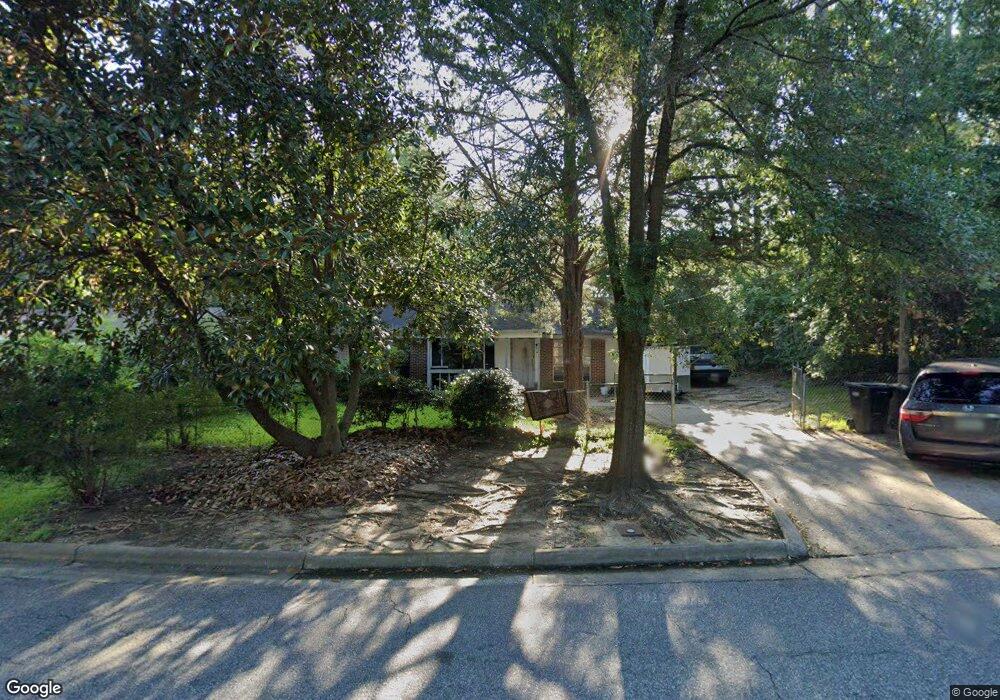
2016 Courtland Ave Columbus, GA 31907
Eastern Columbus NeighborhoodEstimated Value: $123,000 - $146,000
3
Beds
2
Baths
1,323
Sq Ft
$103/Sq Ft
Est. Value
About This Home
This home is located at 2016 Courtland Ave, Columbus, GA 31907 and is currently estimated at $136,336, approximately $103 per square foot. 2016 Courtland Ave is a home located in Muscogee County with nearby schools including Georgetown Elementary School, East Columbus Magnet Academy, and Kendrick High School.
Ownership History
Date
Name
Owned For
Owner Type
Purchase Details
Closed on
Jan 31, 2023
Sold by
Turner Richard Lane
Bought by
Rl Turner Properties Llc
Current Estimated Value
Purchase Details
Closed on
Aug 16, 2019
Sold by
Turner Richard E
Bought by
Turner Richard Lane
Home Financials for this Owner
Home Financials are based on the most recent Mortgage that was taken out on this home.
Original Mortgage
$193,000
Interest Rate
3.07%
Create a Home Valuation Report for This Property
The Home Valuation Report is an in-depth analysis detailing your home's value as well as a comparison with similar homes in the area
Home Values in the Area
Average Home Value in this Area
Purchase History
| Date | Buyer | Sale Price | Title Company |
|---|---|---|---|
| Rl Turner Properties Llc | -- | -- | |
| Turner Richard Lane | $193,000 | -- |
Source: Public Records
Mortgage History
| Date | Status | Borrower | Loan Amount |
|---|---|---|---|
| Previous Owner | Turner Richard Lane | $193,000 |
Source: Public Records
Tax History Compared to Growth
Tax History
| Year | Tax Paid | Tax Assessment Tax Assessment Total Assessment is a certain percentage of the fair market value that is determined by local assessors to be the total taxable value of land and additions on the property. | Land | Improvement |
|---|---|---|---|---|
| 2025 | $1,523 | $38,916 | $8,756 | $30,160 |
| 2024 | $2,103 | $38,916 | $8,756 | $30,160 |
| 2023 | $1,057 | $39,224 | $8,756 | $30,468 |
| 2022 | $1,095 | $26,828 | $8,756 | $18,072 |
| 2021 | $1,076 | $26,364 | $8,756 | $17,608 |
| 2020 | $1,077 | $26,364 | $8,756 | $17,608 |
| 2019 | $1,080 | $26,364 | $8,756 | $17,608 |
| 2018 | $1,080 | $26,364 | $8,756 | $17,608 |
| 2017 | $1,084 | $26,364 | $8,756 | $17,608 |
| 2016 | $1,201 | $29,108 | $2,847 | $26,261 |
| 2015 | $1,202 | $29,108 | $2,847 | $26,261 |
| 2014 | $1,204 | $29,108 | $2,847 | $26,261 |
| 2013 | -- | $36,814 | $2,847 | $33,967 |
Source: Public Records
Map
Nearby Homes
- 1754 Mazor Dr
- 1925 Woodhollow Dr
- 1826 Woodhollow Dr
- 1607 Mazor Dr
- 6916 Bradshaw Dr
- 6213 Fitzgerald Dr
- 6620 Cove Cir
- 1322 Melford Dr
- 2708 Courtland Ave
- 2216 Hunter Ct
- 6032 Cordova Rd
- 6047 Capri Cir
- 2672 Honeysuckle Dr
- 5929 Gleneden Dr
- 5920 Gleneden Dr
- 6061 Luna Dr
- 6033 Luna Dr
- 3041 Waddell Dr
- 6119 Mill Branch Rd
- 2525 Corineth Dr
- 2024 Courtland Ave
- 6501 Playfield Dr
- 6511 Playfield Dr
- 2017 Courtland Ave
- 6515 Playfield Dr
- 2025 Courtland Ave
- 2011 Courtland Ave
- 2001 Courtland Ave
- 2106 Courtland Ave
- 6521 Playfield Dr
- 6500 Playfield Dr
- 6408 Hunter Rd
- 6512 Playfield Dr
- 1940 Woodhollow Dr
- 6518 Playfield Dr
- 2107 Courtland Ave
- 2114 Courtland Ave
- 1932 Woodhollow Dr Unit 27
- 1932 Woodhollow Dr
- 6349 Dupree Dr