20188 Westpoint Dr Riverside, CA 92507
North Moreno Valley NeighborhoodEstimated Value: $600,000 - $704,000
2
Beds
2
Baths
1,951
Sq Ft
$329/Sq Ft
Est. Value
About This Home
This home is located at 20188 Westpoint Dr, Riverside, CA 92507 and is currently estimated at $642,458, approximately $329 per square foot. 20188 Westpoint Dr is a home located in Riverside County with nearby schools including Seneca Elementary School, Vista Heights Middle School, and Canyon Springs High School.
Ownership History
Date
Name
Owned For
Owner Type
Purchase Details
Closed on
Nov 3, 2004
Sold by
Smyth Donald E and Smyth Jeannette
Bought by
Bartlett Douglas Blair and Hasegawa Leslie Sara
Current Estimated Value
Home Financials for this Owner
Home Financials are based on the most recent Mortgage that was taken out on this home.
Original Mortgage
$100,000
Interest Rate
5.8%
Mortgage Type
New Conventional
Purchase Details
Closed on
Sep 16, 2004
Sold by
Smyth Donald E and Smyth Jeannette
Bought by
Smyth Donald E and Smyth Jeannette
Home Financials for this Owner
Home Financials are based on the most recent Mortgage that was taken out on this home.
Original Mortgage
$100,000
Interest Rate
5.8%
Mortgage Type
New Conventional
Purchase Details
Closed on
Oct 2, 1998
Sold by
Smyth Donald E and Smyth Jeannette
Bought by
Smyth Donald E and Smyth Jeannette
Create a Home Valuation Report for This Property
The Home Valuation Report is an in-depth analysis detailing your home's value as well as a comparison with similar homes in the area
Home Values in the Area
Average Home Value in this Area
Purchase History
| Date | Buyer | Sale Price | Title Company |
|---|---|---|---|
| Bartlett Douglas Blair | $360,000 | Ticor Title | |
| Smyth Donald E | -- | First American Title Co Lend | |
| Smyth Donald E | -- | First American Title Co Lend | |
| Smyth Donald E | -- | -- |
Source: Public Records
Mortgage History
| Date | Status | Borrower | Loan Amount |
|---|---|---|---|
| Previous Owner | Smyth Donald E | $100,000 |
Source: Public Records
Tax History
| Year | Tax Paid | Tax Assessment Tax Assessment Total Assessment is a certain percentage of the fair market value that is determined by local assessors to be the total taxable value of land and additions on the property. | Land | Improvement |
|---|---|---|---|---|
| 2025 | $5,432 | $501,784 | $104,530 | $397,254 |
| 2023 | $5,432 | $482,301 | $100,472 | $381,829 |
| 2022 | $5,214 | $472,845 | $98,502 | $374,343 |
| 2021 | $5,110 | $463,574 | $96,571 | $367,003 |
| 2020 | $4,606 | $418,839 | $86,767 | $332,072 |
| 2019 | $4,481 | $406,640 | $84,240 | $322,400 |
| 2018 | $4,302 | $391,000 | $81,000 | $310,000 |
| 2017 | $3,719 | $340,000 | $71,000 | $269,000 |
| 2016 | $3,652 | $331,000 | $69,000 | $262,000 |
| 2015 | $3,483 | $316,000 | $66,000 | $250,000 |
| 2014 | $2,998 | $288,000 | $60,000 | $228,000 |
Source: Public Records
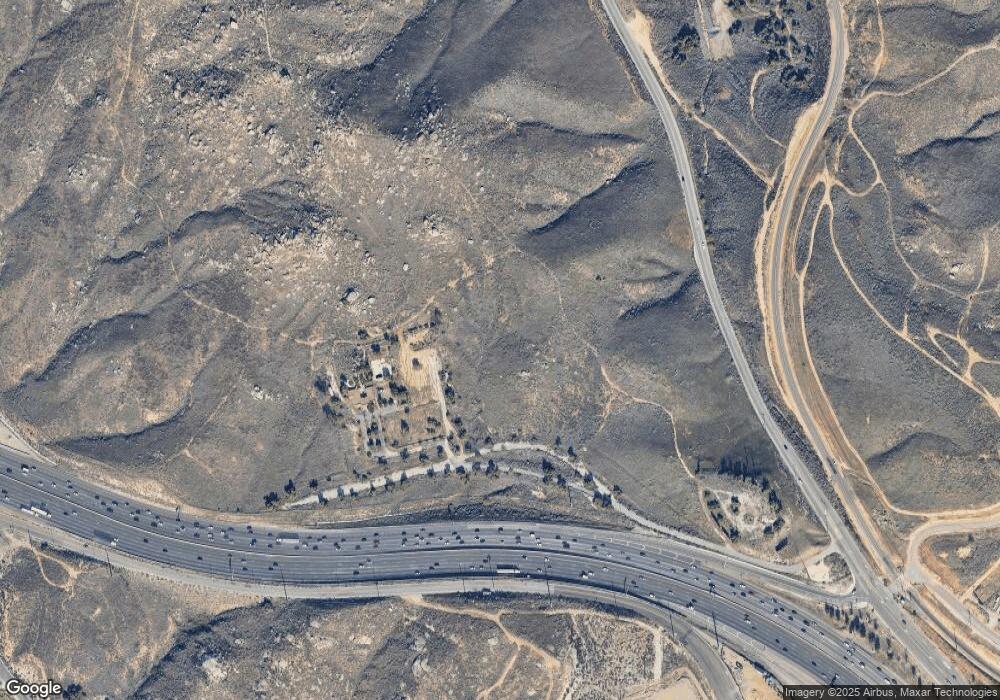
Map
Nearby Homes
- 20079 Westpoint Dr
- 5423 Canmore Ct
- 20995 Mountain Gate Dr
- 20996 Mountain Gate Dr
- 0 Harvard Way
- 1434 Haddington Dr
- 20517 Claremont Ave
- 1439 Lochaber Ct
- 375 Central Ave Unit 124
- 375 Central Ave Unit 78
- 375 Central Ave Unit 14
- 375 Central Ave Unit 24
- 375 Central Ave Unit 83
- 20682 Hill Top Dr
- 0 Pettegrew Rd Unit IV25281686
- 11500 Wordsworth Rd
- 6011 Matheson Dr
- 511 Athens St
- 600 Central Ave Unit 291
- 600 Central Ave Unit 332
- 20196 Westpoint Dr
- 20180 Westpoint Dr
- 0 Westpoint Dr
- 11474 Tulane Ave
- 20200 Westpoint Dr
- 11488 Tulane Ave
- 20167 Westpoint Dr
- 20174 Westpoint Dr
- 20168 Dartmouth Ave
- 11500 Tulane Ave
- 11460 Tulane Ave
- 20242 Westpoint Dr
- 20164 Westpoint Dr
- 20151 Westpoint Dr
- 20214 Westpoint Dr
- 20274 W Point Dr
- 0 W Point Dr
- 11448 Tulane Ave
- 11461 Lehigh Ln
- 20227 Princeton Ave
Your Personal Tour Guide
Ask me questions while you tour the home.