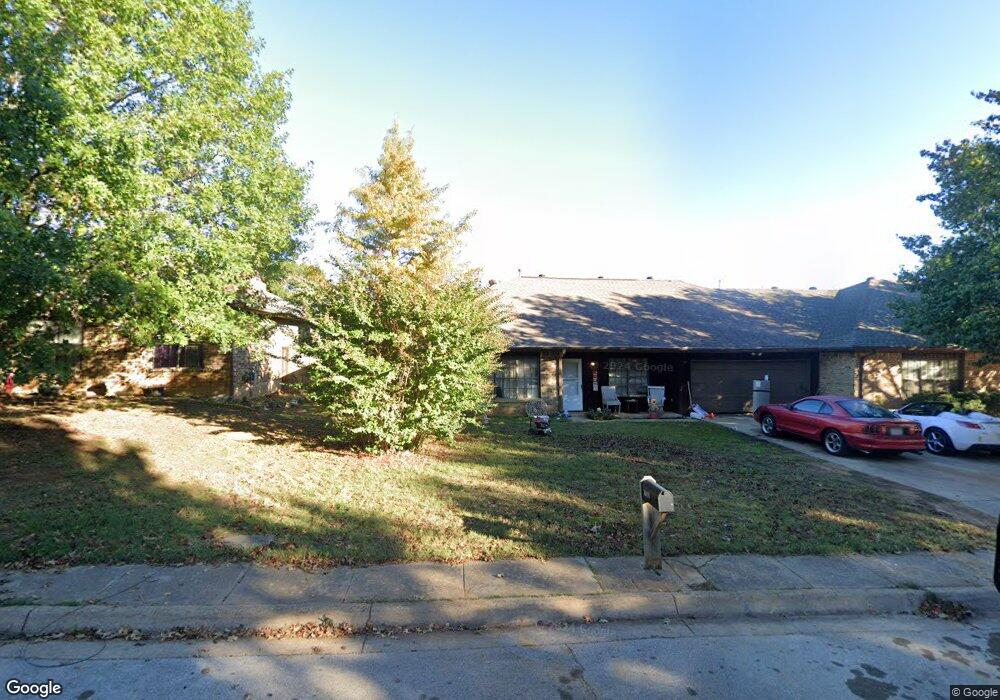
2019 Brookside Dr Grapevine, TX 76051
Estimated Value: $337,800 - $423,000
3
Beds
2
Baths
1,405
Sq Ft
$261/Sq Ft
Est. Value
About This Home
This home is located at 2019 Brookside Dr, Grapevine, TX 76051 and is currently estimated at $367,200, approximately $261 per square foot. 2019 Brookside Dr is a home located in Tarrant County with nearby schools including Cannon Elementary School, Grapevine Middle, and Grapevine High School.
Ownership History
Date
Name
Owned For
Owner Type
Purchase Details
Closed on
Oct 7, 2021
Sold by
Lybrand Sarah Alexis and Estate Of Mickey Woodrow Davis
Bought by
Morgan Susan
Current Estimated Value
Purchase Details
Closed on
Apr 16, 2012
Sold by
Davison Mickey Woodrow and Davison Marlene M
Bought by
Davison Mickey Woodrow
Home Financials for this Owner
Home Financials are based on the most recent Mortgage that was taken out on this home.
Original Mortgage
$56,500
Interest Rate
3.97%
Mortgage Type
New Conventional
Purchase Details
Closed on
Dec 23, 1997
Sold by
Herriage James Drew and Herriage Tonya
Bought by
Davison Mickey Woodrow
Home Financials for this Owner
Home Financials are based on the most recent Mortgage that was taken out on this home.
Original Mortgage
$67,200
Interest Rate
7.18%
Create a Home Valuation Report for This Property
The Home Valuation Report is an in-depth analysis detailing your home's value as well as a comparison with similar homes in the area
Home Values in the Area
Average Home Value in this Area
Purchase History
| Date | Buyer | Sale Price | Title Company |
|---|---|---|---|
| Morgan Susan | -- | None Available | |
| Davison Mickey Woodrow | -- | None Available | |
| Davison Mickey Woodrow | -- | Stewart Title |
Source: Public Records
Mortgage History
| Date | Status | Borrower | Loan Amount |
|---|---|---|---|
| Previous Owner | Davison Mickey Woodrow | $56,500 | |
| Previous Owner | Davison Mickey Woodrow | $67,200 |
Source: Public Records
Tax History
| Year | Tax Paid | Tax Assessment Tax Assessment Total Assessment is a certain percentage of the fair market value that is determined by local assessors to be the total taxable value of land and additions on the property. | Land | Improvement |
|---|---|---|---|---|
| 2025 | $1,473 | $305,377 | $30,000 | $275,377 |
| 2024 | $1,473 | $305,377 | $30,000 | $275,377 |
| 2023 | $5,584 | $333,092 | $30,000 | $303,092 |
| 2022 | $4,285 | $216,311 | $25,000 | $191,311 |
| 2021 | $4,457 | $205,000 | $25,000 | $180,000 |
| 2020 | $4,509 | $205,000 | $25,000 | $180,000 |
| 2019 | $3,463 | $151,863 | $12,500 | $139,363 |
| 2018 | $903 | $151,863 | $12,500 | $139,363 |
| 2017 | $3,297 | $142,545 | $12,500 | $130,045 |
| 2016 | $3,356 | $145,131 | $12,500 | $132,631 |
| 2015 | $2,214 | $96,500 | $12,500 | $84,000 |
| 2014 | $2,214 | $96,500 | $12,500 | $84,000 |
Source: Public Records
Map
Nearby Homes
- 2013 Heatherbrook Dr
- 2136 Pritchard Dr
- 2221 Churchill Loop
- 2081 Holt Way
- 2093 Holt Way
- 1707 Overlook Dr
- 2410 Bowie Ln
- 1068 Rosewood Dr
- 1453 Hampton Rd
- 831 Simmons Ct
- 1313 Tillery Ct
- 1093 Woodbriar Dr
- 2156 Sandell Dr
- 6007 Laurel Ln
- 6011 Laurel Ln
- 305 Bluebonnet Dr
- 1213 Hillwood Way
- 2869 Rainforest Ct
- 1626 Choteau Cir
- 2211 Sierra Dr
- 2017 Brookside Dr
- 2023 Brookside Dr
- 2015 Brookside Dr
- 1945 Lilac Ln
- 1949 Lilac Ln
- 1941 Lilac Ln
- 1953 Lilac Ln
- 2027 Brookside Dr
- 1937 Lilac Ln
- 2018 Brookside Dr
- 2020 Brookside Dr
- 2022 Brookside Dr
- 2009 Brookside Dr
- 2014 Brookside Dr
- 2024 Brookside Dr
- 1933 Lilac Ln
- 2026 Brookside Dr
- 1957 Lilac Ln
- 2010 Brookside Dr
- 2028 Brookside Dr
Your Personal Tour Guide
Ask me questions while you tour the home.