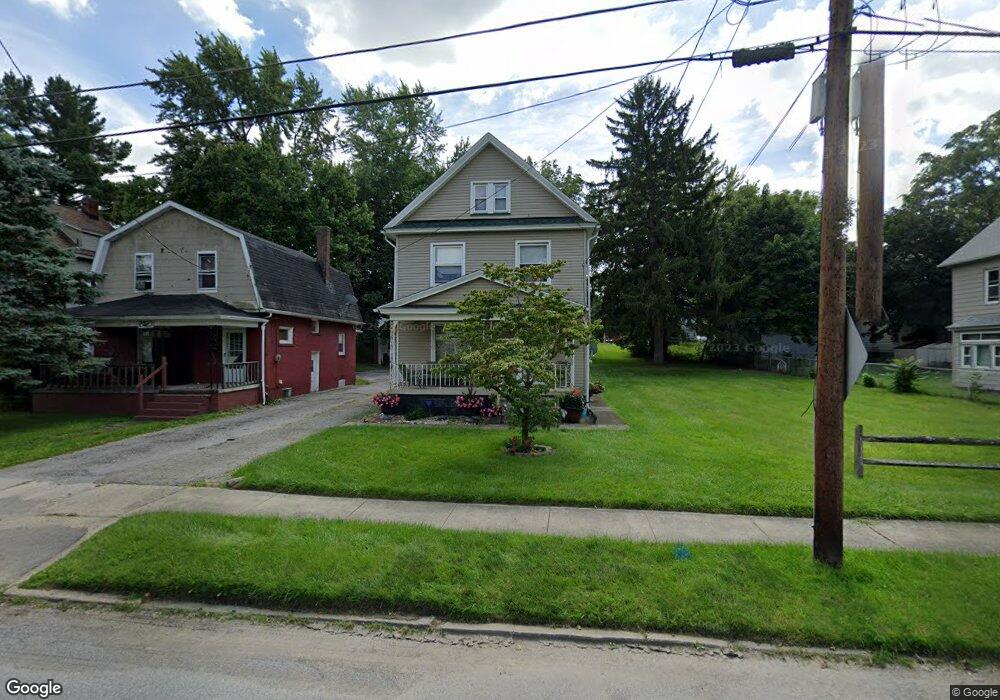
2019 Pointview Ave Youngstown, OH 44502
Buckeye Plat NeighborhoodEstimated Value: $64,000 - $89,000
3
Beds
1
Bath
1,320
Sq Ft
$57/Sq Ft
Est. Value
About This Home
This home is located at 2019 Pointview Ave, Youngstown, OH 44502 and is currently estimated at $74,596, approximately $56 per square foot. 2019 Pointview Ave is a home located in Mahoning County with nearby schools including Paul C. Bunn Elementary School, Chaney High School, and Summit Academy Secondary School - Youngstown.
Ownership History
Date
Name
Owned For
Owner Type
Purchase Details
Closed on
Jul 20, 2000
Sold by
Hyland Edward
Bought by
Barganier James and Barganier Sondra
Current Estimated Value
Home Financials for this Owner
Home Financials are based on the most recent Mortgage that was taken out on this home.
Original Mortgage
$32,000
Outstanding Balance
$11,516
Interest Rate
8.31%
Estimated Equity
$63,080
Purchase Details
Closed on
Jun 15, 1984
Bought by
Hyland Edward J
Create a Home Valuation Report for This Property
The Home Valuation Report is an in-depth analysis detailing your home's value as well as a comparison with similar homes in the area
Home Values in the Area
Average Home Value in this Area
Purchase History
| Date | Buyer | Sale Price | Title Company |
|---|---|---|---|
| Barganier James | $38,000 | -- | |
| Hyland Edward J | -- | -- |
Source: Public Records
Mortgage History
| Date | Status | Borrower | Loan Amount |
|---|---|---|---|
| Open | Barganier James | $32,000 |
Source: Public Records
Tax History Compared to Growth
Tax History
| Year | Tax Paid | Tax Assessment Tax Assessment Total Assessment is a certain percentage of the fair market value that is determined by local assessors to be the total taxable value of land and additions on the property. | Land | Improvement |
|---|---|---|---|---|
| 2024 | $479 | $10,020 | $850 | $9,170 |
| 2023 | $475 | $10,020 | $850 | $9,170 |
| 2022 | $303 | $4,900 | $850 | $4,050 |
| 2021 | $303 | $4,900 | $850 | $4,050 |
| 2020 | $305 | $4,900 | $850 | $4,050 |
| 2019 | $312 | $4,470 | $780 | $3,690 |
| 2018 | $315 | $4,470 | $780 | $3,690 |
| 2017 | $312 | $4,470 | $780 | $3,690 |
| 2016 | $476 | $7,350 | $780 | $6,570 |
| 2015 | $466 | $7,350 | $780 | $6,570 |
| 2014 | $462 | $7,350 | $780 | $6,570 |
| 2013 | $456 | $7,350 | $780 | $6,570 |
Source: Public Records
Map
Nearby Homes
- 2016 Pointview Ave
- 2007 E Midlothian Blvd
- 1954 Everett Ave
- 0 Crescent Dr Unit 5124984
- 3509 Lenox Ave
- 0 Weston Ave
- 3448 Neilson Ave
- 1928 Medford Ave
- 2510 E Midlothian Blvd
- 2001 Brownlee Ave
- 3337 Powers Way
- 2562 Mount Vernon Ave
- 1653 Brownlee Ave
- 2577 E Midlothian Blvd
- 1654 Wakefield Ave
- 1633 Wakefield Ave
- 4528 Sheridan Rd
- 3222 Sheridan Rd
- 3551 Shirley Rd
- 2743 Mount Vernon Ave
- 2023 Pointview Ave
- 2015 Pointview Ave
- 2025 Pointview Ave
- 2009 Pointview Ave
- 2027 Pointview Ave
- 3701 Irma St
- 2005 Pointview Ave
- 2004 S Heights Ave
- 2022 S Heights Ave
- 2012 Pointview Ave
- 2014 S Heights Ave
- 2002 S Heights Ave
- 2035 Pointview Ave
- 2020 Pointview Ave
- 2024 Pointview Ave
- 2004 Pointview Ave
- 2028 S Heights Ave
- 1939 Pointview Ave
- 2028 Pointview Ave
- 2034 S Heights Ave