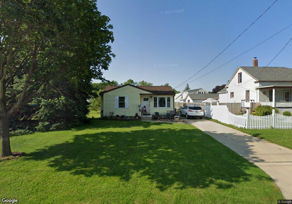
202 Main St Bay City, MI 48706
Estimated Value: $116,000 - $141,127
2
Beds
1
Bath
1,182
Sq Ft
$104/Sq Ft
Est. Value
About This Home
This home is located at 202 Main St, Bay City, MI 48706 and is currently estimated at $123,032, approximately $104 per square foot. 202 Main St is a home located in Bay County with nearby schools including Kolb Elementary School, Handy Middle School, and Bay City Central High School.
Ownership History
Date
Name
Owned For
Owner Type
Purchase Details
Closed on
Dec 8, 2016
Sold by
Klett Susan M
Bought by
Burns Adam
Current Estimated Value
Home Financials for this Owner
Home Financials are based on the most recent Mortgage that was taken out on this home.
Original Mortgage
$52,500
Outstanding Balance
$42,419
Interest Rate
3.54%
Mortgage Type
New Conventional
Estimated Equity
$80,613
Purchase Details
Closed on
May 7, 2014
Sold by
Wazbinski Theodore T
Bought by
Wazbinski Theodore T and Klett Susan M
Home Financials for this Owner
Home Financials are based on the most recent Mortgage that was taken out on this home.
Original Mortgage
$46,000
Interest Rate
4.41%
Mortgage Type
Credit Line Revolving
Purchase Details
Closed on
Dec 1, 1989
Sold by
Monville Ronald L and Monville Ii Ronald L
Bought by
Wazbinski Theodore T and Wazbinski Patricia
Create a Home Valuation Report for This Property
The Home Valuation Report is an in-depth analysis detailing your home's value as well as a comparison with similar homes in the area
Home Values in the Area
Average Home Value in this Area
Purchase History
| Date | Buyer | Sale Price | Title Company |
|---|---|---|---|
| Burns Adam | $58,000 | First American Title Ins Co | |
| Wazbinski Theodore T | -- | None Available | |
| Wazbinski Theodore T | $41,000 | -- |
Source: Public Records
Mortgage History
| Date | Status | Borrower | Loan Amount |
|---|---|---|---|
| Open | Burns Adam | $52,500 | |
| Previous Owner | Wazbinski Theodore T | $46,000 |
Source: Public Records
Tax History Compared to Growth
Tax History
| Year | Tax Paid | Tax Assessment Tax Assessment Total Assessment is a certain percentage of the fair market value that is determined by local assessors to be the total taxable value of land and additions on the property. | Land | Improvement |
|---|---|---|---|---|
| 2025 | $1,596 | $51,200 | $0 | $0 |
| 2024 | $1,314 | $46,400 | $0 | $0 |
| 2023 | $1,251 | $39,250 | $0 | $0 |
| 2022 | $1,436 | $34,750 | $0 | $0 |
| 2021 | $1,351 | $33,450 | $33,450 | $0 |
| 2020 | $1,436 | $29,550 | $29,550 | $0 |
| 2019 | $1,405 | $29,000 | $0 | $0 |
| 2018 | $1,512 | $32,350 | $0 | $0 |
| 2017 | $1,630 | $30,150 | $0 | $0 |
| 2016 | $1,400 | $29,550 | $0 | $29,550 |
| 2015 | $1,360 | $29,700 | $0 | $29,700 |
| 2014 | $1,360 | $27,900 | $0 | $27,900 |
Source: Public Records
Map
Nearby Homes
- 512 Germania St
- 1303 S Warner St
- 1400 S Chilson St
- 1307 Raymond St
- 608 S Williams St
- 509 S Dewitt St
- 901 Germania St
- 1232 S Mountain St
- 400 S Williams St
- 1004 S Arbor St
- 203 W Jenny St
- 305 E Jenny St
- 1801 S Warner St
- 608 N Breaker Cove
- 607 W Jenny St
- 215 S Kiesel St
- 301 S Walnut St Unit 301
- 312 S Barclay St
- 1901 S Mountain St
- 413 Franklin St