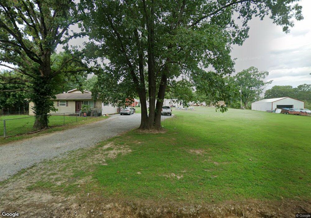
2021 Clark Ave West Plains, MO 65775
Estimated Value: $111,288 - $207,000
--
Bed
--
Bath
1,592
Sq Ft
$102/Sq Ft
Est. Value
About This Home
This home is located at 2021 Clark Ave, West Plains, MO 65775 and is currently estimated at $162,822, approximately $102 per square foot. 2021 Clark Ave is a home with nearby schools including Faith Assembly Christian School.
Ownership History
Date
Name
Owned For
Owner Type
Purchase Details
Closed on
Mar 19, 2007
Sold by
Mcaims Bobbie J and Mcamis Judy I
Bought by
Kittrell Kenneth Charles and Kitrell Ashley
Current Estimated Value
Home Financials for this Owner
Home Financials are based on the most recent Mortgage that was taken out on this home.
Original Mortgage
$78,800
Outstanding Balance
$47,801
Interest Rate
6.3%
Mortgage Type
New Conventional
Estimated Equity
$115,021
Create a Home Valuation Report for This Property
The Home Valuation Report is an in-depth analysis detailing your home's value as well as a comparison with similar homes in the area
Home Values in the Area
Average Home Value in this Area
Purchase History
| Date | Buyer | Sale Price | Title Company |
|---|---|---|---|
| Kittrell Kenneth Charles | -- | Regional Title Inc |
Source: Public Records
Mortgage History
| Date | Status | Borrower | Loan Amount |
|---|---|---|---|
| Open | Kittrell Kenneth Charles | $78,800 |
Source: Public Records
Tax History Compared to Growth
Tax History
| Year | Tax Paid | Tax Assessment Tax Assessment Total Assessment is a certain percentage of the fair market value that is determined by local assessors to be the total taxable value of land and additions on the property. | Land | Improvement |
|---|---|---|---|---|
| 2025 | $401 | $13,310 | $2,590 | $10,720 |
| 2024 | $400 | $11,880 | -- | -- |
| 2023 | $400 | $11,880 | $0 | $0 |
| 2022 | $381 | $11,300 | $0 | $0 |
| 2021 | $359 | $11,300 | $0 | $0 |
| 2020 | $359 | $10,630 | $0 | $0 |
| 2019 | $380 | $10,630 | $0 | $0 |
| 2018 | $360 | $10,060 | $0 | $0 |
| 2017 | $360 | $10,060 | $0 | $0 |
| 2015 | -- | $10,060 | $0 | $0 |
| 2014 | -- | $10,060 | $0 | $0 |
| 2013 | -- | $10,060 | $0 | $0 |
Source: Public Records
Map
Nearby Homes
- 000 Private Road 2014
- 9648 Private Road 6543
- 334 Private Road 2018
- 000 U S 63
- 3440 U S 63
- 000 Porter Wagoner Blvd
- 1718 Luna Dr
- 000 Freedom & Goodhard
- 000 Old Airport Rd
- 000 Hubert Redburn Dr
- 1708 Tiffany St
- 000 Mcfarland St
- 000 Lee Anna Dr
- 1612 Luna Dr
- 2502 Kody Dr
- 2818 Christie Dr
- 1604 Luna Dr
- 1816 Lasswell St
- 1807 Lexington Ave
- 2821 Christie Dr
- 2012 Clark Ave
- 2015 Clark Ave
- 2044 Ridge View Ave
- 2032 Clark Ave
- 236 Cedar St
- 284 Janice St
- 229 Michael St
- 280 Janice St
- 2030 Clark Ave
- 276 Janice St
- 2077 Ridge View Ave
- 245 Cedar St
- 226 Cedar St
- 258 Michael St
- 239 Cedar St
- 225 Michael St
- 233 Cedar St
- 2012 Kenny Ave
- 227 Cedar St
- 0 Michael St Unit 10821139