20265 State Highway 18 Brainerd, MN 56401
Estimated Value: $312,000 - $1,435,000
3
Beds
3
Baths
1,456
Sq Ft
$452/Sq Ft
Est. Value
About This Home
This home is located at 20265 State Highway 18, Brainerd, MN 56401 and is currently estimated at $658,007, approximately $451 per square foot. 20265 State Highway 18 is a home located in Crow Wing County with nearby schools including Garfield Elementary School, Forestview Middle School, and Brainerd Senior High School.
Ownership History
Date
Name
Owned For
Owner Type
Purchase Details
Closed on
Mar 10, 2017
Sold by
Wagner Arthur Arthur
Bought by
Tienter Floyd
Current Estimated Value
Home Financials for this Owner
Home Financials are based on the most recent Mortgage that was taken out on this home.
Original Mortgage
$202,410
Outstanding Balance
$167,942
Interest Rate
4.19%
Estimated Equity
$490,065
Create a Home Valuation Report for This Property
The Home Valuation Report is an in-depth analysis detailing your home's value as well as a comparison with similar homes in the area
Purchase History
| Date | Buyer | Sale Price | Title Company |
|---|---|---|---|
| Tienter Floyd | $224,900 | -- |
Source: Public Records
Mortgage History
| Date | Status | Borrower | Loan Amount |
|---|---|---|---|
| Open | Tienter Floyd | $202,410 |
Source: Public Records
Tax History
| Year | Tax Paid | Tax Assessment Tax Assessment Total Assessment is a certain percentage of the fair market value that is determined by local assessors to be the total taxable value of land and additions on the property. | Land | Improvement |
|---|---|---|---|---|
| 2025 | $1,812 | $331,500 | $181,000 | $150,500 |
| 2024 | $1,812 | $302,800 | $181,600 | $121,200 |
| 2023 | $1,828 | $254,800 | $127,900 | $126,900 |
| 2022 | $1,980 | $265,500 | $142,800 | $122,700 |
| 2021 | $1,840 | $220,200 | $114,800 | $105,400 |
| 2020 | $1,646 | $192,300 | $95,900 | $96,400 |
| 2019 | $1,678 | $177,900 | $86,000 | $91,900 |
| 2018 | $1,454 | $184,500 | $89,400 | $95,100 |
| 2017 | $1,366 | $148,615 | $75,995 | $72,620 |
| 2016 | $1,366 | $138,800 | $68,500 | $70,300 |
| 2015 | $1,396 | $139,200 | $68,600 | $70,600 |
| 2014 | $619 | $128,200 | $70,300 | $57,900 |
Source: Public Records
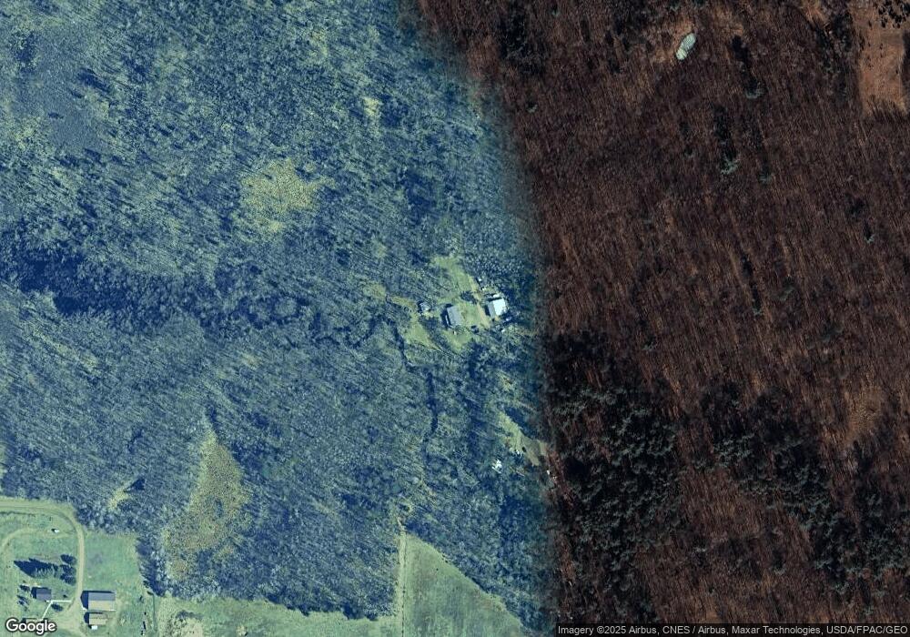
Map
Nearby Homes
- 12xxx County Road 8
- 10038 County Road 8
- 10013 Cr-108
- 23605 State Highway 18
- Tbd County Road 8
- Tbd County Road 8
- TBD County Rd 8
- TBD Rognaldson Rd
- 16418 Park Estates Dr
- 24504 Mn-18
- 24555 Emstad Rd
- 14755 Maple Lake Dr
- 14076 Trails End Ln
- 14777 Katrine Dr
- 14770 Katrine Dr
- XXX Wilson Lake Dr
- 0 Lot 6 Todd Cir Unit NST6814682
- 13496 Wilson Lake Dr
- 25671 Circle Dr
- 25663 Circle Dr
- 20323 State Highway 18
- 20221 State Highway 18
- 20271 State Highway 18
- 20465 State Highway 18
- 20107 State Highway 18
- 20180 State Highway 18
- 20665 State Highway 18
- 20669 State Highway 18
- 20762 State Highway 18
- 13128 Pine Hurst Rd
- 12778 Pine Hurst Rd
- 12956 Pine Hurst Rd
- 20135 Division Rd
- 12857 Pine Hurst Rd
- 12985 Pine Hurst Rd
- 12997 Pine Hurst Rd
- 20839 State Highway 18
- 12696 Pine Hurst Rd
- 12805 Pine Hurst Rd
- 20233 Division Rd
Your Personal Tour Guide
Ask me questions while you tour the home.