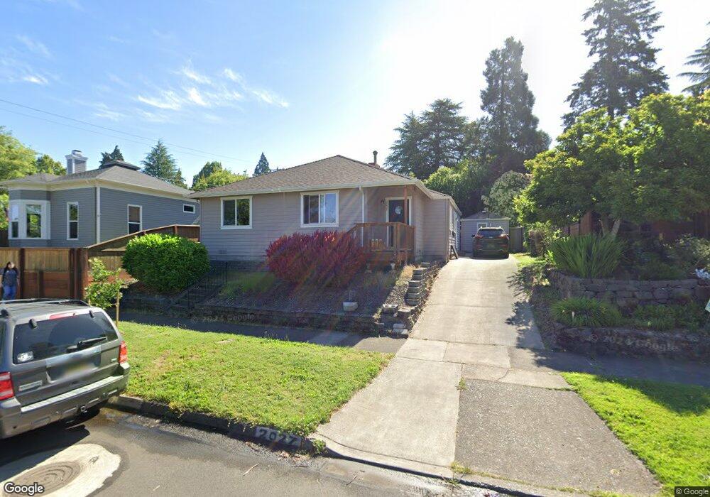
2027 Harris St Eugene, OR 97405
South University NeighborhoodEstimated Value: $584,037 - $687,000
3
Beds
2
Baths
1,360
Sq Ft
$462/Sq Ft
Est. Value
About This Home
This home is located at 2027 Harris St, Eugene, OR 97405 and is currently estimated at $628,259, approximately $461 per square foot. 2027 Harris St is a home located in Lane County with nearby schools including Edison Elementary School, Roosevelt Middle School, and South Eugene High School.
Ownership History
Date
Name
Owned For
Owner Type
Purchase Details
Closed on
Nov 14, 2013
Sold by
Godfrey William Lunt and Godfrey Kathleen M
Bought by
Watts Brian E and Watts Debra L
Current Estimated Value
Home Financials for this Owner
Home Financials are based on the most recent Mortgage that was taken out on this home.
Original Mortgage
$219,000
Outstanding Balance
$162,429
Interest Rate
4.17%
Mortgage Type
New Conventional
Estimated Equity
$465,830
Purchase Details
Closed on
Apr 12, 2006
Sold by
Radostitz Rita J
Bought by
Godfrey William and Godfrey Kathleen
Create a Home Valuation Report for This Property
The Home Valuation Report is an in-depth analysis detailing your home's value as well as a comparison with similar homes in the area
Home Values in the Area
Average Home Value in this Area
Purchase History
| Date | Buyer | Sale Price | Title Company |
|---|---|---|---|
| Watts Brian E | $294,500 | Western Title & Escrow Co | |
| Godfrey William | $299,900 | Western Title & Escrow Compa |
Source: Public Records
Mortgage History
| Date | Status | Borrower | Loan Amount |
|---|---|---|---|
| Open | Watts Brian E | $219,000 |
Source: Public Records
Tax History
| Year | Tax Paid | Tax Assessment Tax Assessment Total Assessment is a certain percentage of the fair market value that is determined by local assessors to be the total taxable value of land and additions on the property. | Land | Improvement |
|---|---|---|---|---|
| 2025 | $6,685 | $343,098 | -- | -- |
| 2024 | $6,602 | $333,105 | -- | -- |
| 2023 | $6,602 | $323,403 | $0 | $0 |
| 2022 | $6,185 | $313,984 | $0 | $0 |
| 2021 | $5,809 | $304,839 | $0 | $0 |
| 2020 | $5,829 | $295,961 | $0 | $0 |
| 2019 | $5,613 | $287,341 | $0 | $0 |
| 2018 | $5,299 | $270,847 | $0 | $0 |
| 2017 | $5,001 | $270,847 | $0 | $0 |
| 2016 | $4,771 | $262,958 | $0 | $0 |
| 2015 | $4,678 | $255,299 | $0 | $0 |
| 2014 | $3,930 | $207,348 | $0 | $0 |
Source: Public Records
Map
Nearby Homes
- 2042 Onyx St
- 780 E 22nd Ave
- 2610 Elinor St
- 1733 Mill Aly
- 2707 Hilyard St
- 0 Agate St
- 2749 Hilyard St
- 193 E 20th Ave
- 1970 Amazon Pkwy
- 181 Civic Dr
- 508 E 14th Ave
- 177 E 20th Ave
- 171 E 20th Ave
- 2642 Central Blvd
- 2815 Hilyard St
- 1600 Pearl St Unit 608
- 509 E 13th Ave
- 1492 Pearl St
- 2031 Olive St
- 2990 Kincaid St
- 2039 Harris St
- 1010 E 20th Ave
- 1046 E 20th Ave
- 2061 Harris St
- 994 E 20th Ave
- 2075 Harris St
- 1066 E 20th Ave
- 1995 Harris St
- 2028 Potter St
- 2052 Potter St
- 1039 E 21st Ave
- 976 E 20th Ave
- 2042 Harris St
- 1025 E 21st Ave
- 2058 Harris St
- 1045 E 20th Ave
- 1065 E 20th Ave
- 2064 Potter St
- 1096 E 20th Ave
- 1063 E 21st Ave
Your Personal Tour Guide
Ask me questions while you tour the home.