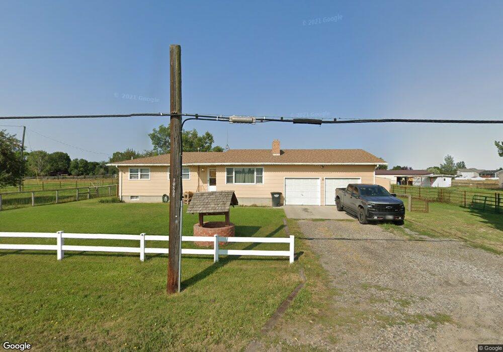
2028 Bitterroot Dr Billings, MT 59105
Billings Heights NeighborhoodEstimated Value: $330,000 - $412,000
4
Beds
2
Baths
1,344
Sq Ft
$289/Sq Ft
Est. Value
About This Home
This home is located at 2028 Bitterroot Dr, Billings, MT 59105 and is currently estimated at $387,903, approximately $288 per square foot. 2028 Bitterroot Dr is a home located in Yellowstone County with nearby schools including Beartooth School, Medicine Crow Middle School, and Skyview High School.
Ownership History
Date
Name
Owned For
Owner Type
Purchase Details
Closed on
Aug 31, 2011
Sold by
Allbright Jackie L and Allbright Jean R
Bought by
Allbright Jack L and Allbright Jean R
Current Estimated Value
Purchase Details
Closed on
Apr 22, 2010
Sold by
Kirk Kathy E Barkell
Bought by
Allbright Jean R
Home Financials for this Owner
Home Financials are based on the most recent Mortgage that was taken out on this home.
Original Mortgage
$130,000
Interest Rate
4.91%
Mortgage Type
Seller Take Back
Create a Home Valuation Report for This Property
The Home Valuation Report is an in-depth analysis detailing your home's value as well as a comparison with similar homes in the area
Home Values in the Area
Average Home Value in this Area
Purchase History
| Date | Buyer | Sale Price | Title Company |
|---|---|---|---|
| Allbright Jack L | -- | None Available | |
| Allbright Jean R | -- | None Available |
Source: Public Records
Mortgage History
| Date | Status | Borrower | Loan Amount |
|---|---|---|---|
| Closed | Allbright Jean R | $130,000 |
Source: Public Records
Tax History
| Year | Tax Paid | Tax Assessment Tax Assessment Total Assessment is a certain percentage of the fair market value that is determined by local assessors to be the total taxable value of land and additions on the property. | Land | Improvement |
|---|---|---|---|---|
| 2025 | $2,784 | $377,300 | $107,524 | $269,776 |
| 2024 | $2,784 | $343,000 | $92,242 | $250,758 |
| 2023 | $2,782 | $343,000 | $92,242 | $250,758 |
| 2022 | $2,505 | $262,900 | $0 | $0 |
| 2021 | $2,494 | $262,900 | $0 | $0 |
| 2020 | $2,133 | $237,000 | $0 | $0 |
| 2019 | $2,092 | $237,000 | $0 | $0 |
| 2018 | $1,941 | $214,000 | $0 | $0 |
| 2017 | $1,882 | $214,000 | $0 | $0 |
| 2016 | $1,812 | $208,500 | $0 | $0 |
| 2015 | $1,770 | $208,500 | $0 | $0 |
| 2014 | $1,547 | $96,089 | $0 | $0 |
Source: Public Records
Map
Nearby Homes
- 1961 Bitterroot Dr
- 1588 Peony Dr
- 1517 Peony Dr
- 1320 Mading Dr
- 1724 Natalie St
- 1635 Elaine St
- 1215 Gardenia Dr
- 1312 Maurine St
- 2130 E Echo Dr
- 1512 Mustang Valley Dr
- 1602 Wicks Ln Unit 8
- 2106 W Echo Dr
- 1403 Eugene Ave
- 1374 Kelsey Ln
- 1402 Emma Ave
- 2610 Bowles Way
- 1409 Carson Way
- 2542 Kaley Ln
- 2530 Kaley Ln
- 1327 Tania Cir
- 2036 Bitterroot Dr
- 3640 Bitterroot Dr
- 1528 Mading Dr
- 2046 Bitterroot Dr
- 1518 Mading Dr
- 2122 Bitterroot Dr
- 1946 Bitterroot Dr
- 1578 Peony Dr
- 1945 Bannack Dr
- 1564 Peony Dr
- 2005 Bitterroot Dr
- 1552 Peony Dr
- 1937 Bannack Dr
- 1540 Peony Dr
- 1936 Bitterroot Dr
- 1944 Bannack Dr
- 1528 Peony Dr
- 1597 Peony Dr
- 1589 Peony Dr
- 1935 Bitterroot Dr
Your Personal Tour Guide
Ask me questions while you tour the home.