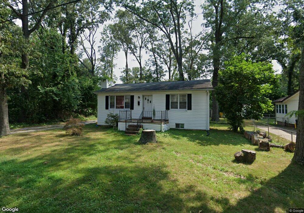
203 Maple Ave Pasadena, MD 21122
Estimated Value: $303,000 - $366,577
Studio
2
Baths
936
Sq Ft
$364/Sq Ft
Est. Value
About This Home
This home is located at 203 Maple Ave, Pasadena, MD 21122 and is currently estimated at $341,144, approximately $364 per square foot. 203 Maple Ave is a home located in Anne Arundel County with nearby schools including Pasadena Elementary School, Chesapeake Bay Middle School, and Chesapeake High School.
Ownership History
Date
Name
Owned For
Owner Type
Purchase Details
Closed on
Jul 24, 2007
Sold by
Lamplough Arthur J
Bought by
Daniel Sandra J
Current Estimated Value
Home Financials for this Owner
Home Financials are based on the most recent Mortgage that was taken out on this home.
Original Mortgage
$164,800
Outstanding Balance
$103,221
Interest Rate
6.54%
Mortgage Type
Purchase Money Mortgage
Estimated Equity
$237,923
Purchase Details
Closed on
Jul 5, 2007
Sold by
Lamplough Arthur J
Bought by
Daniel Sandra J
Home Financials for this Owner
Home Financials are based on the most recent Mortgage that was taken out on this home.
Original Mortgage
$164,800
Outstanding Balance
$103,221
Interest Rate
6.54%
Mortgage Type
Purchase Money Mortgage
Estimated Equity
$237,923
Create a Home Valuation Report for This Property
The Home Valuation Report is an in-depth analysis detailing your home's value as well as a comparison with similar homes in the area
Home Values in the Area
Average Home Value in this Area
Purchase History
| Date | Buyer | Sale Price | Title Company |
|---|---|---|---|
| Daniel Sandra J | $206,000 | -- | |
| Daniel Sandra J | $206,000 | -- |
Source: Public Records
Mortgage History
| Date | Status | Borrower | Loan Amount |
|---|---|---|---|
| Open | Daniel Sandra J | $164,800 | |
| Closed | Daniel Sandra J | $164,800 |
Source: Public Records
Tax History
| Year | Tax Paid | Tax Assessment Tax Assessment Total Assessment is a certain percentage of the fair market value that is determined by local assessors to be the total taxable value of land and additions on the property. | Land | Improvement |
|---|---|---|---|---|
| 2025 | $2,925 | $294,100 | -- | -- |
| 2024 | $2,925 | $278,400 | $167,800 | $110,600 |
| 2023 | $2,845 | $275,267 | $0 | $0 |
| 2022 | $2,661 | $272,133 | $0 | $0 |
| 2020 | $2,520 | $249,667 | $0 | $0 |
| 2019 | $2,464 | $230,333 | $0 | $0 |
| 2018 | $2,140 | $211,000 | $116,100 | $94,900 |
| 2017 | $2,303 | $200,567 | $0 | $0 |
| 2016 | -- | $190,133 | $0 | $0 |
| 2015 | -- | $179,700 | $0 | $0 |
| 2014 | -- | $179,700 | $0 | $0 |
Source: Public Records
Map
Nearby Homes
- 105 Maple Ave
- 106 Railroad Ave
- 306 Christy Rd
- 108 Westley Ave
- 110 Natalie Ln
- 8306 Carli Ct
- 119 Sheppard Rd
- 97 Hampstead Ct
- 8262 Railroad Ave
- 220 Cypress Ridge Dr
- 140 Overlea Rd
- 205 Cahill Ave
- 205 Cahill Ave Unit 4
- 8301 Jumpers Hole Rd
- 130 Clarence Ave
- 368 Idle Pines Road - Wilmington Model
- 121 Clarence Ave
- 119 Earliana Ct
- 8341 Daydream Crescent
- 415 Metropolitan Blvd
Your Personal Tour Guide
Ask me questions while you tour the home.