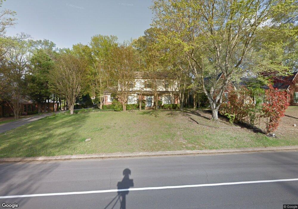
2030 Brierbrook Rd Germantown, TN 38138
Estimated Value: $420,649 - $459,000
4
Beds
4
Baths
2,797
Sq Ft
$160/Sq Ft
Est. Value
About This Home
This home is located at 2030 Brierbrook Rd, Germantown, TN 38138 and is currently estimated at $447,412, approximately $159 per square foot. 2030 Brierbrook Rd is a home located in Shelby County with nearby schools including Farmington Elementary School, Houston Middle School, and Houston High School.
Ownership History
Date
Name
Owned For
Owner Type
Purchase Details
Closed on
Aug 6, 2004
Sold by
Jamieson E Dale
Bought by
Burrow Susan Sammons and S Clark Burrow G
Current Estimated Value
Purchase Details
Closed on
Sep 23, 1997
Sold by
Bobbitt James E and Bobbitt Edrie
Bought by
Jamieson E Dale
Home Financials for this Owner
Home Financials are based on the most recent Mortgage that was taken out on this home.
Original Mortgage
$70,000
Interest Rate
7.55%
Mortgage Type
Purchase Money Mortgage
Create a Home Valuation Report for This Property
The Home Valuation Report is an in-depth analysis detailing your home's value as well as a comparison with similar homes in the area
Home Values in the Area
Average Home Value in this Area
Purchase History
| Date | Buyer | Sale Price | Title Company |
|---|---|---|---|
| Burrow Susan Sammons | -- | -- | |
| Jamieson E Dale | $160,000 | Stewart Title Company |
Source: Public Records
Mortgage History
| Date | Status | Borrower | Loan Amount |
|---|---|---|---|
| Previous Owner | Jamieson E Dale | $70,000 |
Source: Public Records
Tax History Compared to Growth
Tax History
| Year | Tax Paid | Tax Assessment Tax Assessment Total Assessment is a certain percentage of the fair market value that is determined by local assessors to be the total taxable value of land and additions on the property. | Land | Improvement |
|---|---|---|---|---|
| 2025 | $2,957 | $110,950 | $19,775 | $91,175 |
| 2024 | $2,957 | $87,225 | $12,125 | $75,100 |
| 2023 | $4,560 | $87,225 | $12,125 | $75,100 |
| 2022 | $4,416 | $87,225 | $12,125 | $75,100 |
| 2021 | $4,473 | $87,225 | $12,125 | $75,100 |
| 2020 | $3,833 | $63,875 | $12,125 | $51,750 |
| 2019 | $2,587 | $63,875 | $12,125 | $51,750 |
| 2018 | $2,587 | $63,875 | $12,125 | $51,750 |
| 2017 | $2,625 | $63,875 | $12,125 | $51,750 |
| 2016 | $2,597 | $59,425 | $0 | $0 |
| 2014 | $2,597 | $59,425 | $0 | $0 |
Source: Public Records
Map
Nearby Homes
- 2062 Bensonwood Dr
- 2057 Sonning Dr
- 8043 Farmington Blvd
- 2133 Cranbrook Dr
- 1914 Malabar Dr
- 1911 Brierbrook Rd
- 7956 Woodford Ln
- 1899 River Valley Dr
- 1847 Gray Ridge Cove Unit 2
- 1838 Fernspring Cove Unit 36
- 1841 Eagle Branch Cove Unit 1
- 1843 Eagle Branch Cove Unit 50
- 1822 Dragonfly Cove Unit 79
- 2155 Wickersham Ln
- 1824 Crossflower Cove Unit 94
- 2279 Pinnacle Creek Dr
- 1836 Kimbrough Rd
- 7924 Signature Cove
- 2211 Wickersham Ln
- 8161 Hunters Grove Ln
- 2020 Brierbrook Rd
- 2040 Brierbrook Rd
- 2035 Bensonwood Dr
- 2023 Bensonwood Dr
- 2045 Bensonwood Dr
- 2050 Brierbrook Rd
- 2010 Brierbrook Rd
- 2029 Brierbrook Rd
- 2041 Brierbrook Rd
- 2019 Brierbrook Rd
- 2055 Bensonwood Dr
- 7989 Goringwood Ln
- 2060 Brierbrook Rd
- 2009 Brierbrook Rd
- 2057 Brierbrook Rd
- 2034 Bensonwood Dr
- 2065 Bensonwood Dr
- 2030 Woodgate Dr
- 2044 Bensonwood Dr
- 2024 Bensonwood Dr