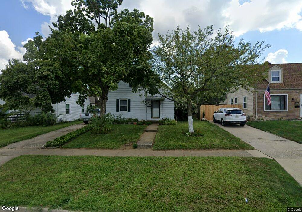
2030 W Bataan Dr Dayton, OH 45420
Estimated Value: $95,000 - $174,000
2
Beds
1
Bath
1,008
Sq Ft
$150/Sq Ft
Est. Value
About This Home
This home is located at 2030 W Bataan Dr, Dayton, OH 45420 and is currently estimated at $150,907, approximately $149 per square foot. 2030 W Bataan Dr is a home located in Montgomery County with nearby schools including Greenmont Elementary School, Kettering Middle School, and Kettering Fairmont High School.
Ownership History
Date
Name
Owned For
Owner Type
Purchase Details
Closed on
Apr 1, 2025
Sold by
Bullard Carol
Bought by
Fop Fair Oaks Llc
Current Estimated Value
Purchase Details
Closed on
Sep 15, 2003
Sold by
James Ragon and James Angela M
Bought by
Bullard Carol
Home Financials for this Owner
Home Financials are based on the most recent Mortgage that was taken out on this home.
Original Mortgage
$88,500
Interest Rate
4.75%
Mortgage Type
Purchase Money Mortgage
Purchase Details
Closed on
Jun 29, 2000
Sold by
West Kimberly P and West Rodney J
Bought by
Ragon Ii James
Home Financials for this Owner
Home Financials are based on the most recent Mortgage that was taken out on this home.
Original Mortgage
$81,458
Interest Rate
8.64%
Mortgage Type
FHA
Purchase Details
Closed on
Mar 21, 1996
Sold by
Bennett Daniel E and Bennett Christine M
Bought by
Ballweg Kimberly P and West Rodney J
Create a Home Valuation Report for This Property
The Home Valuation Report is an in-depth analysis detailing your home's value as well as a comparison with similar homes in the area
Home Values in the Area
Average Home Value in this Area
Purchase History
| Date | Buyer | Sale Price | Title Company |
|---|---|---|---|
| Fop Fair Oaks Llc | $83,118 | None Listed On Document | |
| Bullard Carol | $88,500 | -- | |
| Ragon Ii James | $81,500 | -- | |
| Ballweg Kimberly P | -- | -- |
Source: Public Records
Mortgage History
| Date | Status | Borrower | Loan Amount |
|---|---|---|---|
| Previous Owner | Bullard Carol | $88,500 | |
| Previous Owner | Ragon Ii James | $81,458 |
Source: Public Records
Tax History Compared to Growth
Tax History
| Year | Tax Paid | Tax Assessment Tax Assessment Total Assessment is a certain percentage of the fair market value that is determined by local assessors to be the total taxable value of land and additions on the property. | Land | Improvement |
|---|---|---|---|---|
| 2024 | $2,712 | $43,180 | $11,010 | $32,170 |
| 2023 | $2,712 | $43,180 | $11,010 | $32,170 |
| 2022 | $2,400 | $30,140 | $7,700 | $22,440 |
| 2021 | $2,222 | $30,140 | $7,700 | $22,440 |
| 2020 | $2,229 | $30,140 | $7,700 | $22,440 |
| 2019 | $2,302 | $27,550 | $7,700 | $19,850 |
| 2018 | $2,314 | $27,550 | $7,700 | $19,850 |
| 2017 | $2,134 | $27,550 | $7,700 | $19,850 |
| 2016 | $2,270 | $24,240 | $7,700 | $16,540 |
| 2015 | $1,938 | $24,240 | $7,700 | $16,540 |
| 2014 | $1,938 | $24,240 | $7,700 | $16,540 |
| 2012 | -- | $27,980 | $8,400 | $19,580 |
Source: Public Records
Map
Nearby Homes
- 1914 W Bataan Dr
- 2139 E Bataan Dr
- 1910 Roop Place
- 1744 Woodman Dr
- 2530 Barryknoll St
- 1840 Culver Ave
- 1512 Horlacher Ave
- 1508 Horlacher Ave
- 2830 Kennedy Ave
- 1513 Horlacher Ave
- 1701 Marilyn Ave
- 2004 Hazel Ave
- 2408 Homeland Ct
- 1829 Hazel Ave
- 4802 Amesborough Rd
- 1542 Scottsdale Dr
- 4643 Amesborough Rd
- 2908 Kingston Ave
- 1615 Farrington Dr
- 2603 Kennedy Ave
- 2034 W Bataan Dr
- 2026 W Bataan Dr
- 2022 W Bataan Dr
- 2029 Malcom Dr
- 2159 Adventure Dr
- 2042 W Bataan Dr
- 2163 Adventure Dr
- 2018 W Bataan Dr
- 2021 Malcom Dr
- 2167 Adventure Dr
- 2031 W Bataan Dr
- 2027 W Bataan Dr
- 2035 W Bataan Dr
- 2014 W Bataan Dr
- 2035 Malcom Dr
- 2017 Malcom Dr
- 2023 W Bataan Dr
- 2039 W Bataan Dr
- 2019 W Bataan Dr
- 2013 Malcom Dr