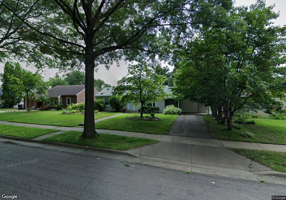
2032 Magnolia Ave E Saint Paul, MN 55119
Lincoln Park NeighborhoodEstimated Value: $254,000 - $291,000
3
Beds
1
Bath
800
Sq Ft
$335/Sq Ft
Est. Value
About This Home
This home is located at 2032 Magnolia Ave E, Saint Paul, MN 55119 and is currently estimated at $267,862, approximately $334 per square foot. 2032 Magnolia Ave E is a home located in Ramsey County with nearby schools including Hazel Park Preparatory Academy, Txuj Ci HMong Language and Culture Upper Campus, and Johnson Senior High School.
Ownership History
Date
Name
Owned For
Owner Type
Purchase Details
Closed on
Apr 15, 2016
Sold by
Stone Financing Llc
Bought by
Johnson Holly J
Current Estimated Value
Home Financials for this Owner
Home Financials are based on the most recent Mortgage that was taken out on this home.
Original Mortgage
$123,000
Outstanding Balance
$97,812
Interest Rate
3.71%
Mortgage Type
New Conventional
Estimated Equity
$170,050
Purchase Details
Closed on
Jun 27, 2003
Sold by
Davis Vrigin W and Davis Livna
Bought by
Jay and Renee L
Purchase Details
Closed on
Feb 8, 2002
Sold by
Sheenan Deborah A and Sheenan Larry
Bought by
Sheeman Lorna A and Callinan Judith
Create a Home Valuation Report for This Property
The Home Valuation Report is an in-depth analysis detailing your home's value as well as a comparison with similar homes in the area
Home Values in the Area
Average Home Value in this Area
Purchase History
| Date | Buyer | Sale Price | Title Company |
|---|---|---|---|
| Johnson Holly J | $172,000 | Liberty Title Inc | |
| Stone Financing Llc | $172,000 | Liberty Title Inc | |
| Jay | $178,000 | -- | |
| Sheeman Lorna A | $160,000 | -- |
Source: Public Records
Mortgage History
| Date | Status | Borrower | Loan Amount |
|---|---|---|---|
| Open | Johnson Holly J | $123,000 |
Source: Public Records
Tax History Compared to Growth
Tax History
| Year | Tax Paid | Tax Assessment Tax Assessment Total Assessment is a certain percentage of the fair market value that is determined by local assessors to be the total taxable value of land and additions on the property. | Land | Improvement |
|---|---|---|---|---|
| 2025 | $3,958 | $261,000 | $30,000 | $231,000 |
| 2023 | $3,958 | $263,900 | $25,000 | $238,900 |
| 2022 | $3,340 | $259,900 | $25,000 | $234,900 |
| 2021 | $3,052 | $218,900 | $25,000 | $193,900 |
| 2020 | $2,924 | $208,500 | $33,200 | $175,300 |
| 2019 | $2,822 | $188,900 | $33,200 | $155,700 |
| 2018 | $2,454 | $180,600 | $33,200 | $147,400 |
| 2017 | $2,170 | $164,800 | $33,200 | $131,600 |
| 2016 | $2,734 | $0 | $0 | $0 |
| 2015 | $2,392 | $159,000 | $33,200 | $125,800 |
| 2014 | $2,256 | $0 | $0 | $0 |
Source: Public Records
Map
Nearby Homes
- 2037 Manitou Ave
- 2067 Nokomis Ave
- 834 Iroquois Ave
- 1976 Orange Ave E
- 1824 Sims Ave
- 2064 Nortonia Ave
- 2054 Nortonia Ave
- 2032 Hyacinth Ave E
- 2161 Ross Ave E
- 2002 Nortonia Ave
- 2086 Waukon Ave
- 1806 Maryland Ave E
- 1126 Breen St
- 1111 Breen St
- 1747 York Ave
- 1250 Mcknight Rd N
- 2121 Minnehaha Ave E
- 2172 Reaney Ave E
- 1752 Stillwater Ave
- 1755 Maryland Ave E
- 2032 2032 Magnolia-Avenue-e
- 2036 Magnolia Ave E
- 2024 Magnolia Ave E
- 2040 Magnolia Ave E
- 2031 Ames Ave
- 2035 Ames Ave
- 2046 Magnolia Ave E
- 2046 2046 Magnolia Ave E
- 2023 Ames Ave
- 2031 Magnolia Ave E
- 2041 Ames Ave
- 2037 Magnolia Ave E
- 2052 Magnolia Ave E
- 2052 2052 Magnolia Ave E
- 2043 2043 Magnolia Ave E
- 2047 Ames Ave
- 2047 Magnolia Ave E
- 2053 Ames Ave
- 2043 Magnolia Ave E
- 2053 Magnolia Ave E