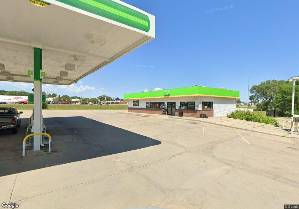
2035 E Mitchell Ave Waterloo, IA 50702
Estimated Value: $667,765
--
Bed
--
Bath
2,340
Sq Ft
$285/Sq Ft
Est. Value
About This Home
This home is located at 2035 E Mitchell Ave, Waterloo, IA 50702 and is currently estimated at $667,765, approximately $285 per square foot. 2035 E Mitchell Ave is a home located in Black Hawk County with nearby schools including Kittrell Elementary School, Hoover Middle School, and West High School.
Ownership History
Date
Name
Owned For
Owner Type
Purchase Details
Closed on
Jan 18, 2017
Sold by
Gerand Llc
Bought by
Musab Petroleum Llc
Current Estimated Value
Purchase Details
Closed on
Sep 28, 2005
Sold by
Boeschen Reinhard G and Boeschen Angelika M
Bought by
Gerand Llc
Create a Home Valuation Report for This Property
The Home Valuation Report is an in-depth analysis detailing your home's value as well as a comparison with similar homes in the area
Home Values in the Area
Average Home Value in this Area
Purchase History
| Date | Buyer | Sale Price | Title Company |
|---|---|---|---|
| Musab Petroleum Llc | $455,000 | None Available | |
| Gerand Llc | $328,000 | None Available |
Source: Public Records
Tax History Compared to Growth
Tax History
| Year | Tax Paid | Tax Assessment Tax Assessment Total Assessment is a certain percentage of the fair market value that is determined by local assessors to be the total taxable value of land and additions on the property. | Land | Improvement |
|---|---|---|---|---|
| 2025 | $29,690 | $590,010 | $193,440 | $396,570 |
| 2024 | $29,690 | $792,210 | $386,880 | $405,330 |
| 2023 | $14,688 | $792,210 | $386,880 | $405,330 |
| 2022 | $13,596 | $465,000 | $270,230 | $194,770 |
| 2021 | $13,638 | $465,000 | $270,230 | $194,770 |
| 2020 | $13,826 | $465,000 | $270,230 | $194,770 |
| 2019 | $13,826 | $465,000 | $270,230 | $194,770 |
| 2018 | $13,444 | $465,000 | $270,230 | $194,770 |
| 2017 | $13,328 | $465,000 | $270,230 | $194,770 |
| 2016 | $13,482 | $465,000 | $270,230 | $194,770 |
| 2015 | $13,482 | $465,000 | $270,230 | $194,770 |
| 2014 | $14,748 | $465,000 | $270,230 | $194,770 |
Source: Public Records
Map
Nearby Homes
- 1832 Patton Ave
- 444 Gladys St
- 406-408 Gladys St
- 1739 Patton Ave
- 1933 Plymouth Ave
- 1664 Hawthorne Ave
- 1727 Forest Ave
- 1309 Sheffield Ave
- 1742 Howard Ave
- 1642 Bertch Ave
- 1201 Lyon Ave
- 1240 Lyon Ave
- 905 W 11th St
- 1524 Williston Ave
- 811 Hammond Ave
- 312 Glendale St
- 1912 Sycamore St
- 1445 Hammond Ave
- 2003 Randolph St
- 649 W 11th St
- 919 Birmingham Ave
- 924 Sheffield Ave
- 905 Birmingham Ave
- 950 Sheffield Ave
- 901 Birmingham Ave
- 901 Birmingham Ave
- 902 Sheffield Ave
- 925 Sheffield Ave
- 915 Sheffield Ave
- 909 Sheffield Ave
- 901 Sheffield Ave
- 2109 Regal Ave
- 2111 Regal Ave
- 2214 Regal Ave
- 2206 Temple Ave
- 924 Lowell Ave
- 2115 Regal Ave
- 922B Laporte Rd
- 830 Laporte Rd
- 2201 Regal Ave