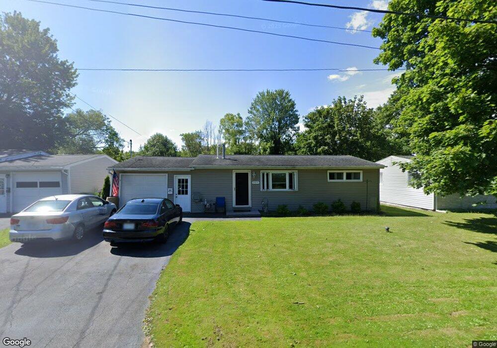
204 Mohawk Dr Syracuse, NY 13211
Estimated Value: $152,000 - $182,000
3
Beds
1
Bath
936
Sq Ft
$176/Sq Ft
Est. Value
About This Home
This home is located at 204 Mohawk Dr, Syracuse, NY 13211 and is currently estimated at $164,746, approximately $176 per square foot. 204 Mohawk Dr is a home located in Onondaga County with nearby schools including North Syracuse Junior High School, Cicero-North Syracuse High School, and Ihsan School Of Excellence.
Ownership History
Date
Name
Owned For
Owner Type
Purchase Details
Closed on
Nov 6, 2012
Sold by
Defreitas John
Bought by
Defreitas David
Current Estimated Value
Purchase Details
Closed on
May 27, 2003
Sold by
Sec Hud
Bought by
Defreitas John
Purchase Details
Closed on
Oct 21, 2002
Sold by
Ferrara Paul A
Bought by
Midfirst Bank
Purchase Details
Closed on
Dec 16, 1994
Sold by
Osier Daniel E and Osier Sheila
Bought by
Ferrara Paul A
Create a Home Valuation Report for This Property
The Home Valuation Report is an in-depth analysis detailing your home's value as well as a comparison with similar homes in the area
Home Values in the Area
Average Home Value in this Area
Purchase History
| Date | Buyer | Sale Price | Title Company |
|---|---|---|---|
| Defreitas David | -- | -- | |
| Defreitas John | $29,500 | -- | |
| Midfirst Bank | $76,175 | -- | |
| Ferrara Paul A | $54,000 | -- |
Source: Public Records
Tax History
| Year | Tax Paid | Tax Assessment Tax Assessment Total Assessment is a certain percentage of the fair market value that is determined by local assessors to be the total taxable value of land and additions on the property. | Land | Improvement |
|---|---|---|---|---|
| 2024 | $3,882 | $94,300 | $13,100 | $81,200 |
| 2023 | $3,683 | $94,300 | $13,100 | $81,200 |
| 2022 | $3,966 | $94,300 | $13,100 | $81,200 |
| 2021 | $3,924 | $85,700 | $13,100 | $72,600 |
| 2020 | $1,796 | $81,600 | $13,100 | $68,500 |
| 2019 | $1,726 | $77,000 | $12,400 | $64,600 |
| 2018 | $1,976 | $77,000 | $12,400 | $64,600 |
| 2017 | $1,332 | $77,000 | $12,400 | $64,600 |
| 2016 | $1,849 | $77,000 | $12,400 | $64,600 |
| 2015 | -- | $77,000 | $12,400 | $64,600 |
| 2014 | -- | $77,000 | $12,400 | $64,600 |
Source: Public Records
Map
Nearby Homes
- 132 Lind Ave
- 352 Roxford Rd N
- 718 Matty Ave
- 406 Beley Ave
- 207 Wright Ave
- 110 Northwood Dr
- 103 Toas Ave
- 209 Northwood Dr
- 116 Berwick Rd N
- 106 Matty Ave
- 203 Brookline Rd
- 108 Harrington St
- 1911 Brewerton Rd
- 110 Edgemere Rd
- 104 Garden City Dr
- 106 Garden City Dr
- 2908 Court St
- 200 Garden City Dr
- 0 Berwick Rd S Unit S1620869
- 155 Malden Rd
- 206 Mohawk Dr
- 202 Mohawk Dr
- 208 Mohawk Dr
- 200 Mohawk Dr
- 205 Plymouth Ave S
- 210 Mohawk Dr
- 207 Mohawk Dr
- 209 Mohawk Dr
- 212 Mohawk Dr
- 119 Mohawk Dr
- 203 Plymouth Ave S
- 211 Mohawk Dr
- 204 Plymouth Ave S
- 110 Mohawk Dr
- 213 Mohawk Dr
- 214 Mohawk Dr
- 1002 Boulevard St
- 201 Plymouth Ave S
- 1004 Boulevard St
- 202 Plymouth Ave S
Your Personal Tour Guide
Ask me questions while you tour the home.