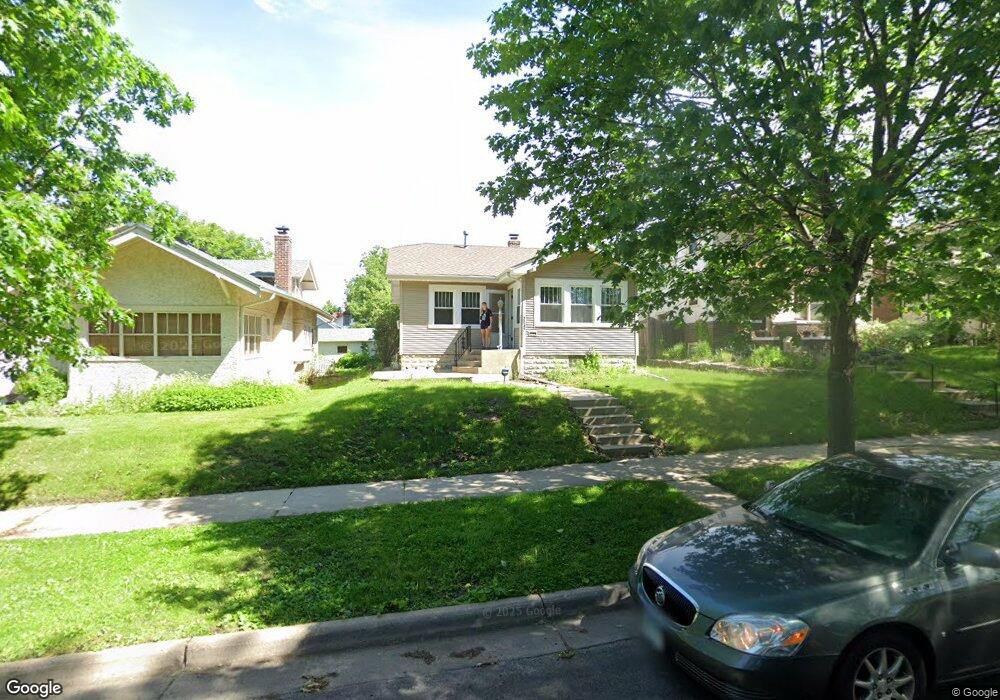
2043 Stanford Ave Saint Paul, MN 55105
Macalester-Groveland NeighborhoodEstimated Value: $443,023 - $471,000
3
Beds
2
Baths
1,760
Sq Ft
$259/Sq Ft
Est. Value
About This Home
This home is located at 2043 Stanford Ave, Saint Paul, MN 55105 and is currently estimated at $455,756, approximately $258 per square foot. 2043 Stanford Ave is a home located in Ramsey County with nearby schools including Groveland Park Elementary School, Hidden River Middle School, and Central Senior High School.
Ownership History
Date
Name
Owned For
Owner Type
Purchase Details
Closed on
Dec 17, 2019
Sold by
Smith Samuel R and Smith Laura A
Bought by
Hougo Lucas Neil Cisek
Current Estimated Value
Home Financials for this Owner
Home Financials are based on the most recent Mortgage that was taken out on this home.
Original Mortgage
$274,500
Outstanding Balance
$242,011
Interest Rate
3.6%
Mortgage Type
New Conventional
Estimated Equity
$213,745
Purchase Details
Closed on
Jun 12, 2015
Sold by
Stauff Shannon M and Stauff Ryan A
Bought by
Erding Laura A and Smith Samuel R
Home Financials for this Owner
Home Financials are based on the most recent Mortgage that was taken out on this home.
Original Mortgage
$243,650
Interest Rate
3.82%
Mortgage Type
New Conventional
Create a Home Valuation Report for This Property
The Home Valuation Report is an in-depth analysis detailing your home's value as well as a comparison with similar homes in the area
Home Values in the Area
Average Home Value in this Area
Purchase History
| Date | Buyer | Sale Price | Title Company |
|---|---|---|---|
| Hougo Lucas Neil Cisek | $305,000 | Titlesmart Inc | |
| Erding Laura A | $278,954 | Titlesmart Inc |
Source: Public Records
Mortgage History
| Date | Status | Borrower | Loan Amount |
|---|---|---|---|
| Open | Hougo Lucas Neil Cisek | $274,500 | |
| Previous Owner | Erding Laura A | $243,650 |
Source: Public Records
Tax History Compared to Growth
Tax History
| Year | Tax Paid | Tax Assessment Tax Assessment Total Assessment is a certain percentage of the fair market value that is determined by local assessors to be the total taxable value of land and additions on the property. | Land | Improvement |
|---|---|---|---|---|
| 2025 | $5,570 | $429,700 | $140,800 | $288,900 |
| 2023 | $5,570 | $358,800 | $140,800 | $218,000 |
| 2022 | $5,020 | $346,900 | $140,800 | $206,100 |
| 2021 | $4,782 | $316,500 | $140,800 | $175,700 |
| 2020 | $4,938 | $303,900 | $140,800 | $163,100 |
| 2019 | $4,570 | $301,600 | $140,800 | $160,800 |
| 2018 | $4,016 | $277,700 | $140,800 | $136,900 |
| 2017 | $3,722 | $254,100 | $140,800 | $113,300 |
| 2016 | $3,840 | $0 | $0 | $0 |
| 2015 | $3,994 | $244,100 | $126,700 | $117,400 |
| 2014 | $3,506 | $0 | $0 | $0 |
Source: Public Records
Map
Nearby Homes
- 281 Cleveland Ave S
- 2129 Stanford Ave
- 2133 Berkeley Ave
- 188 Cleveland Ave S
- 2114 Randolph Ave
- 313 Stonebridge Blvd
- 317 Stonebridge Blvd
- 1926 Lincoln Ave
- 2250 Princeton Ave
- 1818 Juliet Ave
- 2009 Grand Ave
- 475 Mount Curve Blvd
- 2047 Grand Ave
- 2248 Goodrich Ave
- 2056 Summit Ave
- 196 Mississippi River Blvd S
- 1797 James Ave
- 1917 Summit Ave Unit 2
- 2225 Summit Ave
- 2128 Bayard Ave
- 2047 Stanford Ave
- 2039 Stanford Ave
- 2033 Stanford Ave
- 2051 Stanford Ave
- 2055 Stanford Ave
- 2031 Stanford Ave
- 2040 Berkeley Ave
- 2036 Berkeley Ave
- 2044 Berkeley Ave
- 2057 Stanford Ave
- 2027 Stanford Ave
- 2032 Berkeley Ave
- 2048 Berkeley Ave
- 2042 Stanford Ave
- 2028 Berkeley Ave
- 2052 Berkeley Ave
- 2044 Stanford Ave
- 2038 Stanford Ave
- 2023 Stanford Ave
- 2026 Berkeley Ave