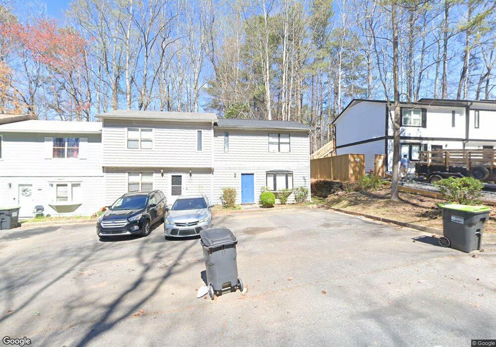
2046 Drennon Ave Unit 2046 Austell, GA 30106
Estimated Value: $147,000 - $216,000
2
Beds
3
Baths
1,056
Sq Ft
$176/Sq Ft
Est. Value
About This Home
This home is located at 2046 Drennon Ave Unit 2046, Austell, GA 30106 and is currently estimated at $186,107, approximately $176 per square foot. 2046 Drennon Ave Unit 2046 is a home located in Cobb County with nearby schools including Deerwood Elementary School, Clarkdale Elementary School, and Garrett Middle School.
Ownership History
Date
Name
Owned For
Owner Type
Purchase Details
Closed on
Nov 22, 2010
Sold by
Shockley Devre
Bought by
Pyron Brigham
Current Estimated Value
Purchase Details
Closed on
Jul 30, 2004
Sold by
Damor Properties Inc
Bought by
Shockley Devre
Home Financials for this Owner
Home Financials are based on the most recent Mortgage that was taken out on this home.
Original Mortgage
$58,400
Interest Rate
6.22%
Mortgage Type
New Conventional
Purchase Details
Closed on
Jun 2, 1998
Sold by
Davis Reginald G
Bought by
Ge Capital Mtg Svcs Inc
Create a Home Valuation Report for This Property
The Home Valuation Report is an in-depth analysis detailing your home's value as well as a comparison with similar homes in the area
Home Values in the Area
Average Home Value in this Area
Purchase History
| Date | Buyer | Sale Price | Title Company |
|---|---|---|---|
| Pyron Brigham | $18,000 | -- | |
| Shockley Devre | $61,500 | -- | |
| Ge Capital Mtg Svcs Inc | $38,000 | -- |
Source: Public Records
Mortgage History
| Date | Status | Borrower | Loan Amount |
|---|---|---|---|
| Previous Owner | Shockley Devre | $58,400 |
Source: Public Records
Tax History Compared to Growth
Tax History
| Year | Tax Paid | Tax Assessment Tax Assessment Total Assessment is a certain percentage of the fair market value that is determined by local assessors to be the total taxable value of land and additions on the property. | Land | Improvement |
|---|---|---|---|---|
| 2025 | $1,460 | $48,472 | $10,000 | $38,472 |
| 2024 | $1,461 | $48,472 | $10,000 | $38,472 |
| 2023 | $1,461 | $48,472 | $10,000 | $38,472 |
| 2022 | $629 | $20,736 | $4,000 | $16,736 |
| 2021 | $629 | $20,736 | $4,000 | $16,736 |
| 2020 | $590 | $19,436 | $4,000 | $15,436 |
| 2019 | $590 | $19,436 | $4,000 | $15,436 |
| 2018 | $590 | $19,436 | $4,000 | $15,436 |
| 2017 | $391 | $13,612 | $4,000 | $9,612 |
| 2016 | $391 | $13,612 | $4,000 | $9,612 |
| 2015 | $401 | $13,612 | $4,000 | $9,612 |
| 2014 | $404 | $13,612 | $0 | $0 |
Source: Public Records
Map
Nearby Homes
- 2046 Drennon Ave
- 2048 Drennon Ave
- 2050 Drennon Ave
- 2044 Drennon Ave
- 2042 Drennon Ave
- 2052 Drennon Ave
- 2040 Drennon Ave
- 2038 Drennon Ave
- 1975 Padgett Dr
- 2036 Drennon Ave
- 1981 Padgett Dr
- 1979 Padgett Dr
- 1977 Padgett Dr
- 1971 Padgett Dr
- 1983 Padgett Dr
- 1973 Padgett Dr
- 2032 Drennon Ave
- 1985 Padgett Dr
- 2030 Drennon Ave
- 1987 Padgett Dr