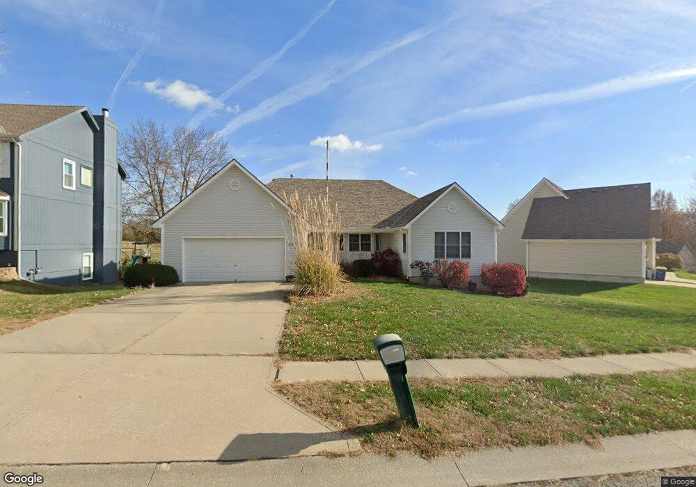
205 Maple Ln Smithville, MO 64089
Estimated Value: $323,000 - $396,000
2
Beds
2
Baths
1,890
Sq Ft
$191/Sq Ft
Est. Value
About This Home
This home is located at 205 Maple Ln, Smithville, MO 64089 and is currently estimated at $360,703, approximately $190 per square foot. 205 Maple Ln is a home located in Clay County with nearby schools including Maple Elementary School, Smithville Middle School, and Smithville High School.
Ownership History
Date
Name
Owned For
Owner Type
Purchase Details
Closed on
Feb 23, 2015
Sold by
Turner Arlene and Turner Ben
Bought by
Turner Arlene K and The Arlene Turner Trust
Current Estimated Value
Purchase Details
Closed on
Mar 1, 2013
Sold by
Forsen Marion J and Blascyk Sandra
Bought by
Turner Arlene and Turner Ben
Home Financials for this Owner
Home Financials are based on the most recent Mortgage that was taken out on this home.
Original Mortgage
$142,000
Outstanding Balance
$99,705
Interest Rate
3.43%
Mortgage Type
New Conventional
Estimated Equity
$260,998
Purchase Details
Closed on
Dec 9, 1998
Sold by
Km Fine Homes Llc
Bought by
Forsen William R and Forsen Marion J
Purchase Details
Closed on
Dec 2, 1997
Sold by
Vogelaar Kim
Bought by
Km Fine Homes Llc
Purchase Details
Closed on
Sep 17, 1997
Sold by
Kindred Investment Company
Bought by
Vogelaar Kim
Create a Home Valuation Report for This Property
The Home Valuation Report is an in-depth analysis detailing your home's value as well as a comparison with similar homes in the area
Home Values in the Area
Average Home Value in this Area
Purchase History
| Date | Buyer | Sale Price | Title Company |
|---|---|---|---|
| Turner Arlene K | -- | None Available | |
| Turner Arlene | -- | Stewart Title Company | |
| Forsen William R | -- | United Title Company | |
| Km Fine Homes Llc | -- | United Title Company Inc | |
| Vogelaar Kim | -- | United Title Company |
Source: Public Records
Mortgage History
| Date | Status | Borrower | Loan Amount |
|---|---|---|---|
| Open | Turner Arlene | $142,000 |
Source: Public Records
Tax History
| Year | Tax Paid | Tax Assessment Tax Assessment Total Assessment is a certain percentage of the fair market value that is determined by local assessors to be the total taxable value of land and additions on the property. | Land | Improvement |
|---|---|---|---|---|
| 2025 | $3,764 | $58,390 | -- | -- |
| 2024 | $3,764 | $52,140 | -- | -- |
| 2023 | $3,601 | $52,140 | $0 | $0 |
| 2022 | $3,168 | $44,180 | $0 | $0 |
| 2021 | $3,190 | $44,175 | $3,420 | $40,755 |
| 2020 | $2,849 | $39,180 | $0 | $0 |
| 2019 | $2,870 | $39,180 | $0 | $0 |
Source: Public Records
Map
Nearby Homes
- 702 Quincy Blvd
- 542 Maple Ave
- 523 Hawthorne St
- 1.77 Acres Highway 169
- 0000 Highway 169
- 17205 Thomas Lane Rd
- 319 E Meadow St
- 0 Highway 169
- 503 Whitetail Ct
- 407 Sixth St
- 508 Whitetail Ct
- 206 Winner Ave
- 604 Blackhawke Dr
- 506 Blackhawke Dr
- 504 Blackhawke Dr
- 700 Blackhawke Dr
- 502 Blackhawke Dr
- 500 Blackhawke Dr
- 17409 Sparrowhawke Dr
- 17506 Greyhawke Ridge Dr
Your Personal Tour Guide
Ask me questions while you tour the home.